

Page snapshot: Georgia State Geologic Map; Fossil; Rock; Mineral; Gem; Highest and Lowest Elevations; Places to Visit; and Additional Resources.
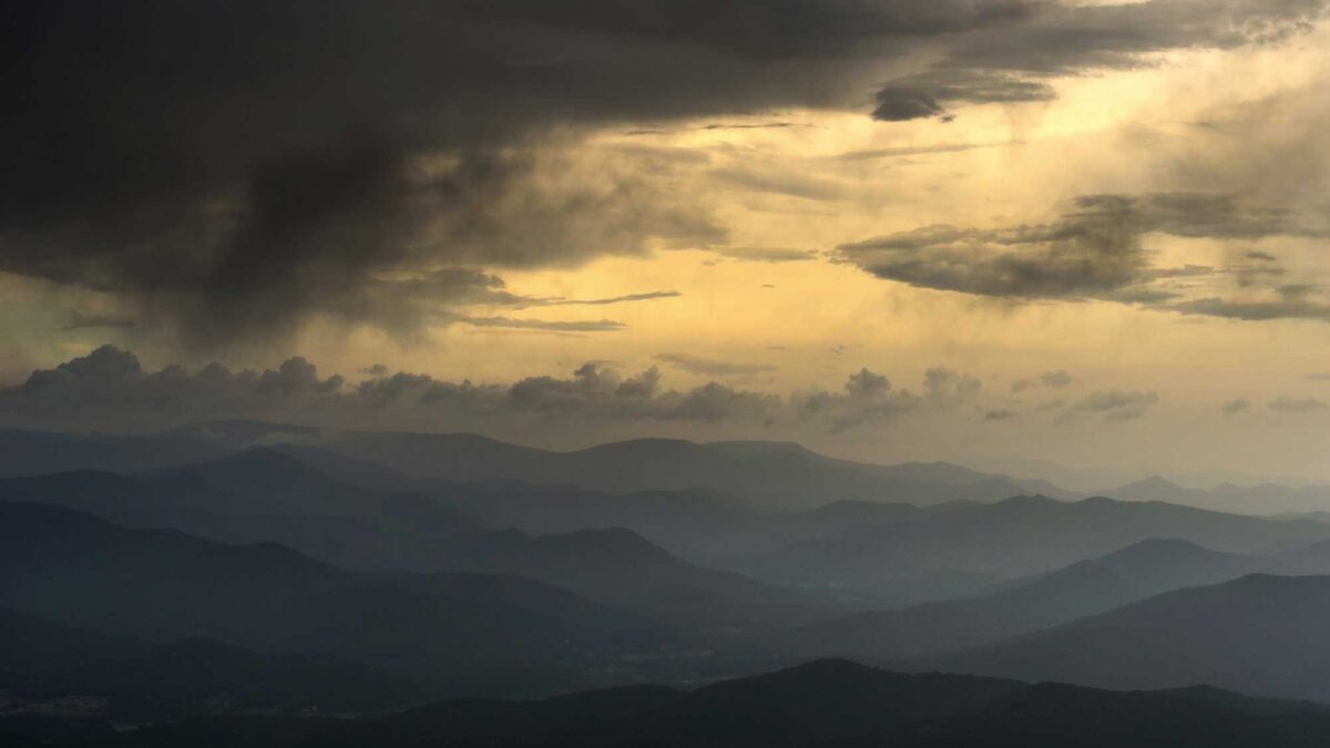
Image above: View from the top of Brasstown Bald, the highest point in Georgia. Photograph by Kostya Kartavenka (Flickr; Creative Commons Attribution-NonCommercial 2.0 Generic license; image cropped and resized).
Geologic Map of Georgia
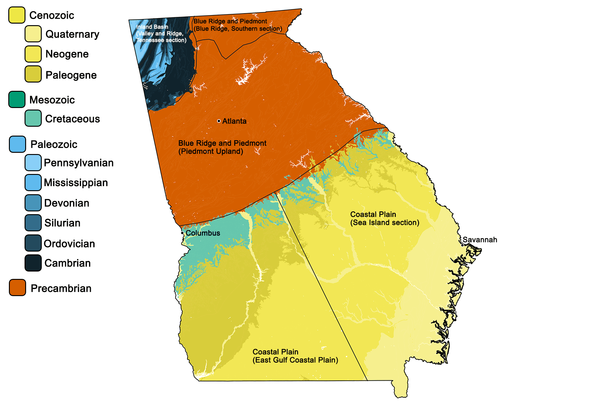
Geologic map of Georgia showing maximum ages of mappable units. Image by Jonathan R. Hendricks for the Earth@Home project developed using QGIS and USGS data (public domain) from Fenneman and Johnson (1946) and Horton et al. (2017).
Georgia State Fossil: Shark Tooth (species not specified)
The teeth that ancient sharks left behind are common in some deposits in Georgia.
"Shark Tooth Island Georgia Fossils!" by Fossil Fever (YouTube).
Georgia State Rock: None
What do you think Georgia's official state rock should be? Add you suggestions to the comments below.
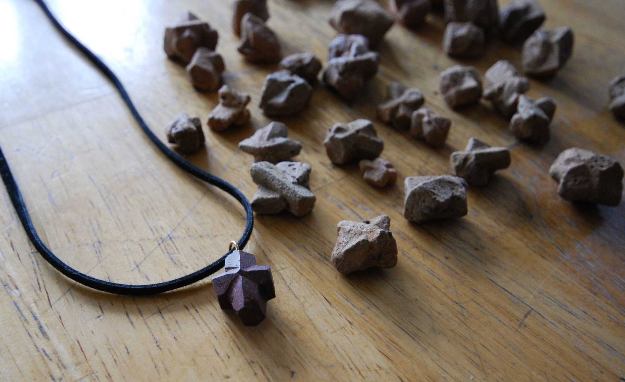
Georgia State Mineral: Staurolite
Staurolite is a dark crystal, usually red or black, that often forms in a twinned or cross-shaped formation. Staurolite crystals are sometimes called "fairy stones" or "fairy crosses," and are often kept as good luck charms.
Staurolite specimens from Fairy Stone State Park in Virginia. Photograph by Virginia State Parks (Flickr; Creative Commons Attribution 2.0 Generic license; image resized).
Georgia State Gem: Quartz
Quartz is the second most abundant mineral in Earth's crust and comes in many different varieties including amethyst, citrine, and clear quartz. Quartzes of many different colors are commonly found throughout Georgia.
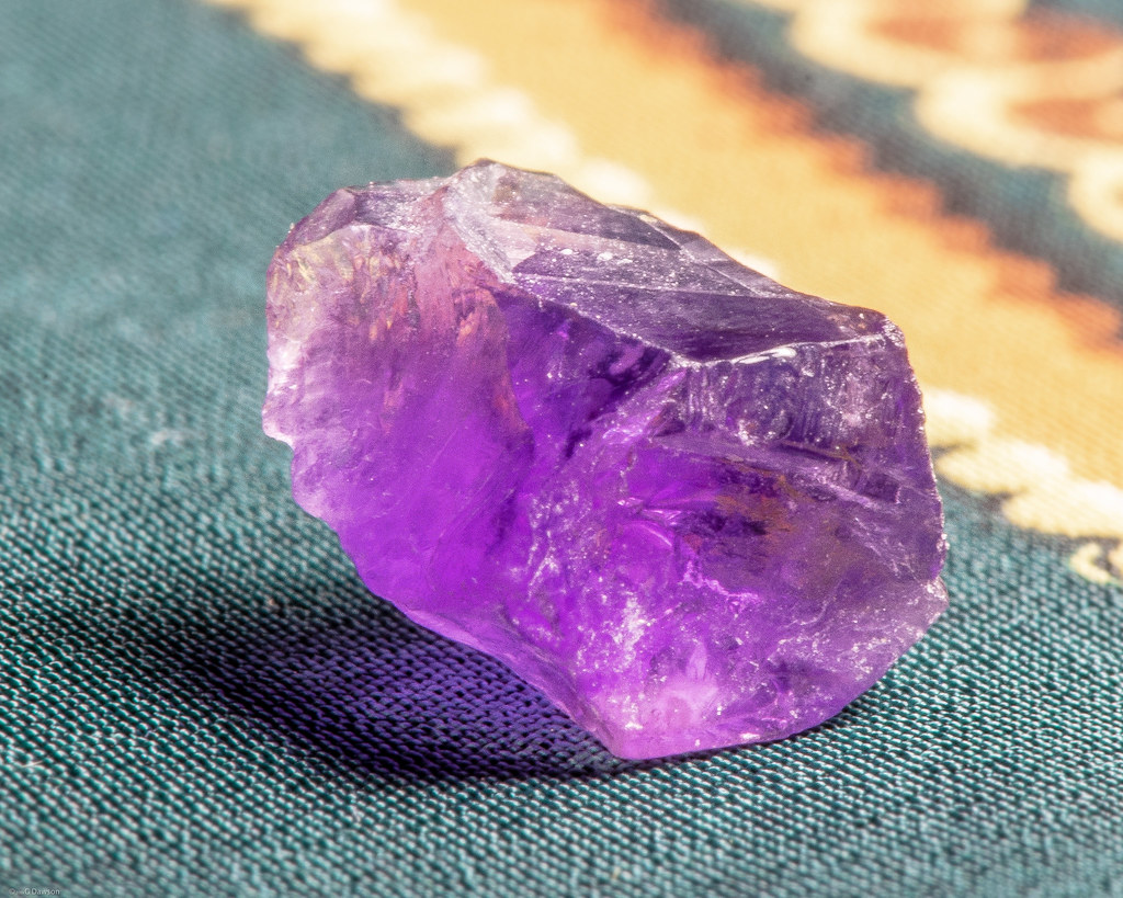
Specimen of amethyst quartz from Georgia. Photograph by G. Dawson (Flickr; Creative Commons Attribution-NonCommercial-NoDerivs 2.0 Generic license).
Georgia's Highest and Lowest Elevations
Highest Elevation: Brasstown Bald
The Chattahoochee-Oconee National Forest is home to Brasstown Bald, Georgia's highest mountain. At 1458 meters (4784 feet) in elevation, the peak offers 360 degree views of four states—Georgia, North Carolina, Tennessee, and South Carolina—and on clear days, even the skyline of Atlanta is visible.
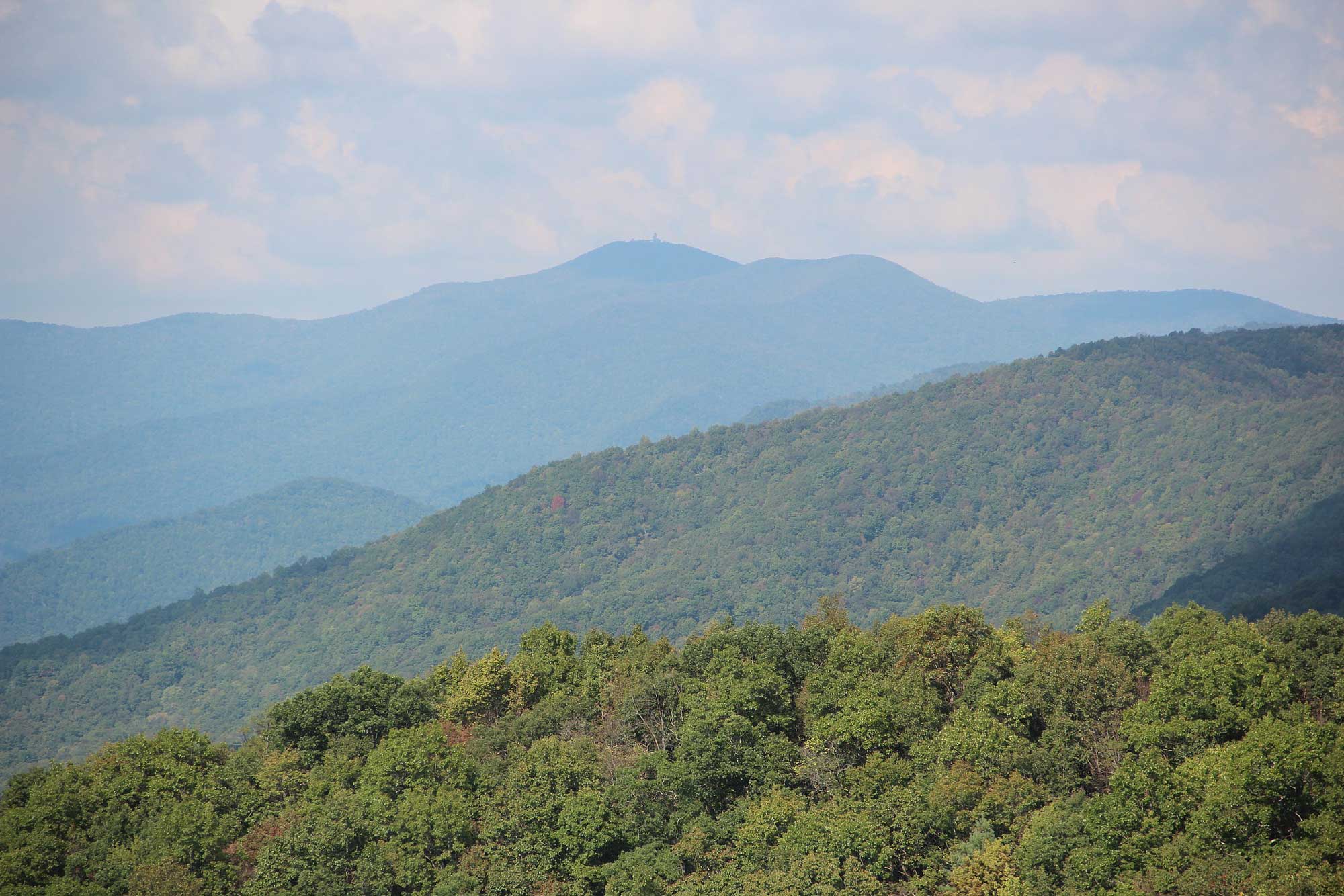
Brasstown Bald is the highest peak in the distance; photographed from Hogpen Gap. Photograph by "Thomson200" (Wikimedia Commons; public domain).
Lowest Elevation: Atlantic Coast
Georgia's lowest points are found at sea level along the coast, where the shoreline meets the Atlantic Ocean.
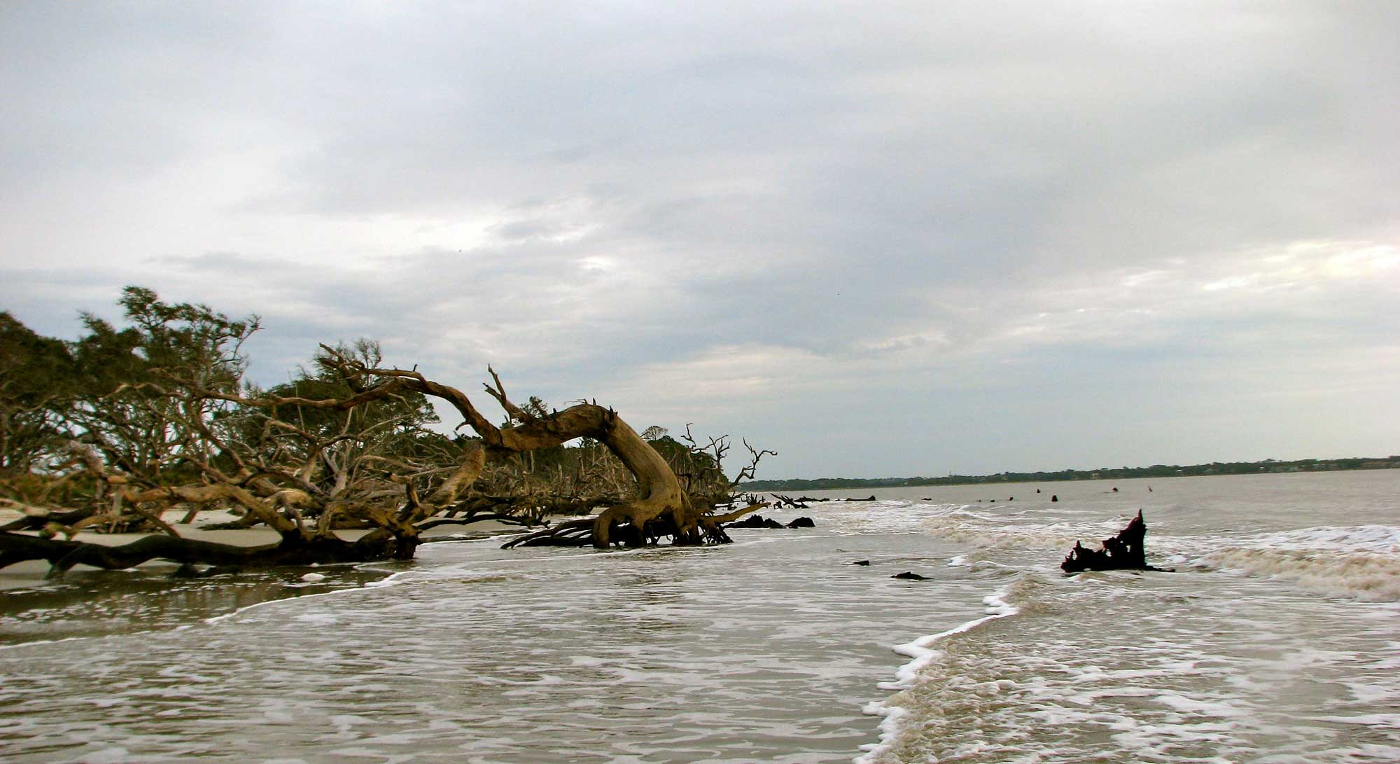
Jekyll Island, on the Atlantic coast of Georgia. Photograph by Jeff Gunn (Flickr; Creative Commons Attribution 2.0 Generic license; image resized).
Places to Visit
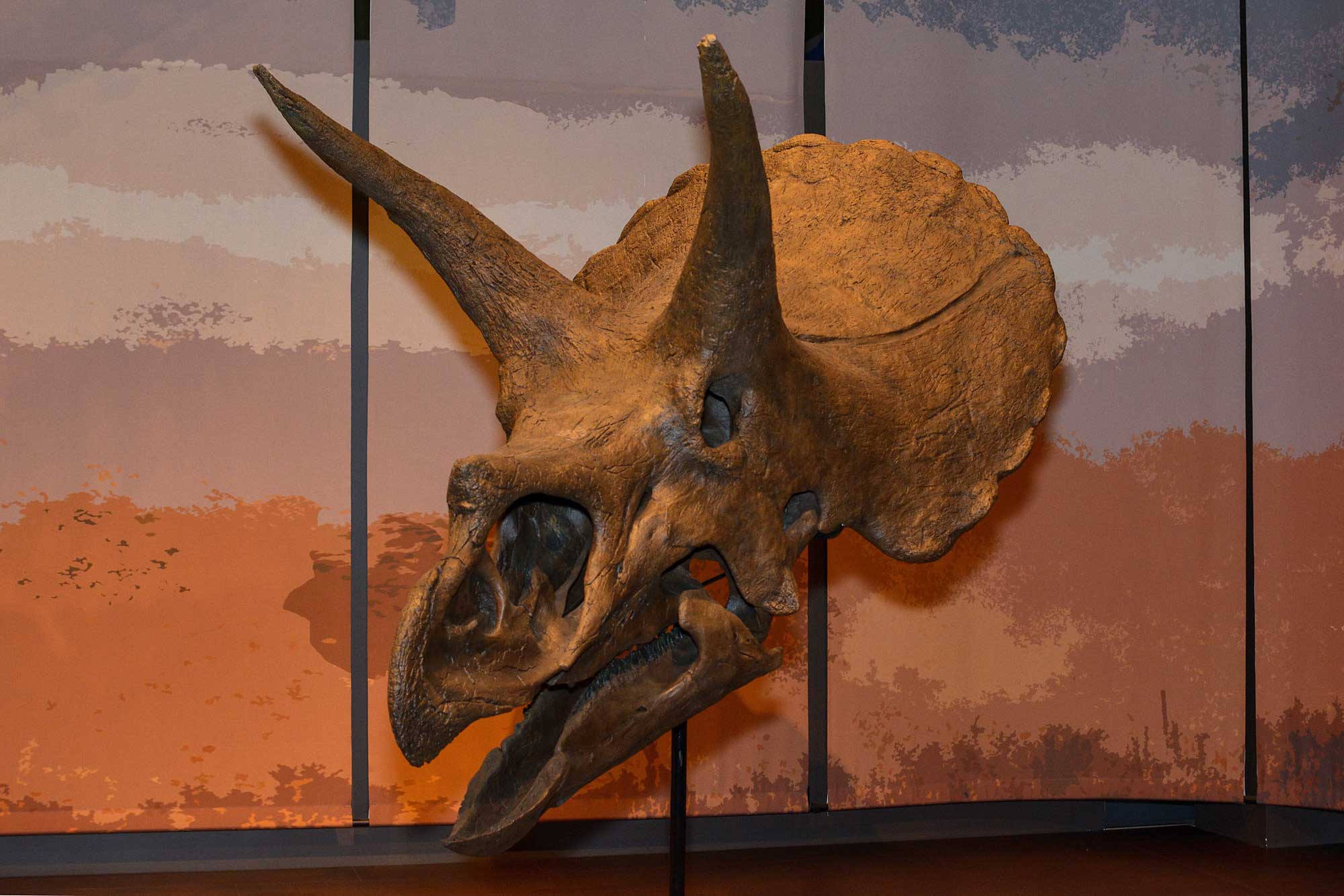
A Triceratops skull on display at the Tellus Science Museum in Georgia. Photograph by Rob DiCaterino (Flickr; Creative Commons Attribution 2.0 Generic license; image resized).
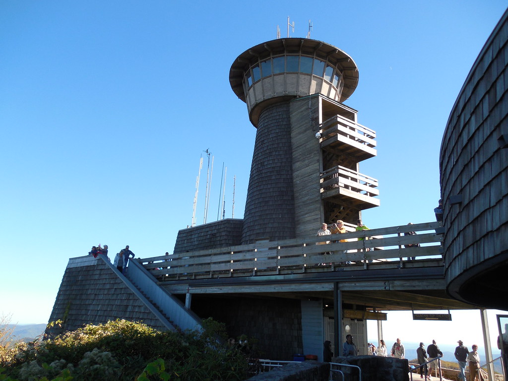
Brasstown Bald observation tower. Photograph by Jimmy Everson (Flickr; Creative Commons Attribution-NonCommercial-NoDerivs 2.0 Generic license).
Additional resources
Comments 1
Granite should be the Georgia State rock.