About Earth@Home
Last updated April 15, 2024
The Paleontological Research Institution (PRI) has a long history of serving diverse audiences, from scientists to school children. As part of an ongoing effort to continue to grow its national reach and expand its educational outreach offerings, PRI has developed Earth@Home, your free online resource for learning about Earth and its 4.5-billion-year history.
Earth@Home is rich with free interactive content about Earth and its life, with a focus on geology, paleontology, climate, and the connections of Earth’s different systems. This user guide highlights some of the major components of the Earth science section of Earth@Home. Please be sure to also visit the other parts of Earth@Home: Climate, Biodiversity, and Evolution.
Support
Development of the Here on Earth component of Earth@Home was supported by a grant from the Institute of Museum and Library Services (IMLS) as part of the FY2022 American Rescue Plan Grants Program (ARPML-250637-OMLS-22). (The views, findings, conclusions or recommendations expressed in this website do not necessarily represent those of the Institute of Museum and Library Services.)
Other aspects of the Earth@Home website have been developed with support from users like you. Please consider supporting the Earth@Home project with a donation to the Paleontological Research Institution, which is a registered 501(c)(3) non-profit institution. Your donation will help support the development of additional quality content for this website.
Here on Earth: Regional Guides to the Earth Science of the United States
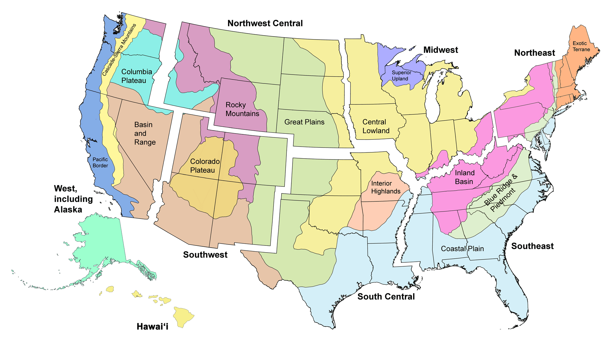
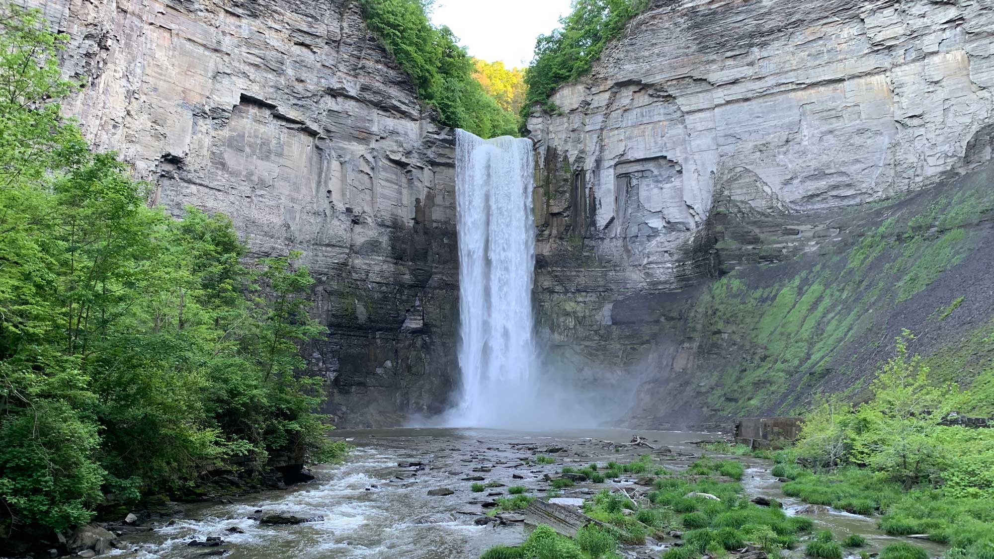
The place where you are right now has a rich geological history that is recorded by the rocks beneath you and the fossils that they may contain. The rocks and fossils reveal the movements of continents and the evolution of new forms of life. This history helps to explain why the Earth looks like it does today. It also explains things like the distributions of natural resources, from rare minerals to rich soils for agriculture. Studying Earth's ancient climate also helps us to make sense of how the climate is changing today and how it will affect us where we live.
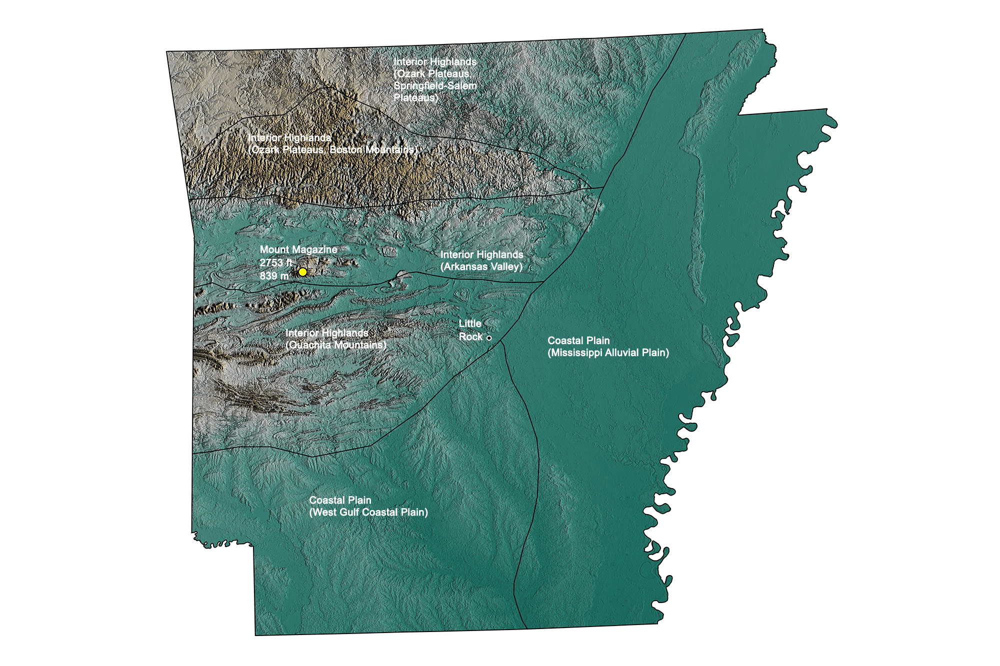
The goal of this part of Earth@Home is to explain the Earth science of every region of the United States and provide necessary background information. Each region is divided into physiographic provinces: regions that are naturally defined by their modern topography and geologic history. The map above shows the major physiographic regions of the contiguous United States that we are using in Earth@Home.
Within each region you will find information about the area's rocks, fossils, geologic history, mineral resources, energy, climate, glaciers, and Earth hazards. Click on the region of the map above that you want to learn more about.
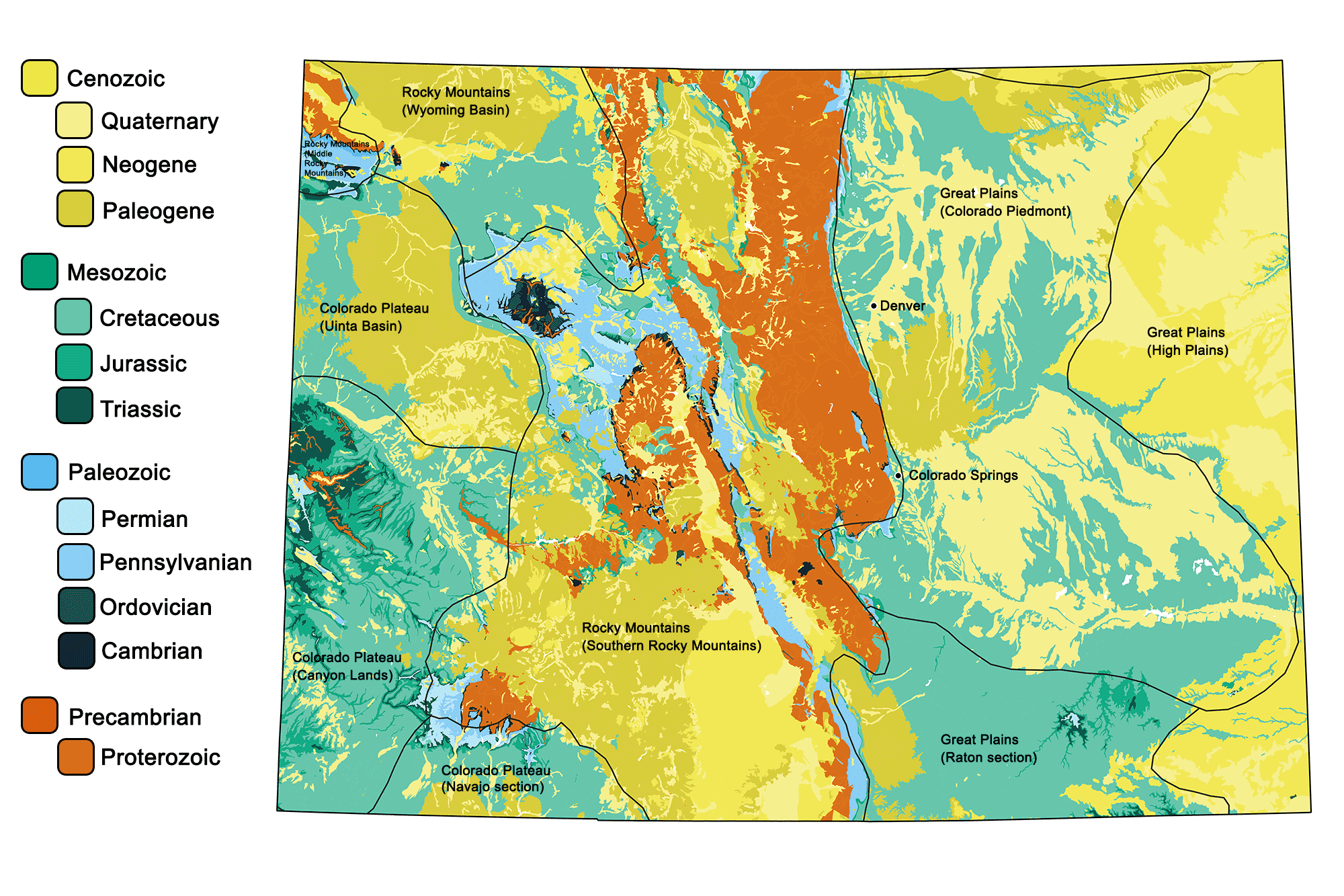
Geologic and Topographic Maps of the United States
We have created geologic and topographic maps for all 50 U.S. states. These all have Creative Commons licensing and may be freely used for educational, noncommercial purposes.
Geologic Maps
Topographic Maps
United States Earth Science Quick Facts
In this part of Earth@Home, we share "fun facts" about the Earth science of each U.S. state and also highlight museums and natural places that you can visit to learn more.
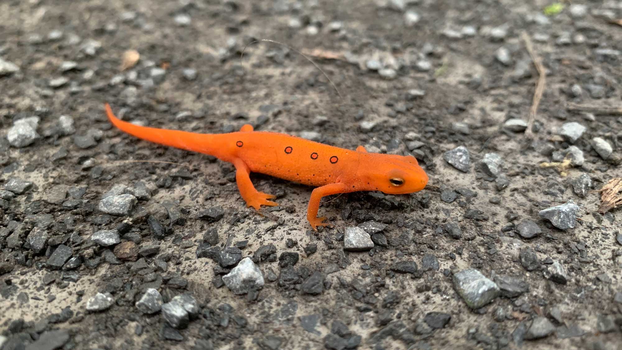
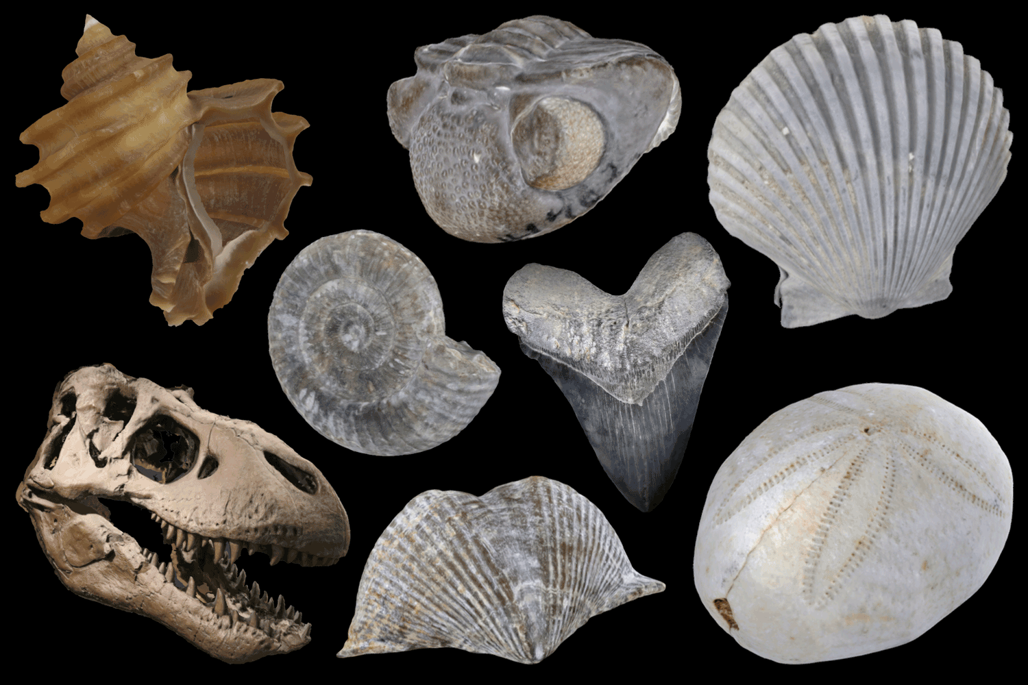
Fossils of the United States
Find out more about the fossils that have been found near where you live or places that you have visited.
Earth@Home Workshops
Watch past video workshops about the Earth@Home regional guides on YouTube.
Digital Encyclopedia of Earth Science
The Digital Encyclopedia of Earth Science is Earth@Home's free, open access online textbook. There are quick guides and in-depth introductions to a variety of Earth science topics and more will be added soon!
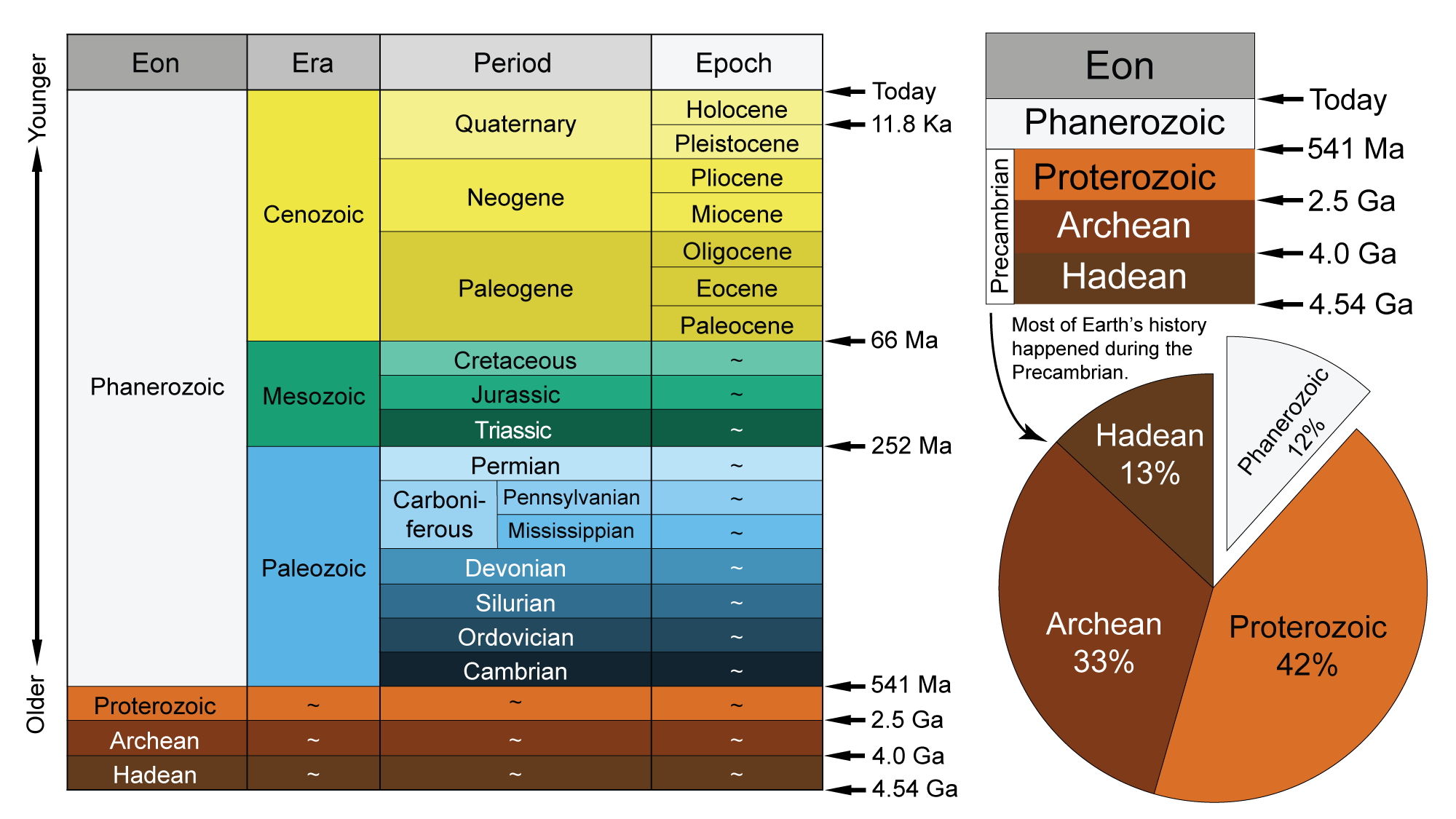
Geologic Time Scale
Learn about the geologic time scale and major events from Earth's past on this page, which is the most popular on the Earth@Home website!
Frequently Asked Questions (FAQ) about Earth Science
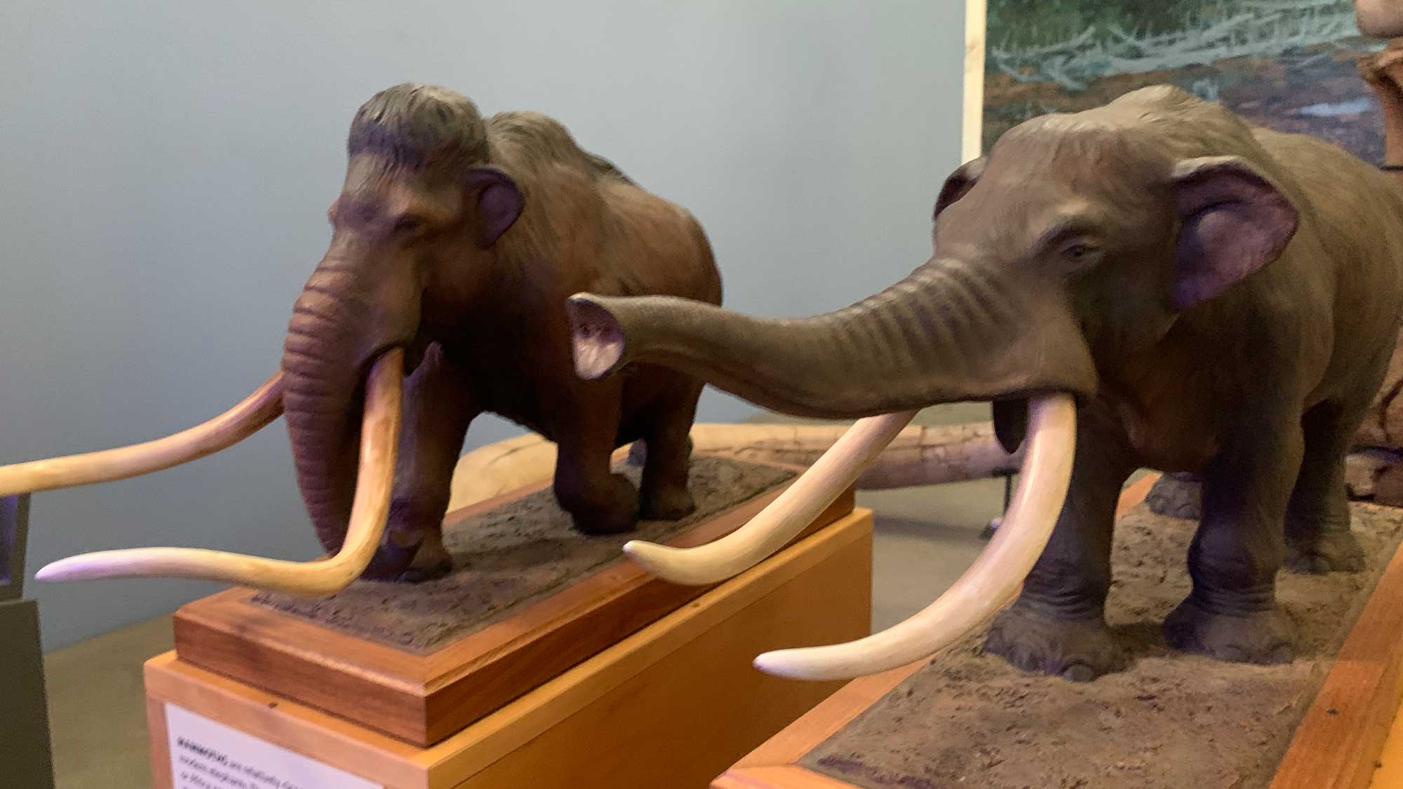
Quick answers to common questions, such as what is the difference between a mammoth and a mastodon?
Virtual Science
This part of Earth@Home includes a toolkit of virtual resources to help you learn and discover more about the Earth.
Virtual Fieldwork Experiences
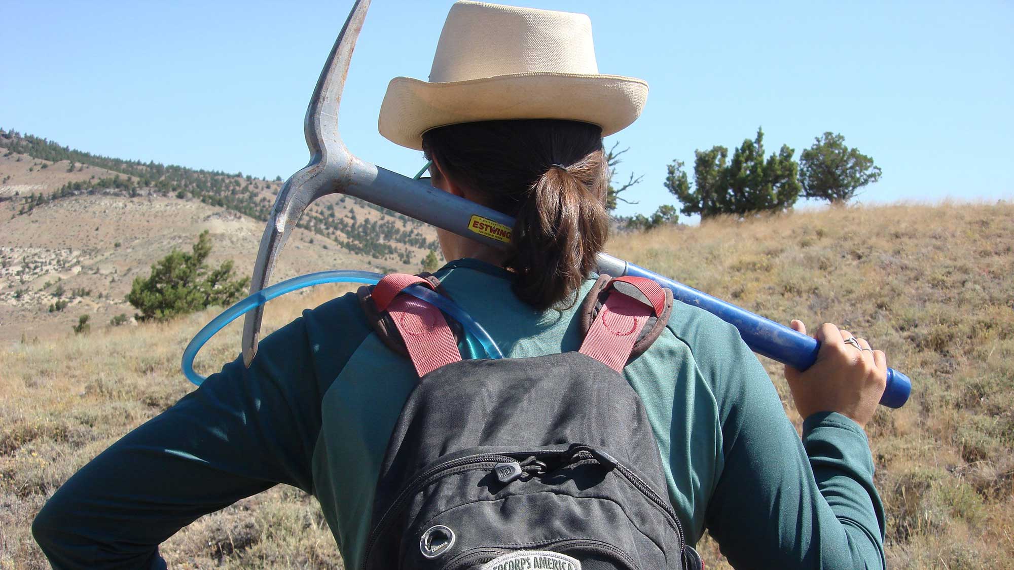
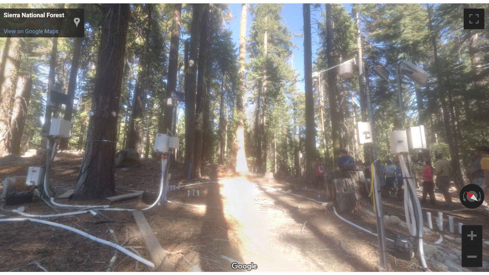
Why does this place look the way it does? Discovery through fieldwork can help to answer this fundamental question. Explore VFEs developed by PRI staff and others in this part of Earth@Home.
Virtual Collections
Explore curated collections of 3D photogrammetry models of fossil, mineral, and rock specimens.
K-12 Student and Teacher Web Projects
Projects created for Earth@Home by students and/or their teachers.