

What's New?
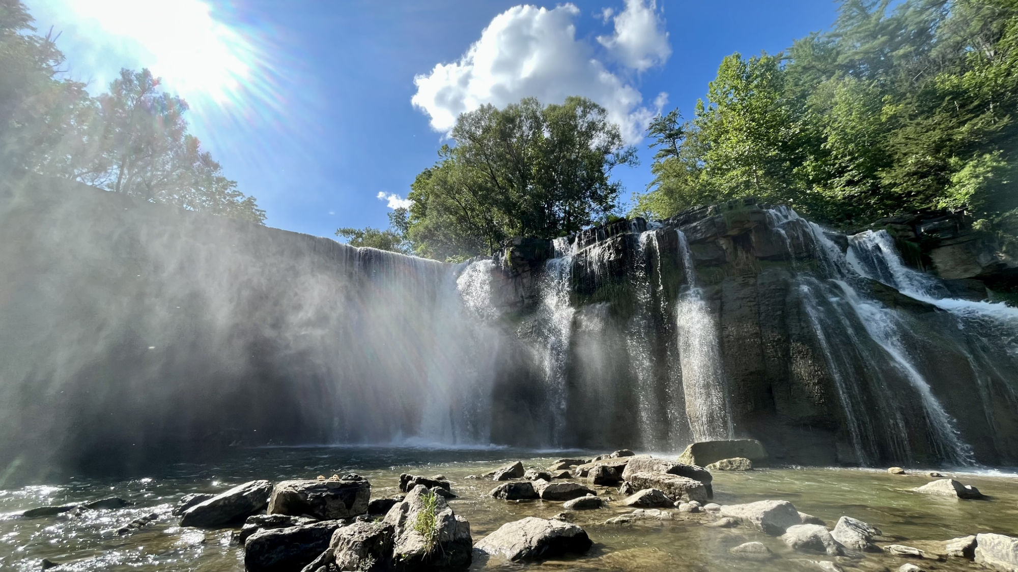
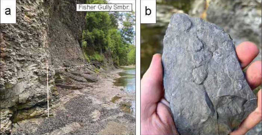
A Field Guide to the Geology and Paleontology of Salmon Creek
January 20, 2026
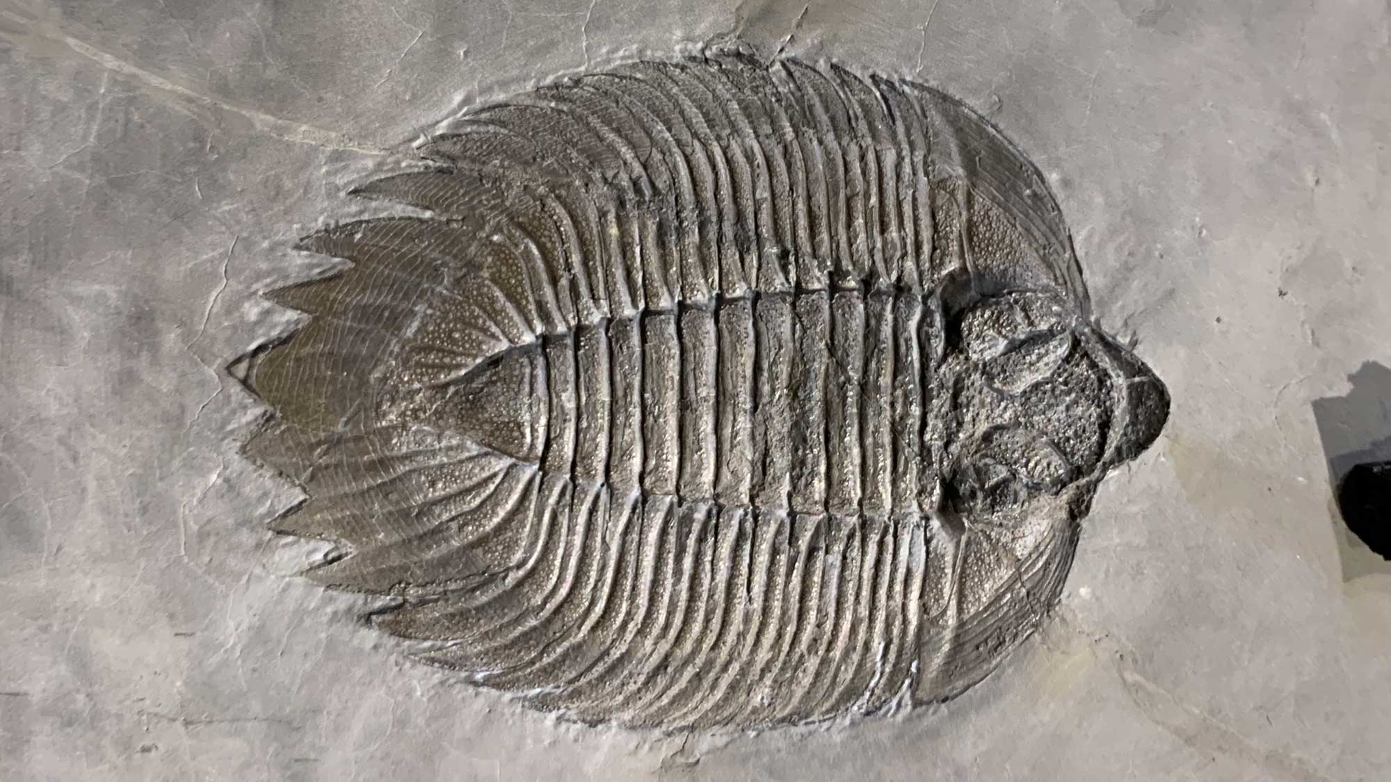
While Ithaca, New York is famous for its spectacular geology, well-preserved Paleozoic Era fossils are generally rare due to poor exposure of the Hamilton Group at the south end of Cayuga Lake where Cornell University is situated. Just 16 kilometers north of campus, a series of discontinuous exposures at Salmon Creek in Lansing provide excellent examples of classic Middle Devonian stratigraphy and paleontology. These are accessible by foot at low stream stage, especially during the summer and fall. This field guide reflects a cooperative effort to document these features for education and outreach as well as student research projects at Cornell University and the Paleontological Research Institution.
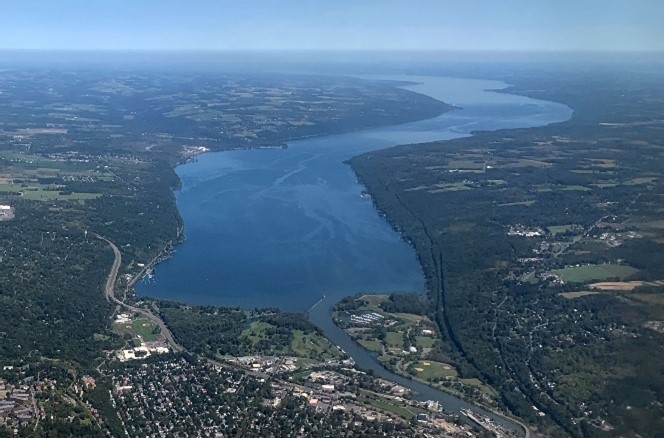
Teaching Module on Harmful Algal Blooms and the Cayuga Lake Watershed
November 12, 2025
A teaching module developed around the guiding question "Why are harmful algal blooms (HABs) happening and what can my family do so we can all get in the water again, including our pets?"
Stay tuned as we continue to add sections to this module.
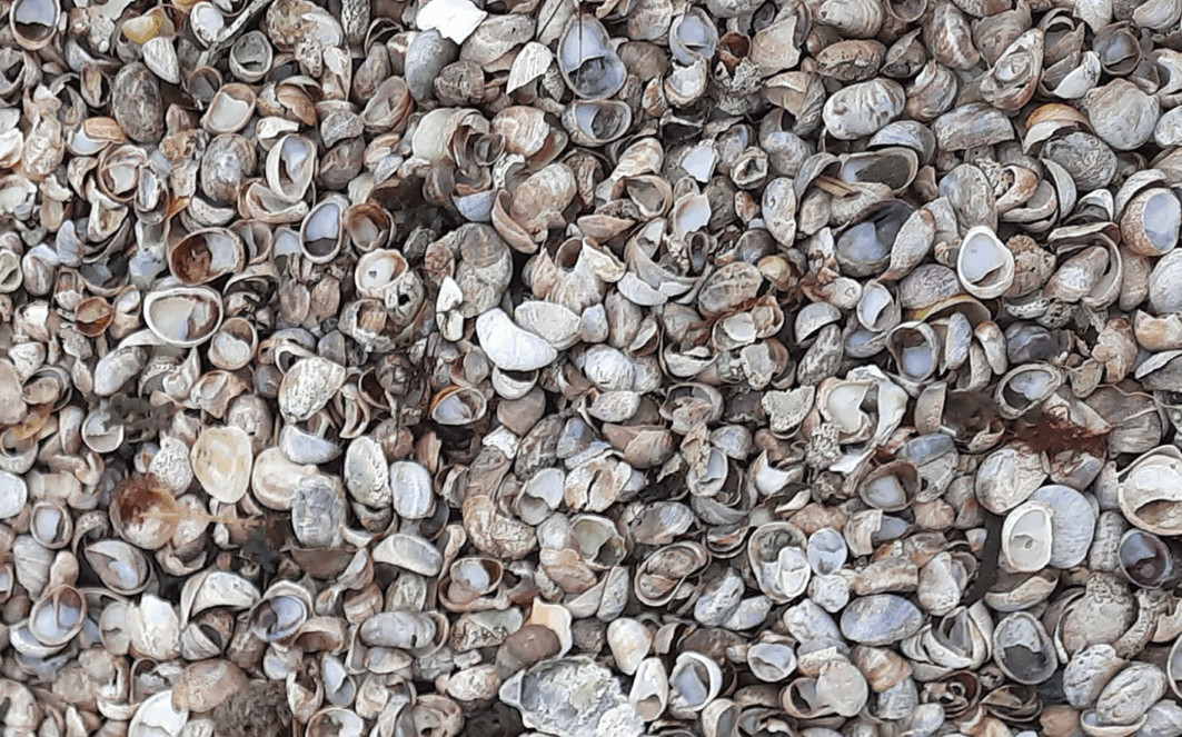
Marvelous Mollusks (online exhibit)
August 6, 2025
The newest special exhibit at the Museum of the Earth – “Marvelous Mollusks: the Secret World of Shells” – explores the amazing world of snails, clams, cephalopods, and their kin. The exhibit is based on the huge collections of the Paleontological Research Institution, which include more than 1 million modern and fossil mollusk specimens from around the world. Special content from Prof. Rebecca Rundell includes stories and stunning images of land snails on islands and information about Chittenango land snails.
Live-Dead Analysis in Conservation Paleobiology
February 12, 2025
Explore a new chapter on the Digital Encyclopedia of Ancient Life.
Updated climate data and projections for Central New York
February 10, 2025
Updated graphs with historical climate data and new video shorts on projections of future climate.
All-Star Fossils
Subscribe to PRI's YouTube channel for more fossil and Earth Science videos.
Popular pages
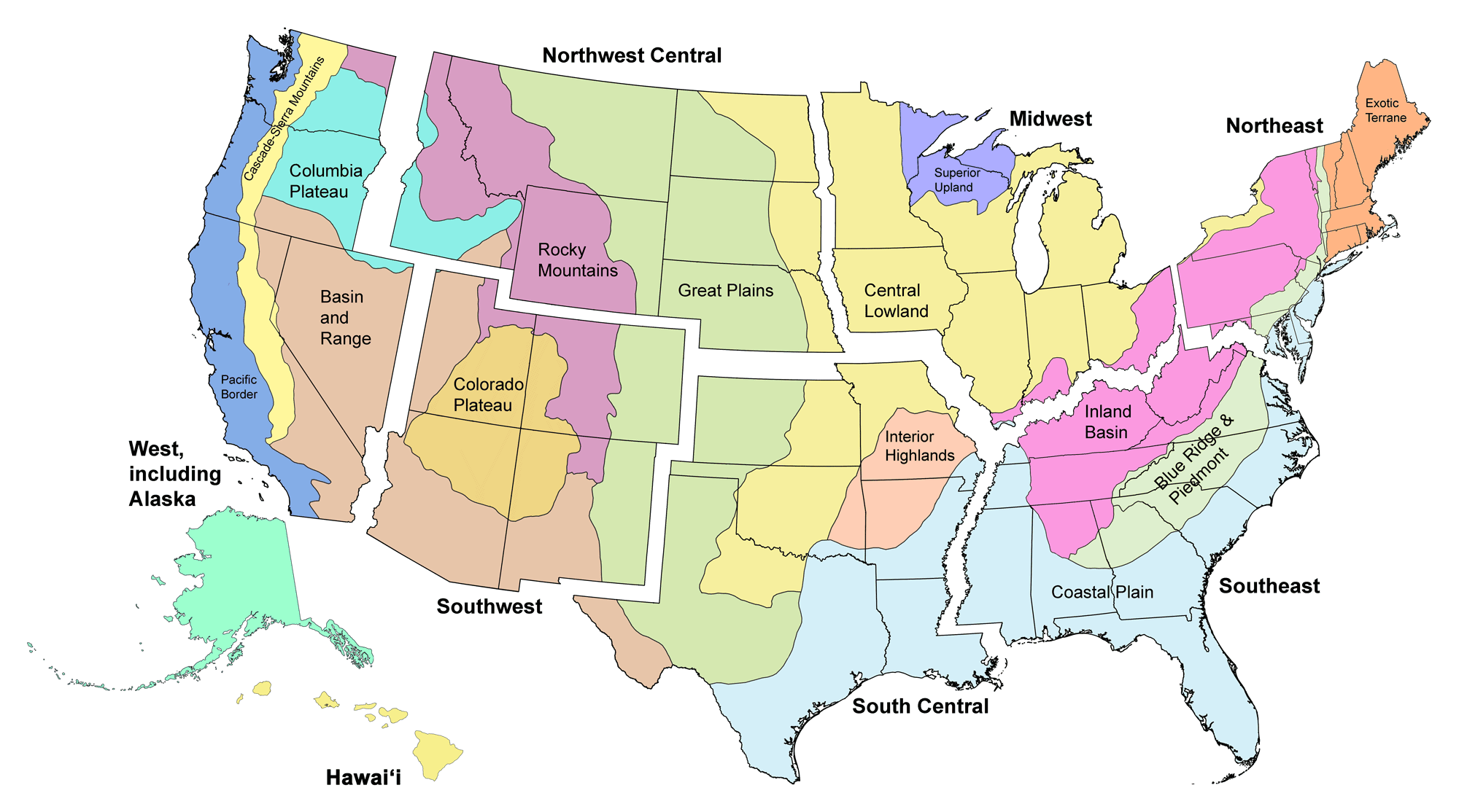
Here on Earth: Regional Guides to Earth Science
The goal of this part of the Earth@Home project is to explain the Earth science of every region of the United States and provide necessary background information. Each region is divided into physiographic provinces: regions that are naturally defined by their modern topography and geologic history. The map below shows the major physiographic regions of the contiguous United States that we are recognizing in Earth@Home.
Click on a region below to go to the corresponding section.
All regions of Here on Earth are now online!!
Digital Encyclopedia of Earth Science
Free, open-access Earth science textbook. Over the next several years, the Digital Encyclopedia of Earth Science will grow to cover most Earth science topics. Initial subjects covered include big ideas, minerals, fossils, climate, and climate change (links below). "Quick Introductions" provide brief overviews of that will be expanded upon in later Digital Encyclopedia chapters.
Newest chapter: Climate Change Mitigation by Dr. Ingrid Zabel.
Virtual Fieldwork Experiences (VFEs)
Background information about Virtual Fieldwork Experiences (VFEs), VFE catalog, and tips for creating your own VFEs.
Additional Resources
Earth@Home Science Road Trip
Follow Professor Gilbert D. Snail on his tour of the Earth science of the United States.
Earth@Home Workshops
Workshops about the resources on Earth@Home tailored to each major region of the United States.
Fossils of the United States
Find out about the fossils that have been found near the place where you live.
U.S. Earth Science Quick Facts
Find out about the official state fossils, rocks, minerals, gems, and highest and lowest elevation of each state in the U.S.
Geologic Time Scale
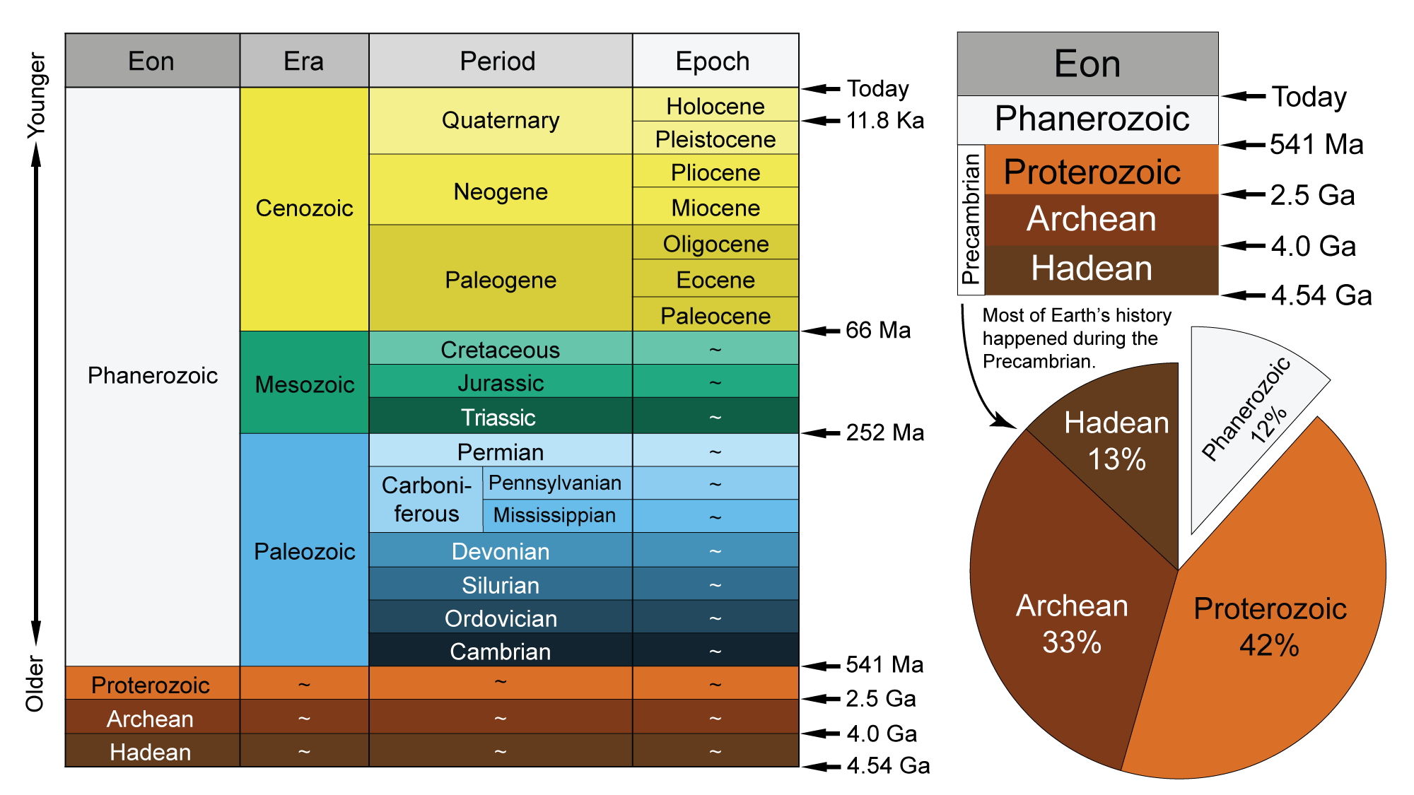
The geologic time scale, including major Earth and life history events.
Geologic and Topographic Maps
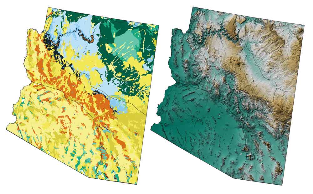
Geologic and topographic maps of each U.S. state that are free to use for educational purposes (under development).