

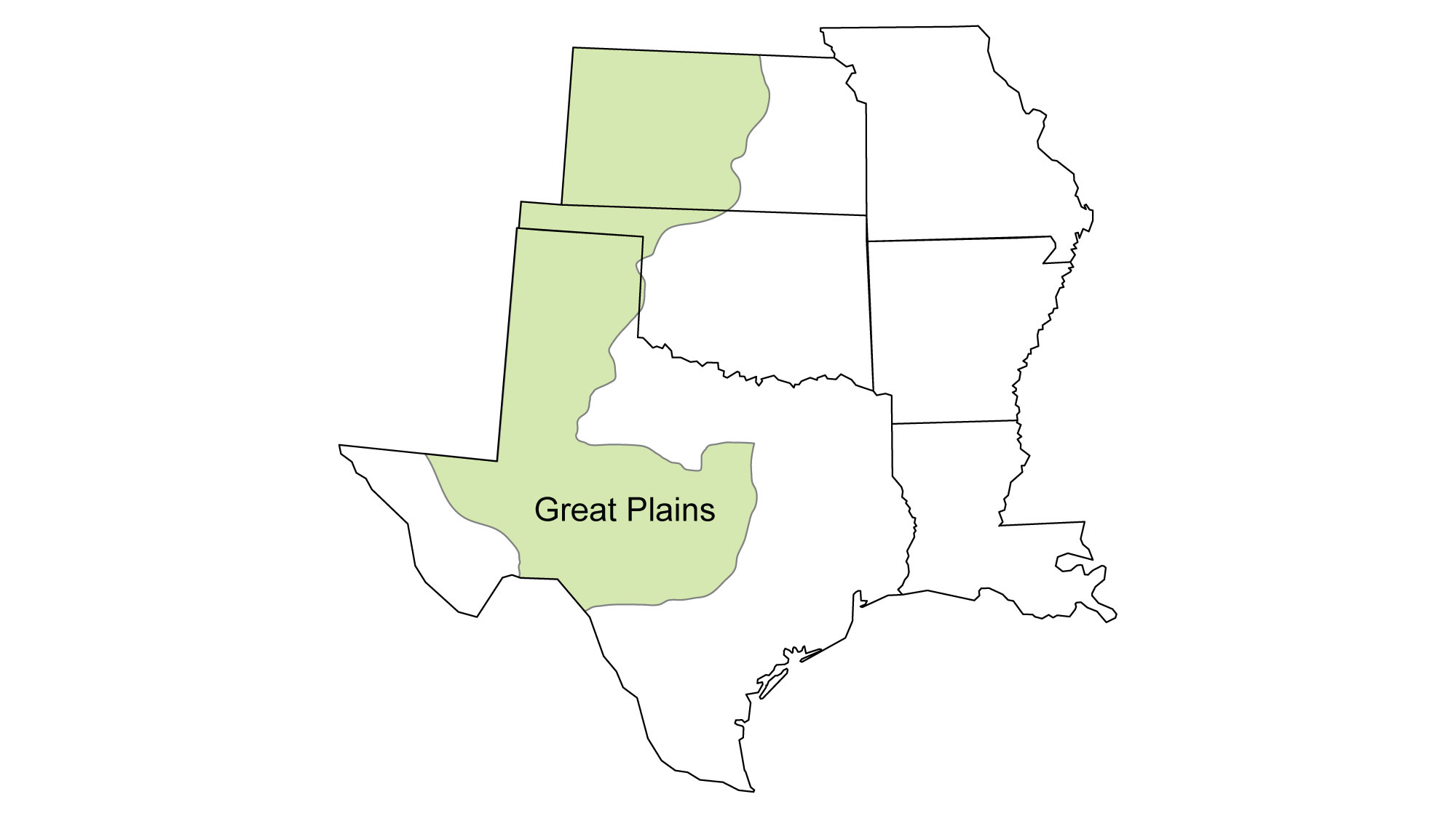
Snapshot: Overview of the mineral resources of the Great Plains region of the South-Central United States, including portions of Kansas, Oklahoma, and Texas.
Topics covered on this page: Overview; Sediments; Caliche; Volcanic Ash; Potash; Other Resources; Resources (references and further reading about minerals).
Credits: Most of the text of this page is derived from "Mineral resources of the South Central US" by Allen Macfarlane, chapter 5 in The Teacher-Friendly Guide to the Earth Science of the South-Central U.S., edited by Mark D. Lucas, Robert M. Ross, and Andrielle N. Swaby (published in 2015 by the Paleontological Research Institution). The book was adapted for the web by Elizabeth J. Hermsen and Jonathan R. Hendricks in 2021–2022. Changes include formatting and revisions to the text and images. Credits for individual images are given in figure captions.
Updates: Page last updated February 13, 2022.
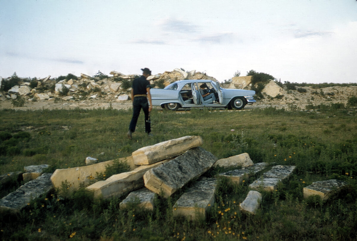
Image above: Photograph from 1961 of an old fence-post limestone quarry in Ness County, Kansas. Photograph by Grace Muilenburg/KGS. The source of this material is the Kansas Geological Survey website at https://www.kgs.ku.edu/. All Rights Reserved.
Overview
The near-surface geology and mineral resources of the Great Plains region result from a complex suite of factors.
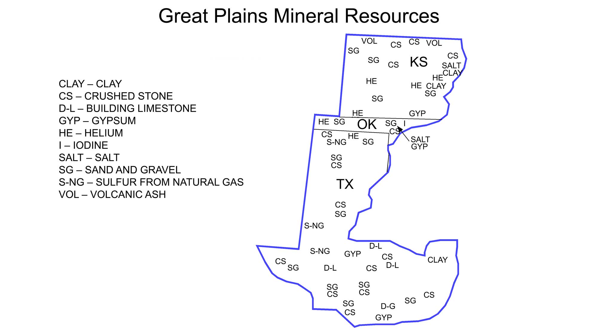
Principal mineral resources of the Great Plains. Image adapted from USGS 2009 State Minerals Yearbook (public domain).
Marine and terrestrial Cretaceous deposits indicate that several periods of sea level rise and fall were associated with the expansion and contraction of the Western Interior Seaway, which extended from what is now western Illinois to central Utah. Deposition ended with the final retreat of the sea and the uplift of the Rocky Mountains. Uplift in Colorado and New Mexico was renewed in the Miocene and Pliocene, gently tilting the underlying strata eastward. This tilting is more pronounced in the Texas panhandle than it is in western Kansas. Mountain streams transported and deposited large volumes of eroded sediment onto the plains, resulting in a thick blanket of sand, gravel, silt, and clay on top of eroded Mesozoic and Permian strata throughout the region.
Sediments
The sands and gravels in the Great Plains are rich in quartz and feldspar from the weathering and erosion of igneous and metamorphic rocks in the Rocky Mountains to the west. Sand, gravel, limestone, and other construction materials are mined throughout the Great Plains, and building stone is quarried from rocks near the Llano Uplift in central Texas.
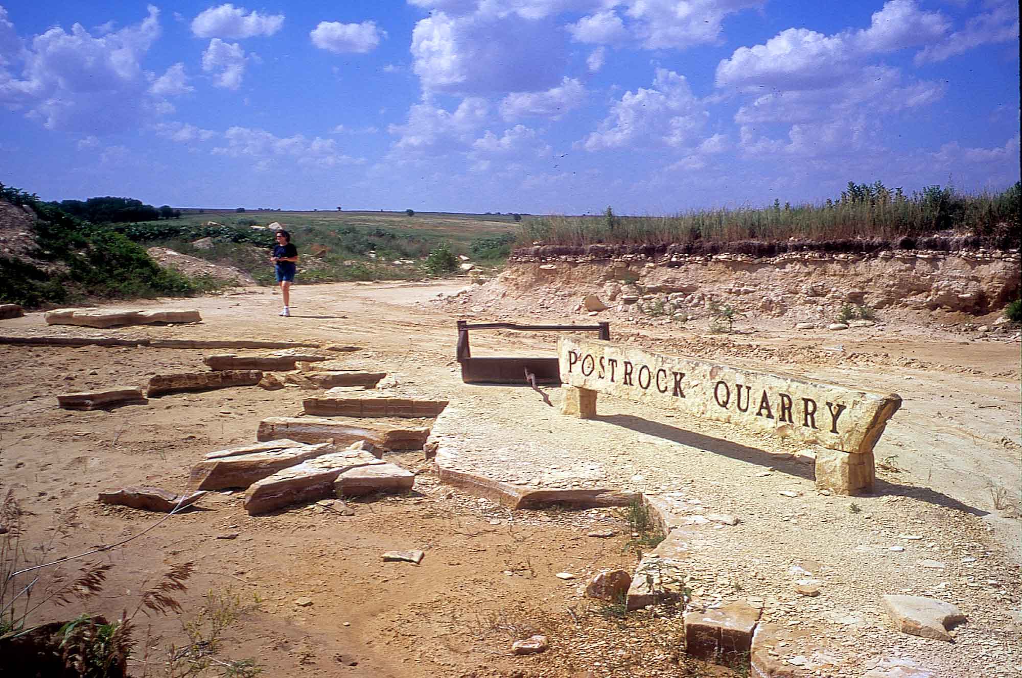
The Cretaceous-aged Greenhorn Limestone in western Kansas once provided material for building fence posts when wood was not available. This "fence post" or "post rock" was also used in the region for the construction of buildings (learn more here).
The Vonada Stone Co. post rock quarry in Lincoln County, Kansas. Photograph by John Charlton/KGS. The source of this material is the Kansas Geological Survey website at https://www.kgs.ku.edu/. All Rights Reserved.
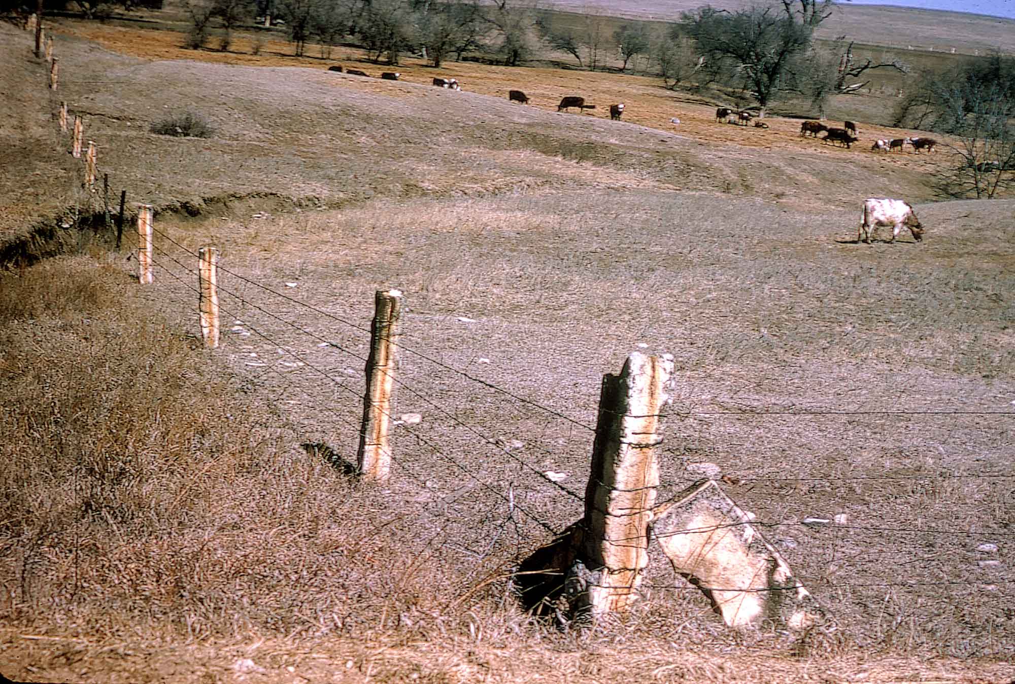
Limestone fence posts in Mitchell County, Kansas (June 1966). Photograph by Grace Muilenburg/KGS. The source of this material is the Kansas Geological Survey website at https://www.kgs.ku.edu/. All Rights Reserved.
Caliche
Cyclical changes in climate during the Quaternary and Holocene initiated episodes of stream erosion, uncovering underlying Permian rocks containing layers of halite and gypsum. In and near river valleys, the movement of groundwater dissolved these soluble minerals, further accelerating the pace of erosion. Sediments were carried and deposited by the wind during drought periods and by streams during wet periods, leading to the development of soil horizons rich in deposits of caliche, a type of calcium carbonate cement.
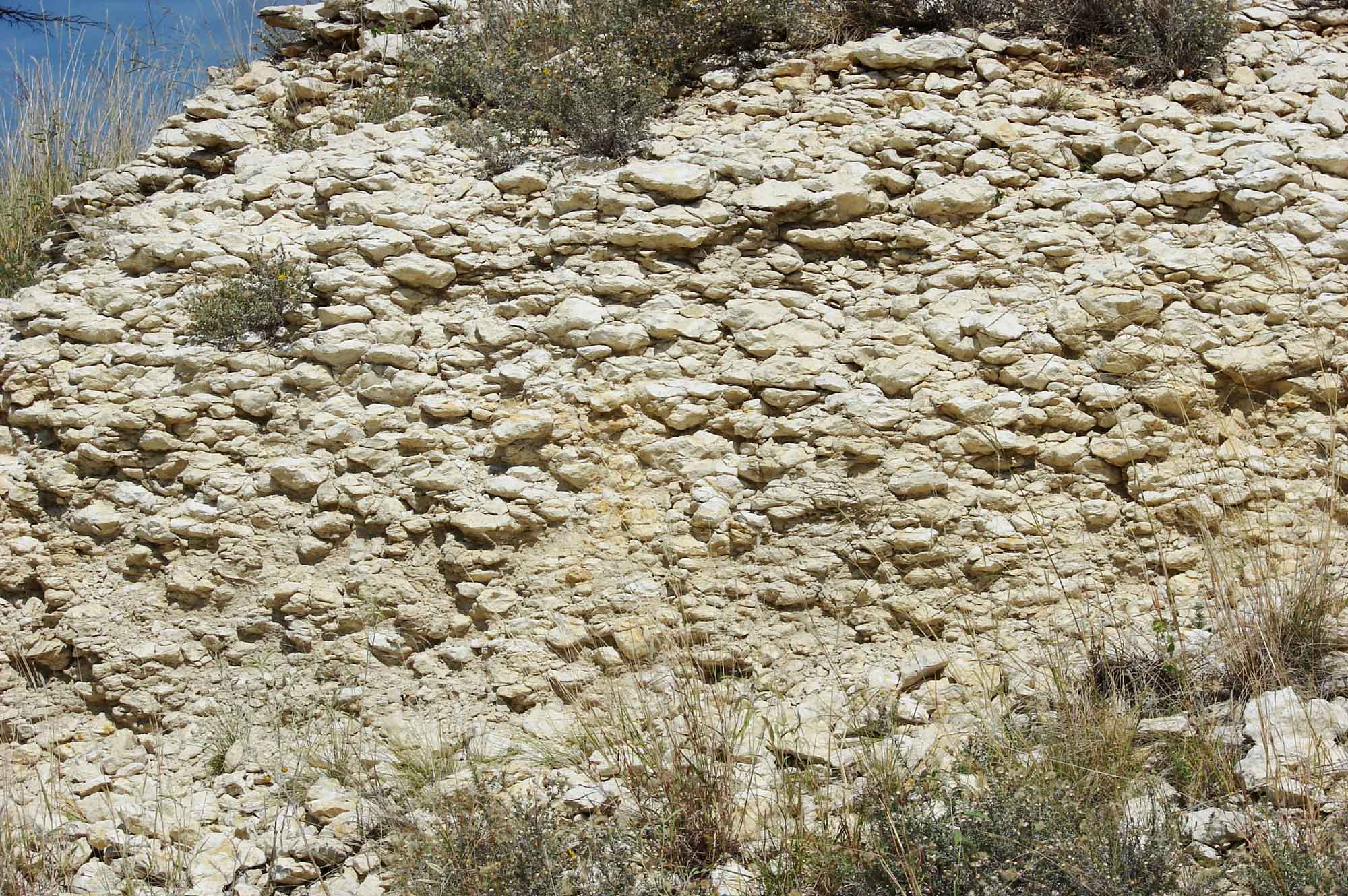
A shelf of caliche in central Texas. Photograph by David R. Tribble (Wikimedia Commons; Creative Commons Attribution-ShareAlike 3.0 Unported license).
Caliche forms when water infiltrates the soil, dissolves soluble material, and evaporates, leaving behind precipitated minerals in the pore space between soil grains. A zone of cemented material forms within the soil if this happens repeatedly. Layers of caliche accumulate to tens of feet in some locations, and multiple layers are commonly found throughout the Great Plains. Caliche is commonly collected for use as an additive in cement.
Volcanic Ash
Beginning in the Miocene, episodes of volcanism in the Western and Southwestern US produced widespread ashfalls that covered much of the Great Plains. Deposits of silicate volcanic ash, as well as sands and gravels derived from the erosion of basaltic lavas, are present in the sediments at many locations in the Great Plains, such as the Pearlette Ash Bed in Kansas. This volcanic ash was mined between the 1930s and 1950s for use in concrete, abrasives, and as a cleaning material.
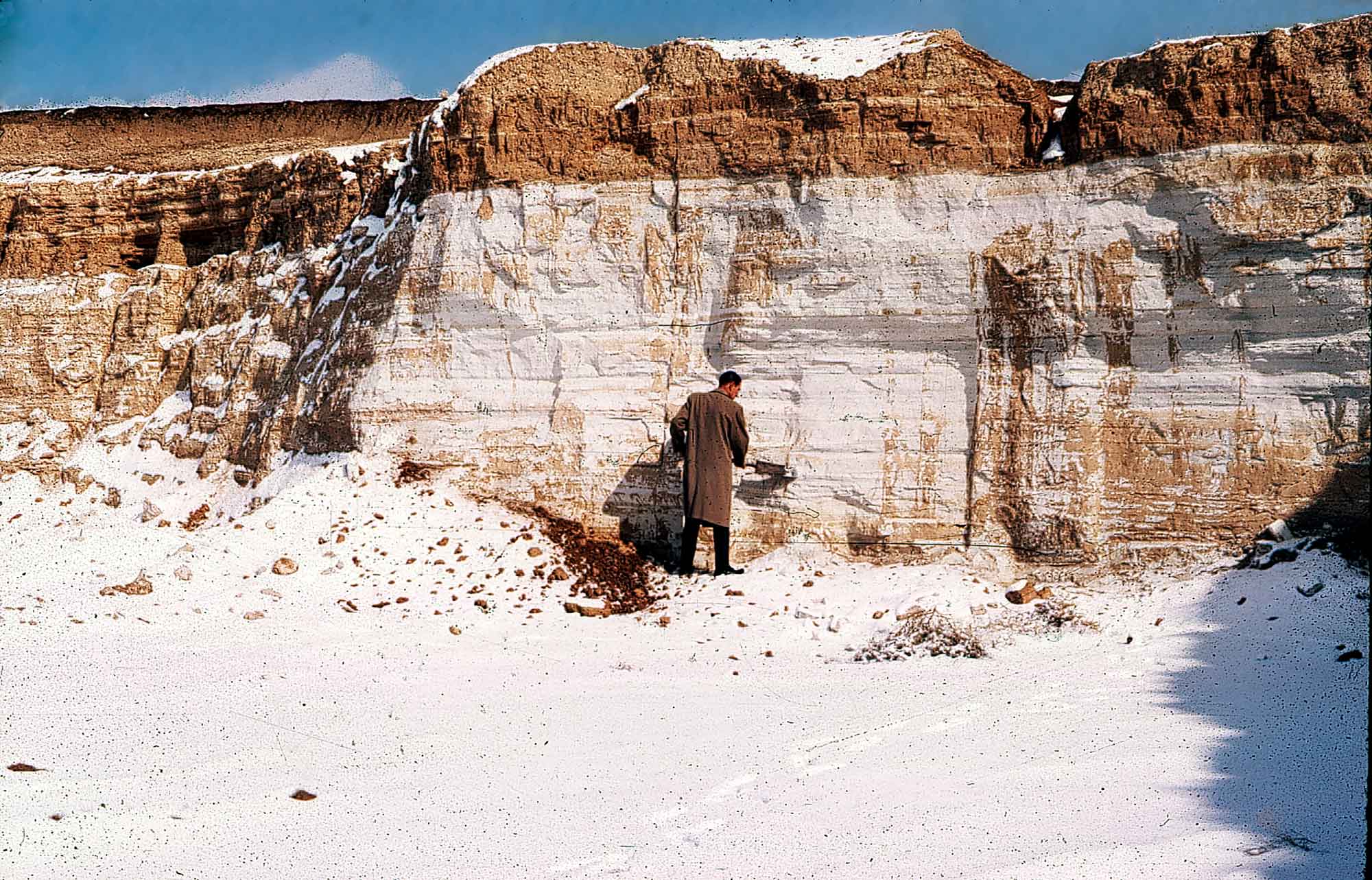
A deposit of Pearlette Ash in Comanche County, Kansas. Photograph by Grace Muilenburg/KGS. The source of this material is the Kansas Geological Survey website at https://www.kgs.ku.edu/. All Rights Reserved.
Potash
Potash is mined commercially from Permian deposits in west Texas. Potash is a name used for a variety of salts containing potassium, with mined potash being primarily potassium chloride. The majority of potash is used as fertilizer, but an increasing amount is being used in a variety of other ways: water softening, snow melting, a variety of industrial processes, as a medicine, and to produce potassium carbonate.
Other resources
Widespread fossil fuel resources in the Great Plains have led to the recovery of several associated elements that are often found alongside gas and oil. Oklahoma is the nation’s sole producer of iodine, extracted from deeply buried gas brines that occur in the Woodward Trench in northwest Oklahoma. Helium and sulfur are recovered from the Hugoton Gas Field in southwestern Kansas and the panhandles of Oklahoma and Texas. This area contains the largest reserve of helium in the United States; helium collected here is piped to the National Helium Reserve in Amarillo, Texas, for safekeeping and storage.
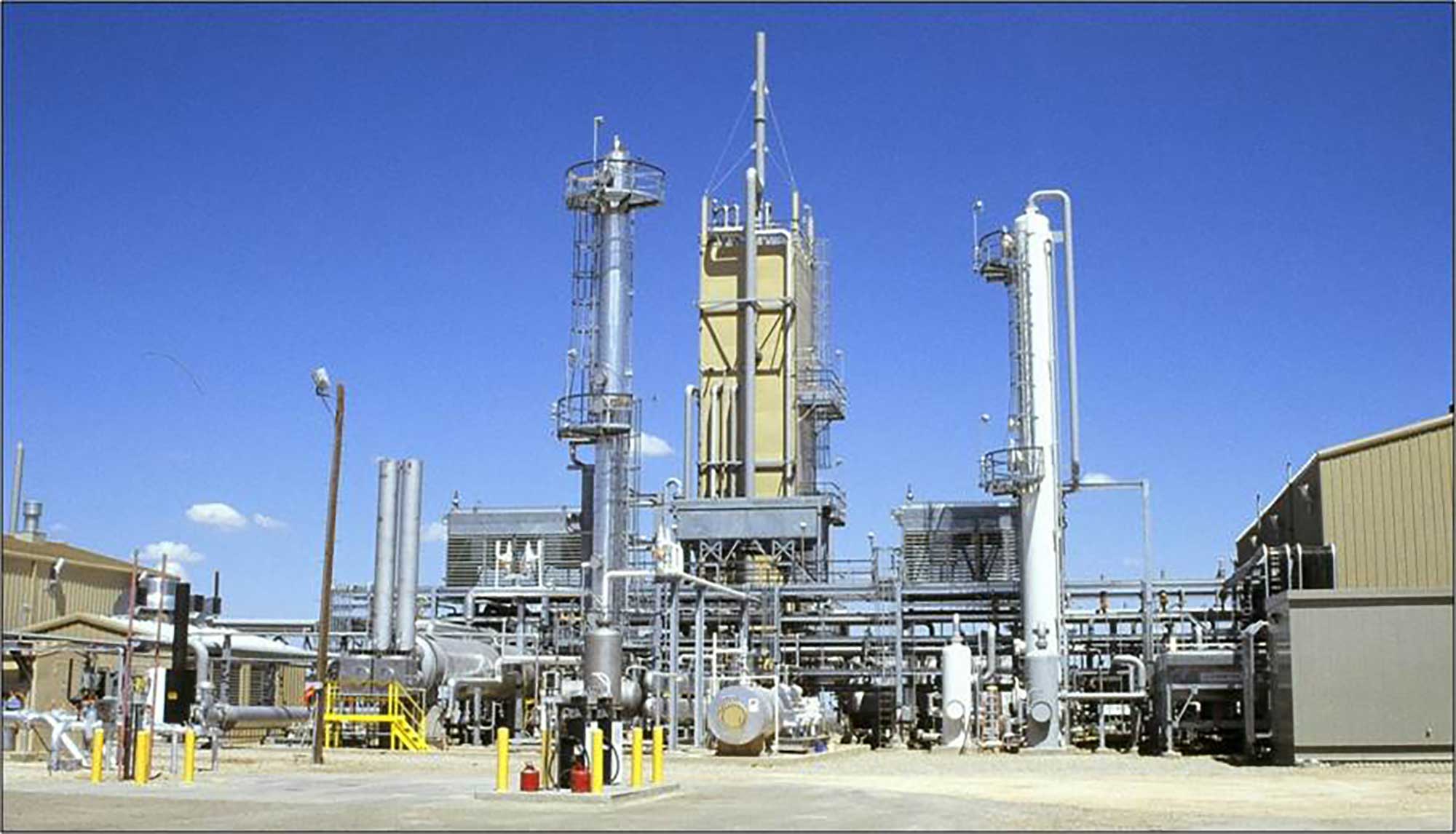
The Crude Helium Enrichment Unit located in the Cliffside Gas Field outside Amarillo, Texas. Photograph by the Bureau of Land Management (Flickr; Creative Commons Attribution 2.0 Generic license).
Resources
Resources from the Paleontological Research Institution
Digital Atlas of Ancient Life: Minerals (collection of 3D models on Sketchfab): https://skfb.ly/6WxTo
Digital Encyclopedia of Earth Science: Minerals: https://earthathome.org/de/minerals/