Page snapshot: Louisiana State Geologic Map; Fossil; Rock; Mineral; Gem; Highest and Lowest Elevations; Places to Visit; and Additional Resources.
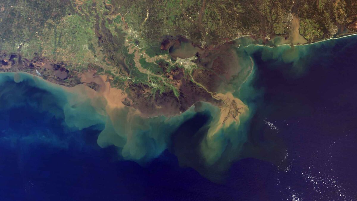
Image above: Satellite image of the Mississippi River Delta, Louisiana. Image by NASA (Wikimedia Commons; public domain).
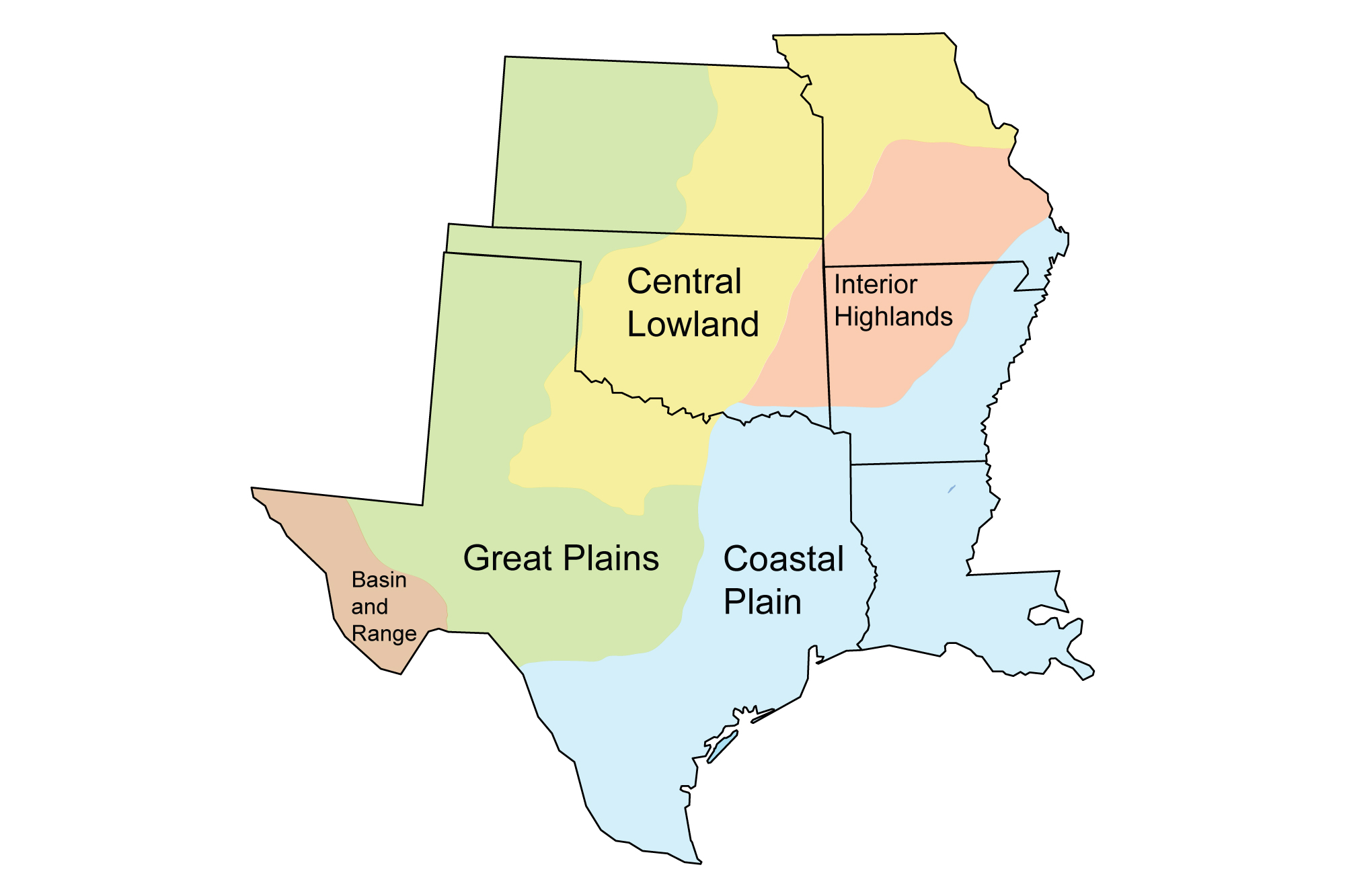
Geologic Map of Louisiana
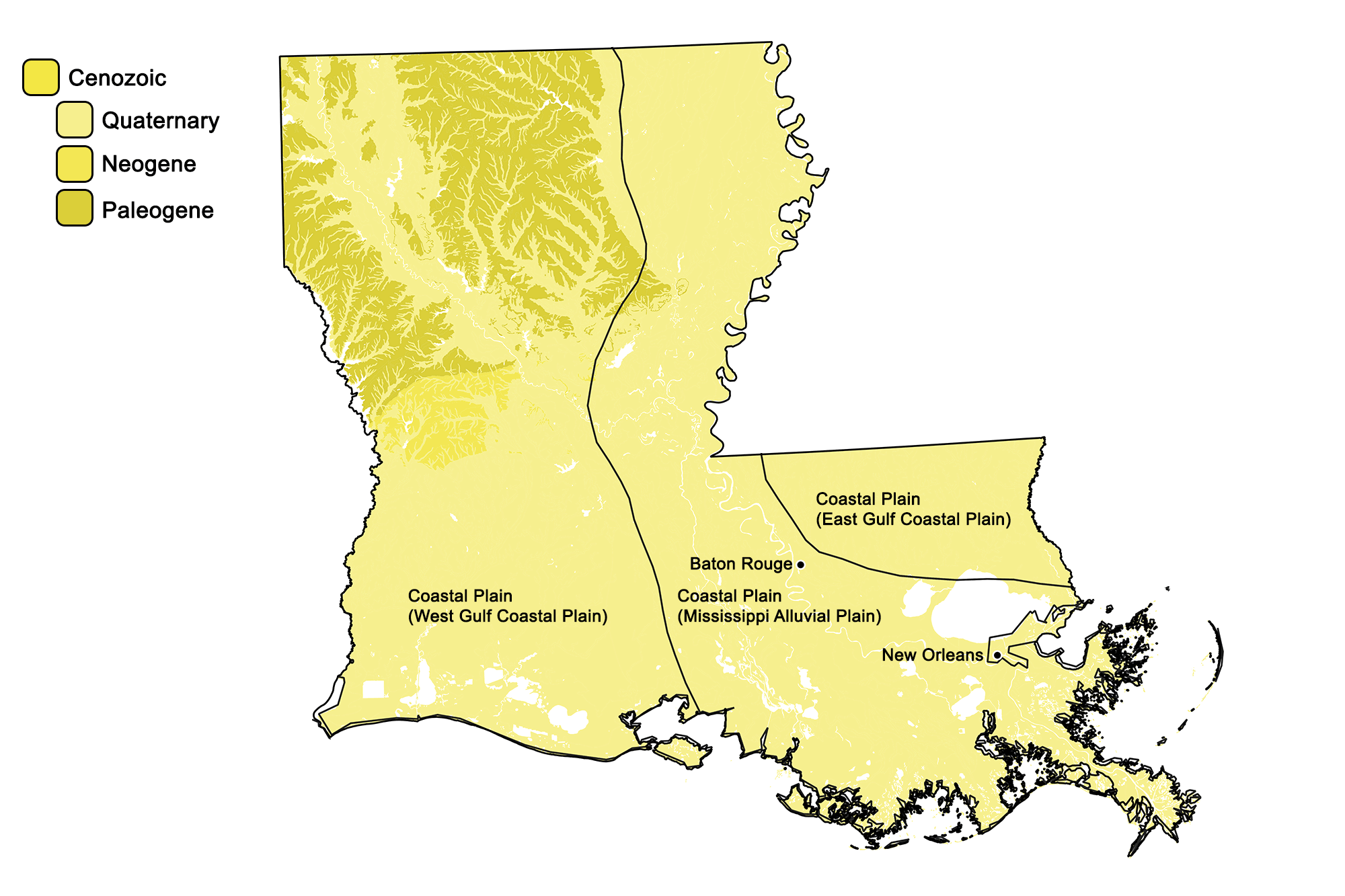
Geologic map of Louisiana showing maximum ages of mappable units. Image by Jonathan R. Hendricks for the Earth@Home project developed using QGIS and USGS data (public domain) from Fenneman and Johnson (1946) and Horton et al. (2017).
Louisiana State Fossil: Palmoxylon
The state fossil of Louisiana is Oligocene Palmoxylon, a palm.
Louisiana State Rock: None
Louisiana does not have an official state rock. What do you think it should be? Answer in the comments below!
Louisiana State Mineral: Agate
Agate found in Louisiana today was originally formed in the limestones of the central U.S., where it precipitated from silica-rich liquids. After erosion released it from its original bedrock, the banded stone was carried into the state by ancient rivers.
Louisiana State Gem: Eastern Oyster Shell
The designated state “gem” is eastern oyster shell.
Louisiana's Highest and Lowest Elevations
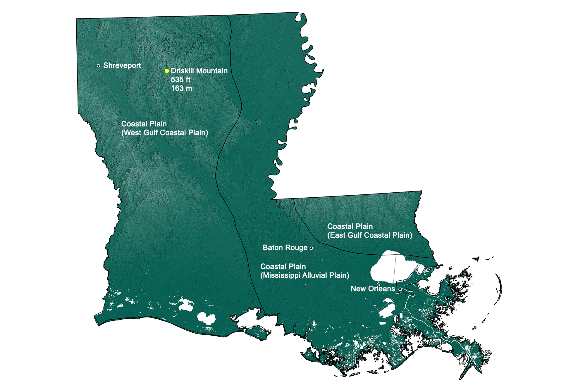
Topographic map of Louisiana; dark greens indicate lower elevation, lighter greens higher elevation. Topographic data derived from the Shuttle Radar Topography Mission (SRTM GL3) Global 90m (SRTM_GL3) (Farr, T. G., and M. Kobrick, 2000, Shuttle Radar Topography Mission produces a wealth of data. Eos Trans. AGU, 81:583-583.). Image created by Jonathan R. Hendricks for the Earth@Home project.
Highest Elevation: Driskill Mountain
At an elevation of 163 meters (535 feet), Driskill Mountain might more properly be called a hill. This landform, located in north central Louisiana, was shaped by the erosion of unconsolidated Paleogene sediments.
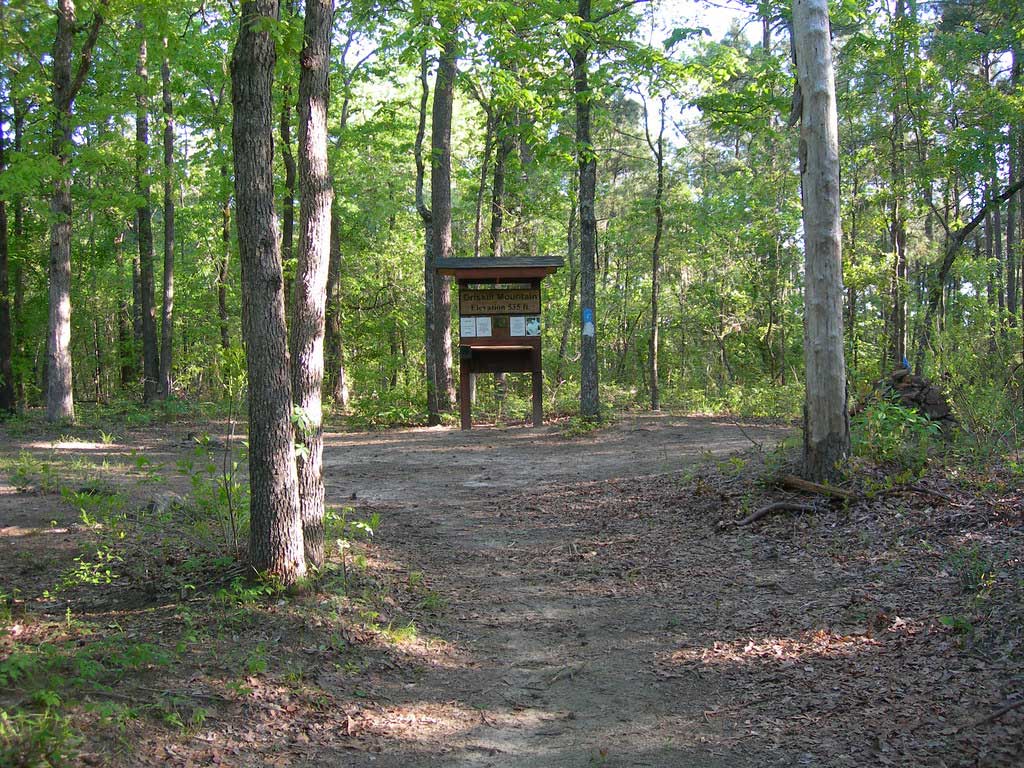
The summit of Driskill Mountain, Louisiana. Photograph by Jimmy Emerson (Flickr; Creative Commons Attribution-NonCommercial-NoDerivs 2.0 Generic license).
Lowest Elevation: New Orleans
The state’s lowest point lies within the city of New Orleans, at 2 meters (6.5 feet) below sea level—a series of levees protect the city from being submerged.
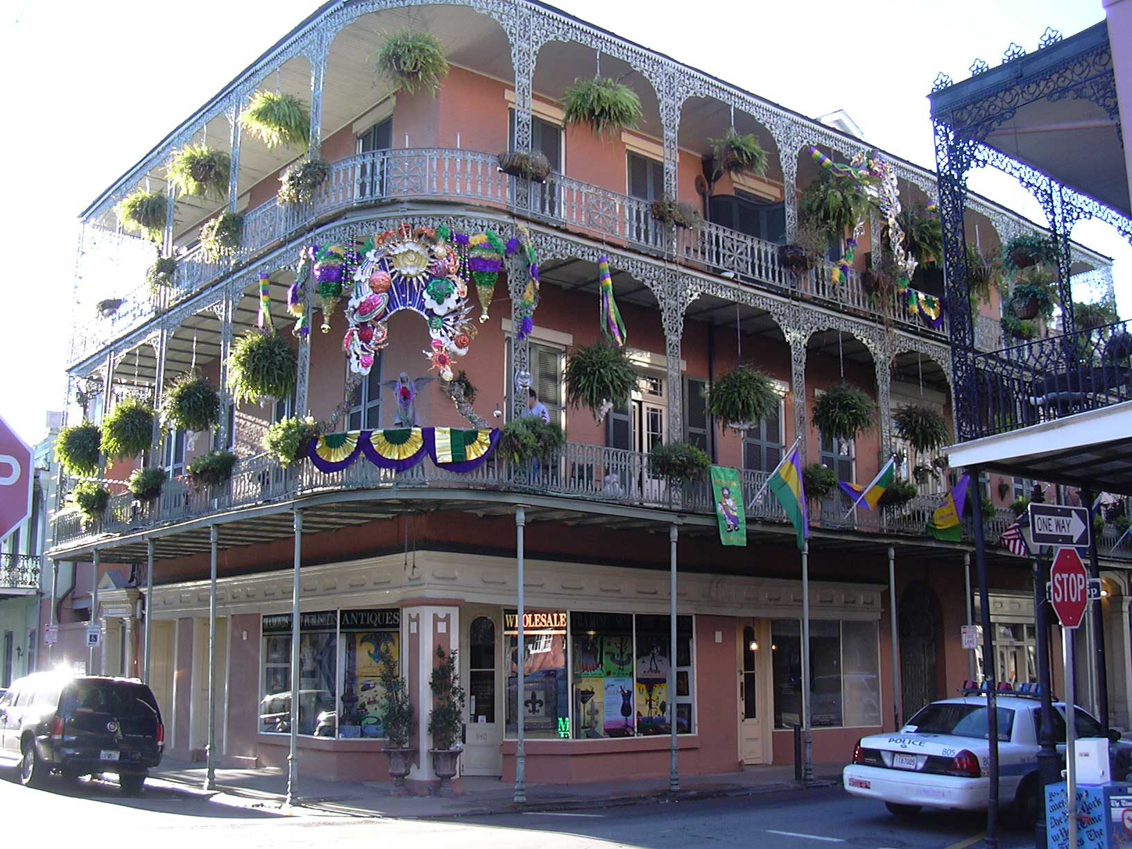
Bourbon Street in New Orleans, Louisiana. Photograph by Wilfried Vogel (Flickr; Creative Commons Attribution-NonCommercial-ShareAlike 2.0 Generic license; image resized).
Additional resources