Page snapshot: North Carolina Geologic Map; Fossil; Rock; Mineral; Gem; Highest and Lowest Elevations; Places to Visit; and Additional Resources.
Image above: Sunrise from the top of Mount Mitchell, the highest point in North Carolina. Photograph by Katie Wheeler (Flickr; Creative Commons Attribution-NonCommercial 2.0 Generic license; image cropped and resized).
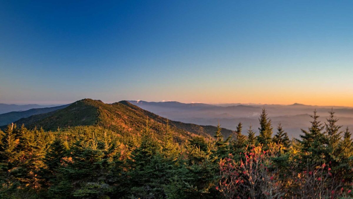
Geologic Map of North Carolina
Geologic map of North Carolina showing maximum ages of mappable units. Image by Jonathan R. Hendricks for the Earth@Home project developed using QGIS and USGS data (public domain) from Fenneman and Johnson (1946) and Horton et al. (2017).
North Carolina State Fossil: Otodus megalodon
The state fossil of North Carolina is Otodus megalodon, the famous, huge "Megalodon" shark that may have reached up to 59 ft (18 m) in length. For comparison, the modern great white shark (Charcharodon charcharias) reaches a size of about 20 ft (6 m). Otodus megalodon lived during the Neogene Period and went extinct sometime in the Pliocene Epoch. It likely fed on large animals, including whales.
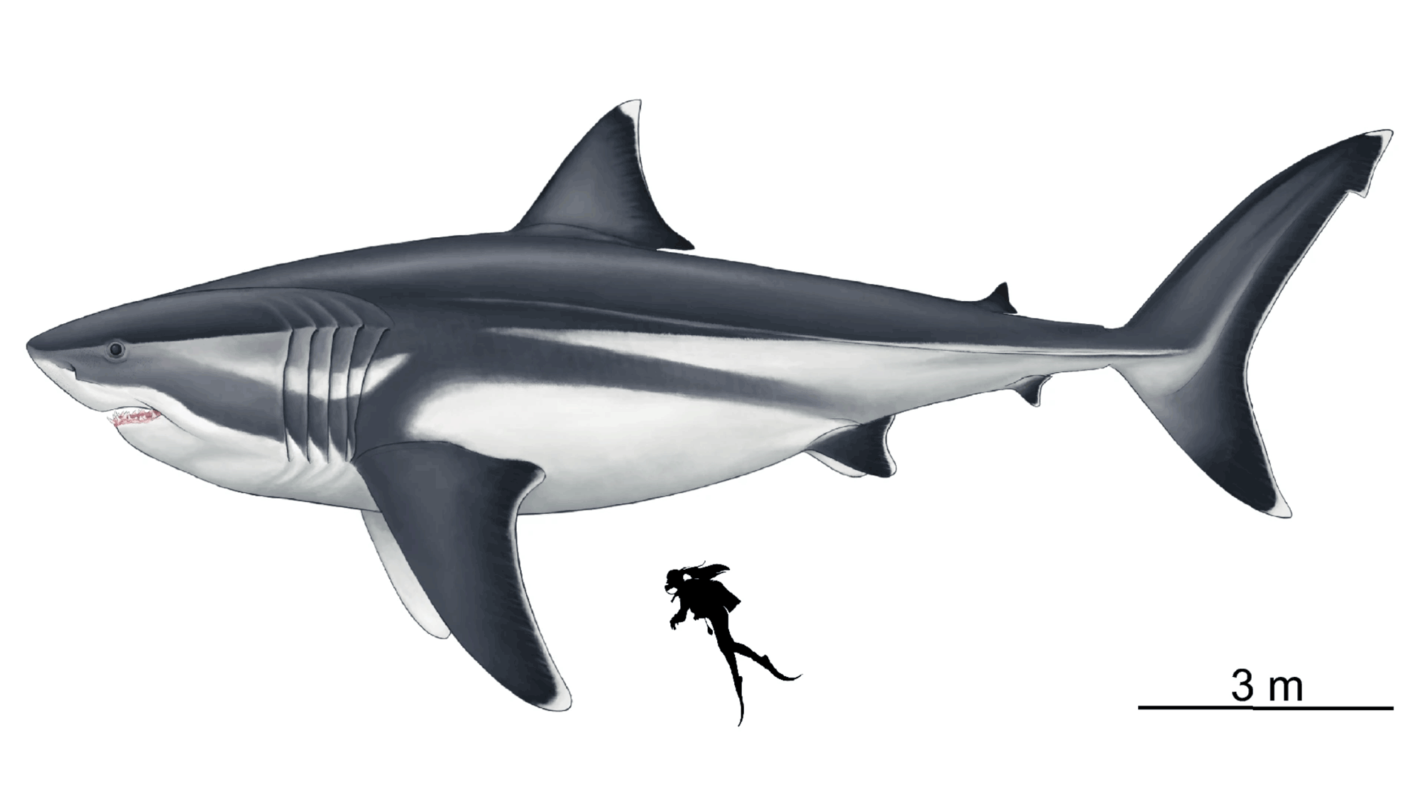
Reconstruction of Otodus megalodon by Oliver E. Demuth. Image published in Cooper et al. (2020) in Scientific Reports 10: 14596.(Creative Commons Attribution 4.0 International license; image cropped and resized).
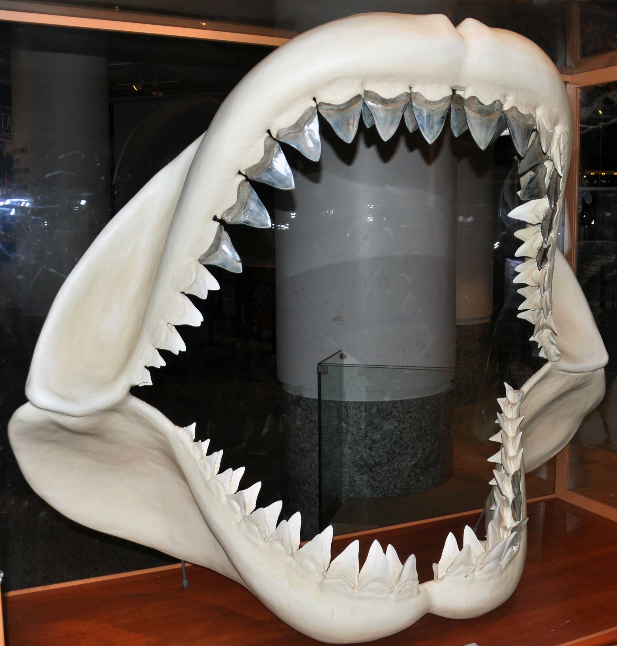
Reconstructed jaws of Otodus megalodon on display at the North Carolina Museum of Natural Sciences. The dark colored teeth are real fossils from North Carolina; the white teeth are artificial reproductions. Photograph by James St. John (Flickr; Creative Commons Attribution 2.0 Generic license).
North Carolina State Rock: Granite
North Carolina contains abundant quantities of this igneous rock, which is mined for a number of construction purposes. The state is home to the world’s largest open-faced granite quarry, near Mt. Airy in Surry County.
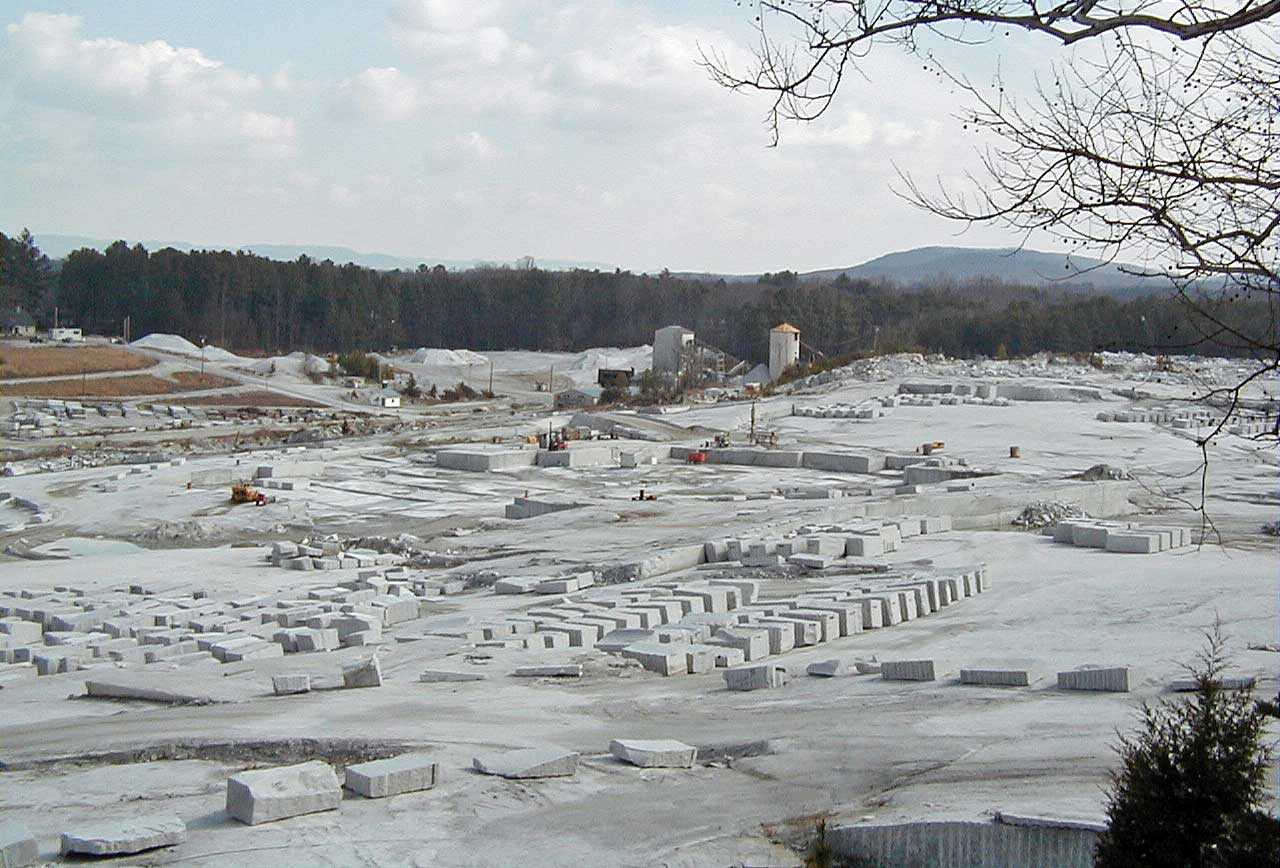
Granite quarry near Mt. Airy, North Carolina. Photograph by James St. John (Flickr; Creative Commons Attribution 2.0 Generic license).
North Carolina State Mineral: Gold
The North Carolina gold rush began in 1799 when an 8-kilogram (17-pound) nugget was found by a boy named Conrad Reed. A gold mining operation subsequently began on the Reed property that operated until 1912. The Reed Gold Mine is now a National Historic Landmark.
"Historic Site Spotlight: Reed Gold Mine" by N.C. Department of Natural and Cultural Resources (YouTube).
The state’s gold deposits formed hydrothermally during the process of mountain building, when pressurized fluids and gases were ejected from magma and interacted with heated water to deposit gold.
North Carolina State Gem: Emerald
Emerald is a variety of beryl, valued for its green hue. The largest emerald ever found in North America was found in Statesville, North Carolina in 2003 and weighed 310 carats (62 grams [2 ounces]).
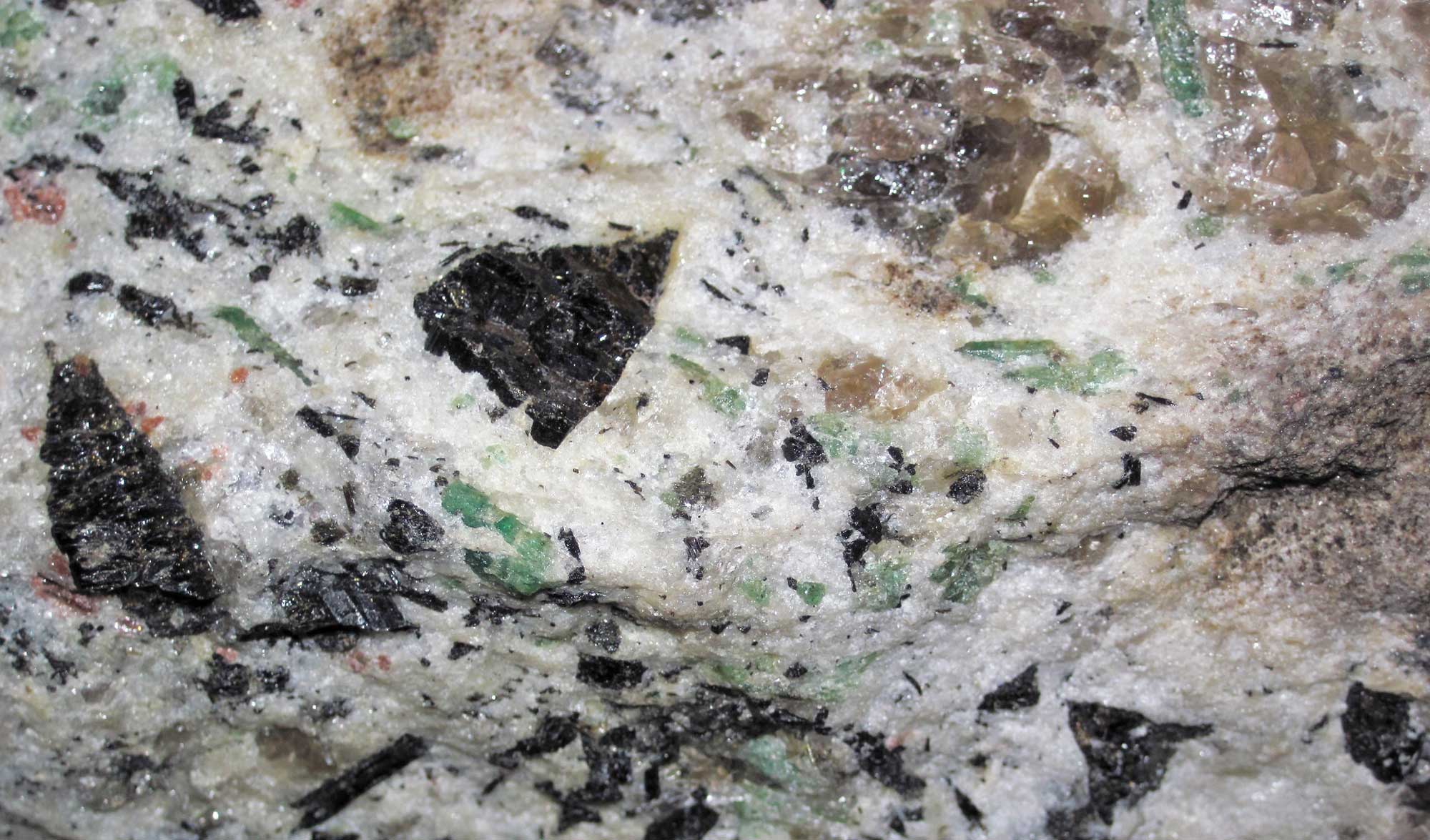
The rock shown here is from North Carolina's famous Crabtree Pegmatite, which produces emeralds (= green specks). In this shot, the elongated and subtriangular, black crystals are schorl tourmaline (a complex silicate), the pinkish-reddish crystals are garnet, the medium brownish-gray, glassy material is quartz (SiO2 - silica), and the whitish-gray is feldspar. Photograph by James St. John (Flickr; Creative Commons Attribution 2.0 Generic license).
North Carolina's Highest and Lowest Elevations
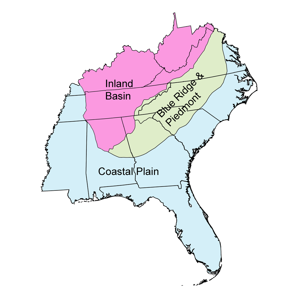
Highest Elevation: Mt. Mitchell
At 2037 meters (6684 feet) in elevation, Mt. Mitchell is the highest peak in North Carolina as well the tallest mountain in mainland eastern North America. Mt. Mitchell is part of the Black Mountain subrange of the Appalachians, and is located about 31 kilometers (19 miles) northeast of Asheville. The mountain is named for professor Elisha Mitchell, who first explored the Black Mountains in 1835, and fell to his death at nearby Mitchell Falls when he returned in 1857 to verify his measurements.
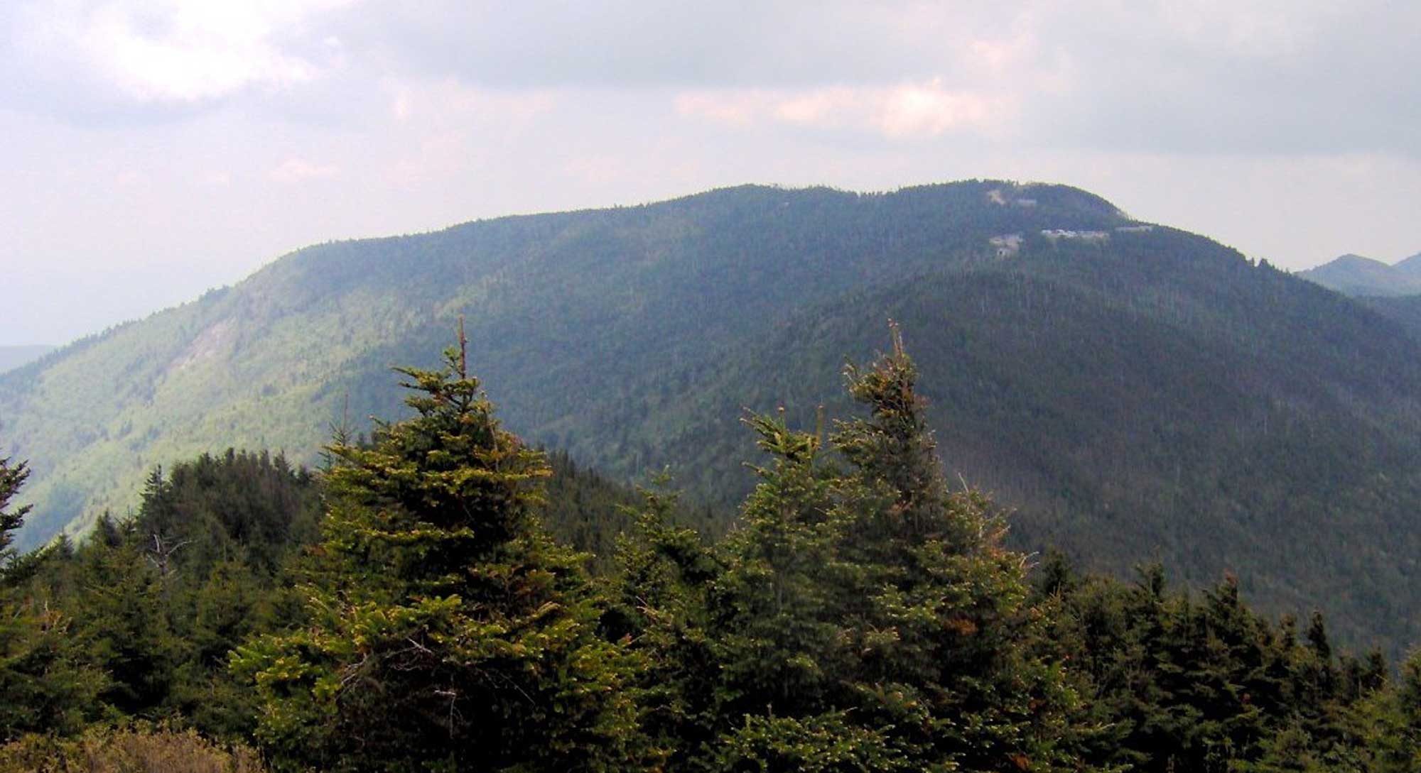
Mount Mitchell, North Carolina the tallest mountain east of the Mississippi River and part of the Black Mountain range of the Blue Ridge. Photograph taken by Brian Stansberry from Mount Craig (Wikimedia Commons; Creative Commons Attribution 3.0 Unported license; image resized from original).
Lowest Elevation: Atlantic Coast
North Carolina's lowest points are along its coastline, where the shore is at sea level.
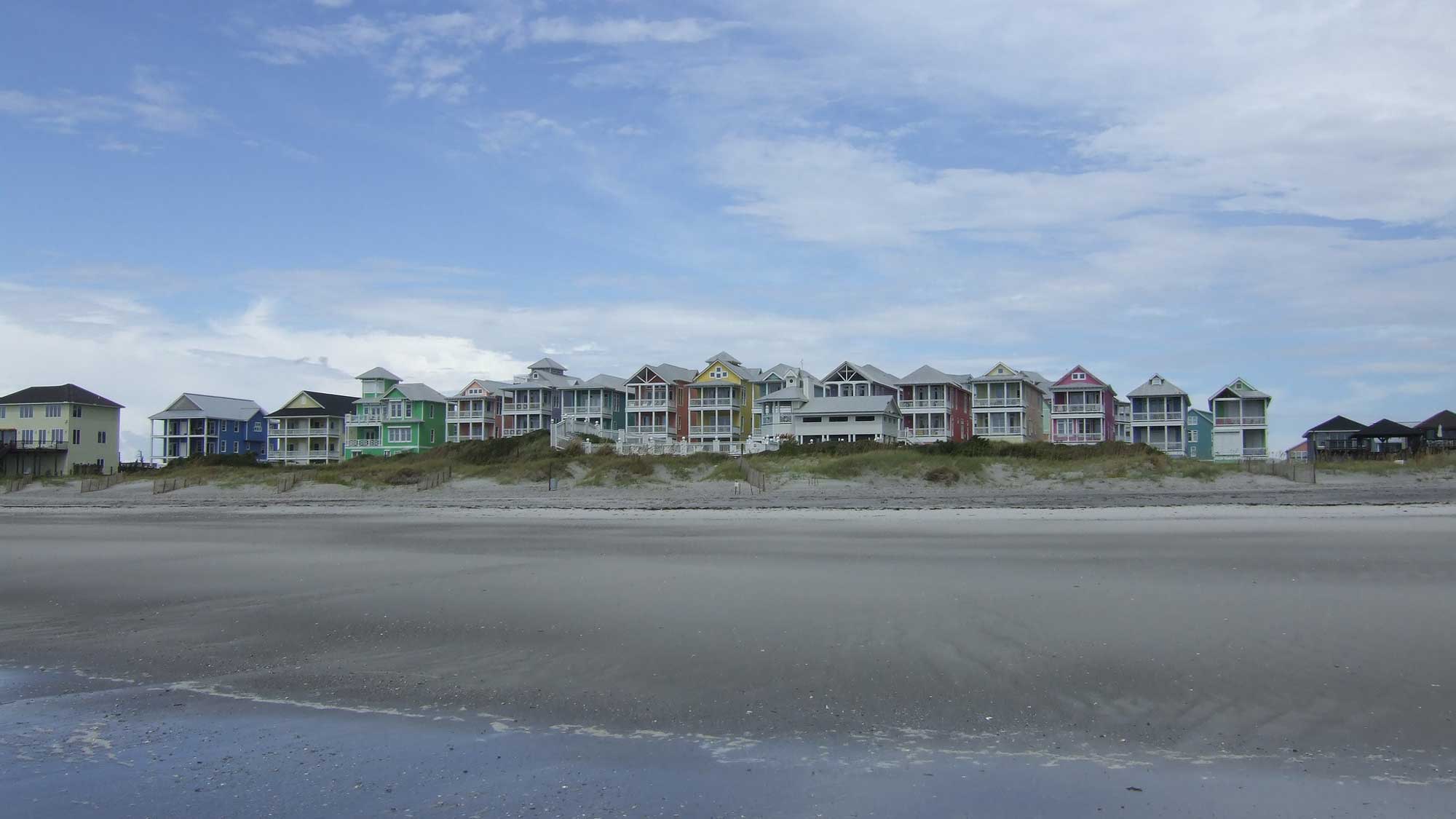
Beach cottages at Atlantic Beach, North Carolina. Photograph by "Beth" (Flickr; Creative Commons Attribution-NonCommercial 2.0 Generic license; image cropped and resized).
Places to Visit
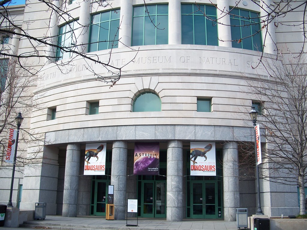
The North Carolina Museum of Natural Sciences. Photograph by Dana Lane (Flickr; Creative Commons Attribution-NonCommercial-NoDerivs 2.0 Generic license).
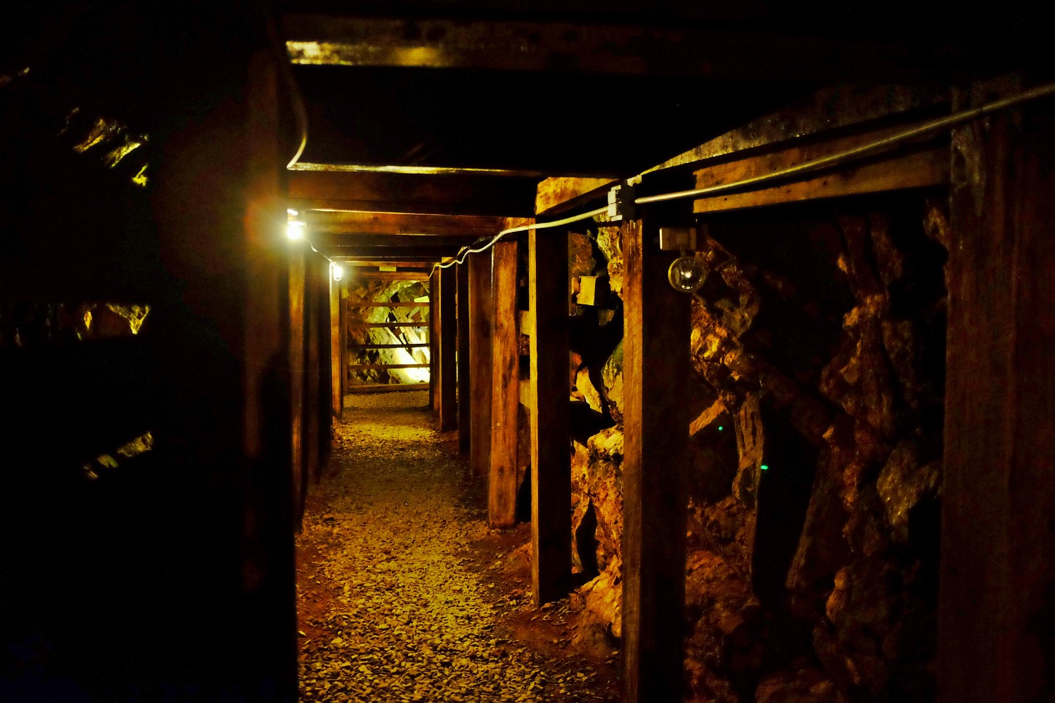
Inside Reed Gold Mine, North Carolina. Photograph by Neal Wellons (Flickr; Creative Commons Attribution-NonCommercial-NoDerivs 2.0 Generic license).
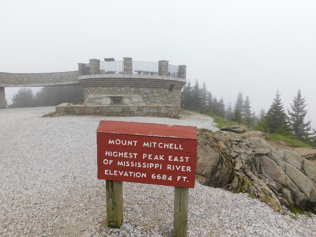
Observation deck at Mount Mitchell. Photograph by Jimmy Emerson (Flickr; Creative Commons Attribution-NonCommercial-NoDerivs 2.0 Generic license).
Additional resources
Learn more about the Earth science of North Carolina and the surrounding region on Earth@Home.