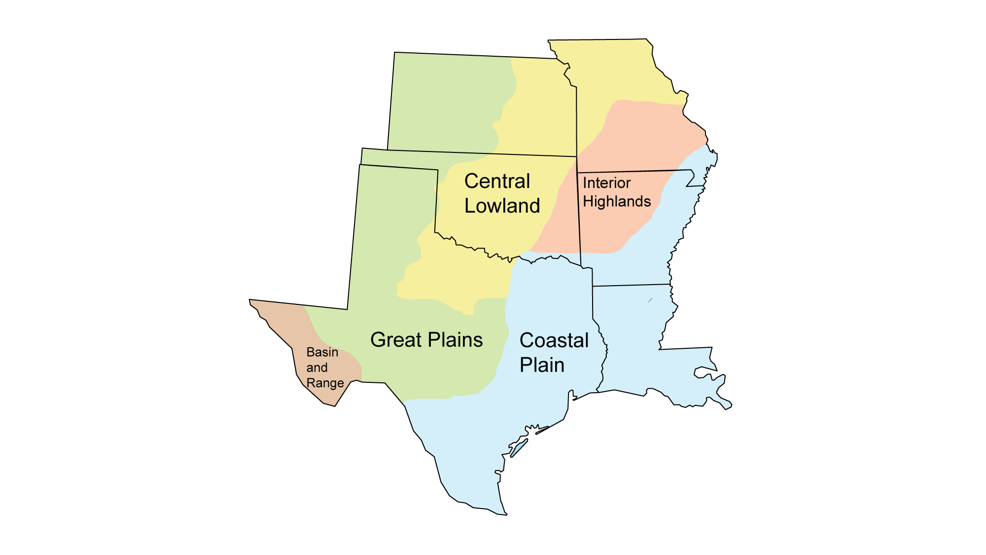
Page snapshot: Oklahoma State Geologic Map; Fossil; Rock; Mineral; Gem; Highest and Lowest Elevations; Places to Visit; and Additional Resources.
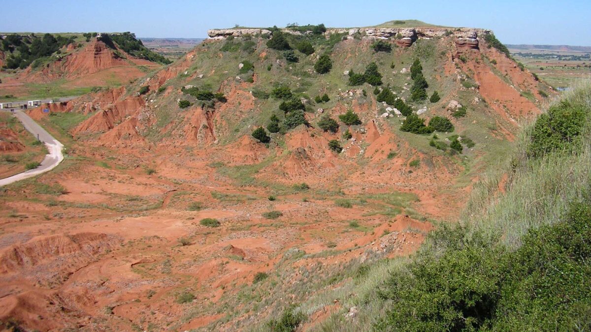
Image above: Permian redbeds in Gloss Mountains State Park in Major County, Oklahoma. Photograph by "Okiefromokla" (Wikimedia Commons; public domain).
Geologic Map of Oklahoma
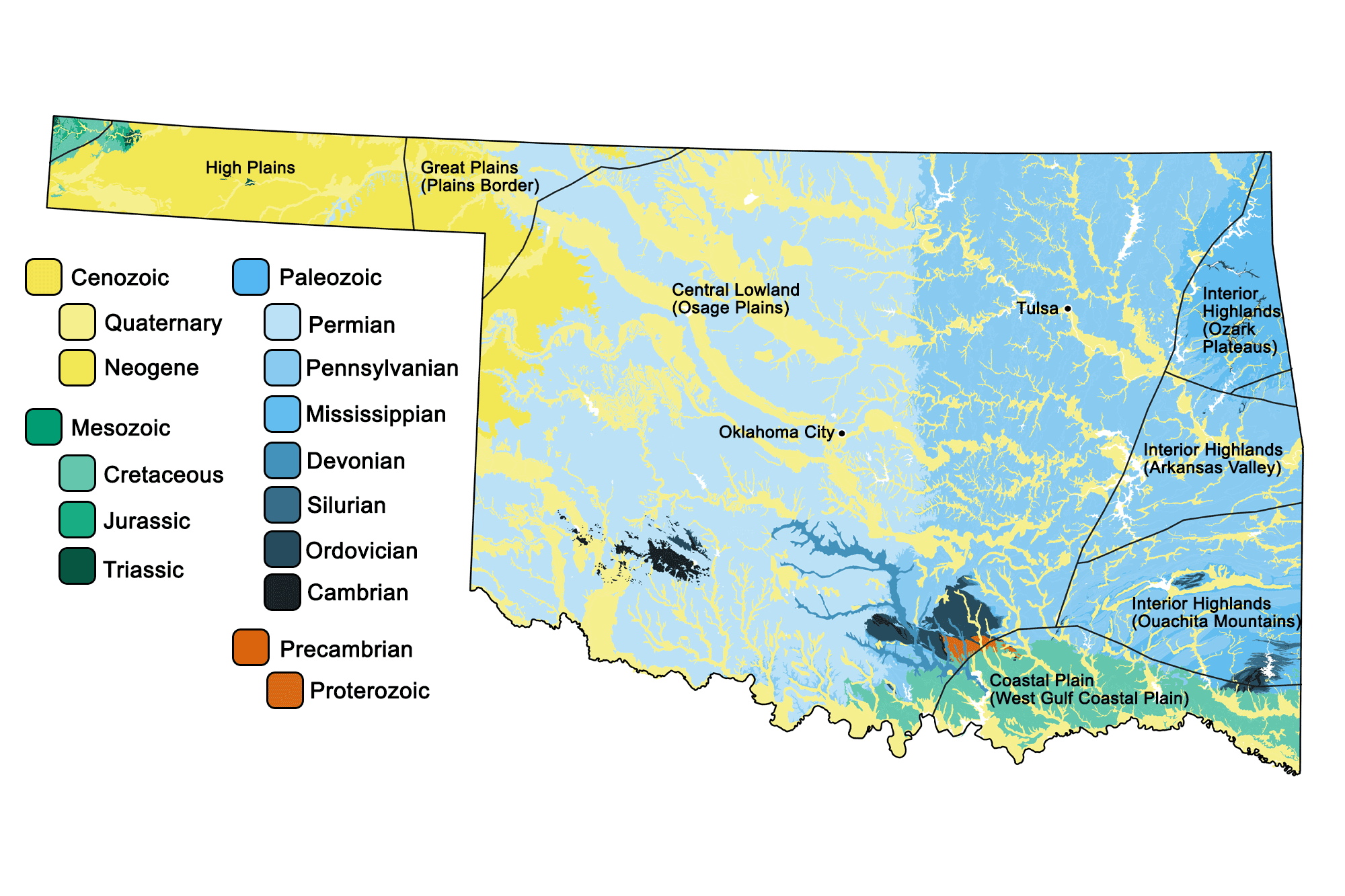
Geologic map of Oklahoma showing maximum ages of mappable units. Image by Jonathan R. Hendricks for the Earth@Home project developed using QGIS and USGS data (public domain) from Fenneman and Johnson (1946) and Horton et al. (2017).
Oklahoma State Fossil: Saurophaganax maximus
The state fossil of Oklahoma is the Jurassic theropod dinosaur Saurophaganax maximus.
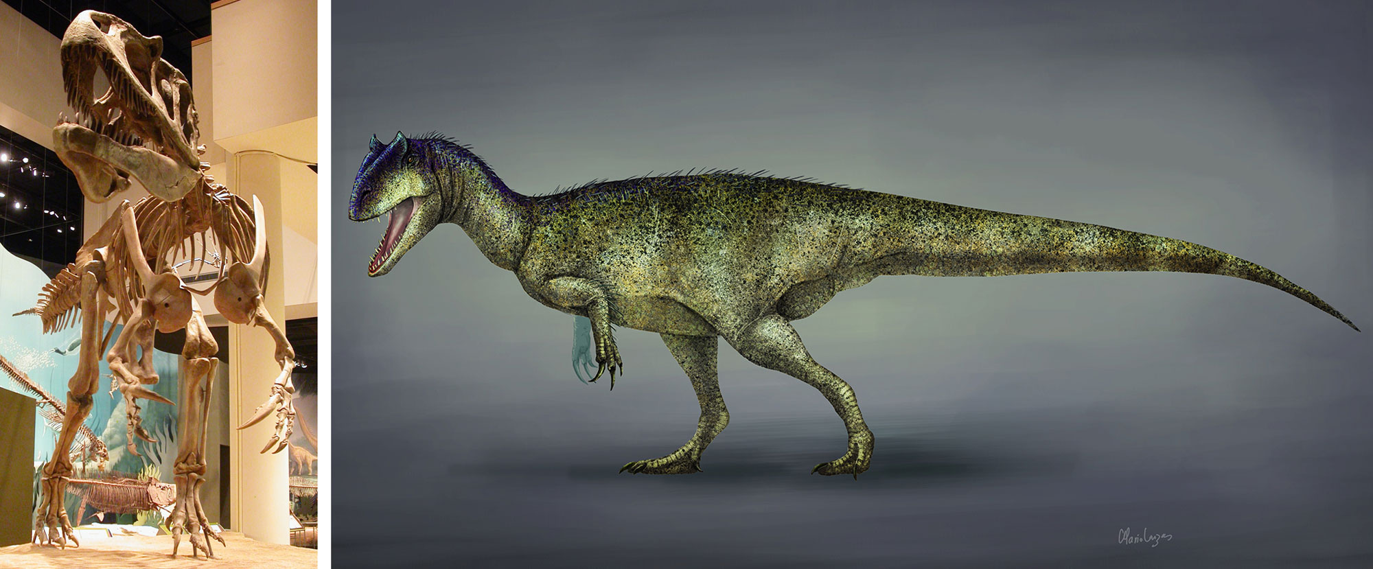
Saurophaganax maximus. Left: Mounted skeleton at the Oklahoma Museum of Natural History. Image from "Friday phalanges: Megaraptor vs. Saurophaganax" by Matt Wedel (SV-Pow, Creative Commons Attribution 3.0 Unported license, image cropped and resized). Right:Reconstruction of what Saurphaganax may have looked like in by Mario Lanzas (Wikimedia Commons, Creative Commons Attribution-Share Alike 4.0 International license, image cropped).
Oklahoma State Rock: Barite
Also known as “desert rose,” these flower-like rock formations may be composed of large crystals of gypsum, selenite, or other evaporite minerals. Oklahoma’s barite crystallized 250 million years ago during the Permian.
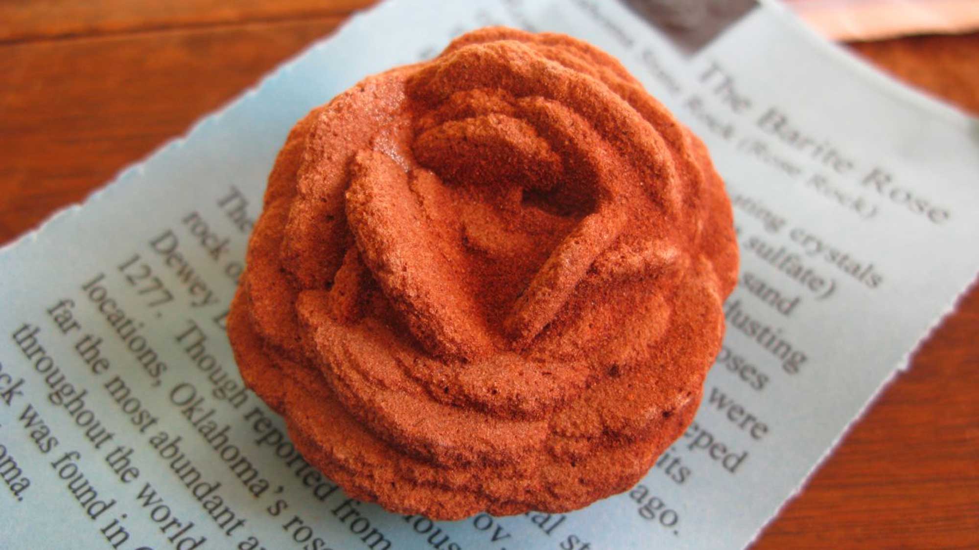
A sample of barite desert rose from Oklahoma. Photograph by "pengrin" (Flickr; Creative Commons Attribution-NonCommercial 2.0 Generic license; image cropped and resized).
Oklahoma State Mineral (Crystal): Selenite
Oklahoma does not have a state mineral, but its official state crystal is selenite, a variety of gypsum.
Interactive 3D model of the selenite variety of gypsum. Model by MSU GGP (Sketchfab; Creative Commons Attribution 4.0 International license).
Oklahoma State Gem: None
Oklahoma does not have an official state gem. What do you think it should be? Answer in the comments!
Oklahoma's Highest and Lowest Elevations
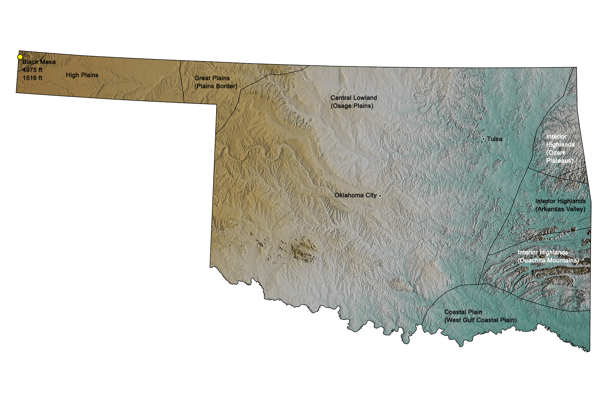
Topographic map of Oklahoma; greens indicate lower elevation, browns higher elevation. Topographic data derived from the Shuttle Radar Topography Mission (SRTM GL3) Global 90m (SRTM_GL3) (Farr, T. G., and M. Kobrick, 2000, Shuttle Radar Topography Mission produces a wealth of data. Eos Trans. AGU, 81:583-583.). Image created by Jonathan R. Hendricks for the Earth@Home project.
Highest Elevation: Black Mesa
Oklahoma’s highest point is Black Mesa, at 1516 meters (4975 feet) in elevation. It is located in the westernmost part of the Oklahoma panhandle, less than a mile east of the New Mexico border. Over 18 tons of dinosaur bones have been recovered from the Black Mesa.
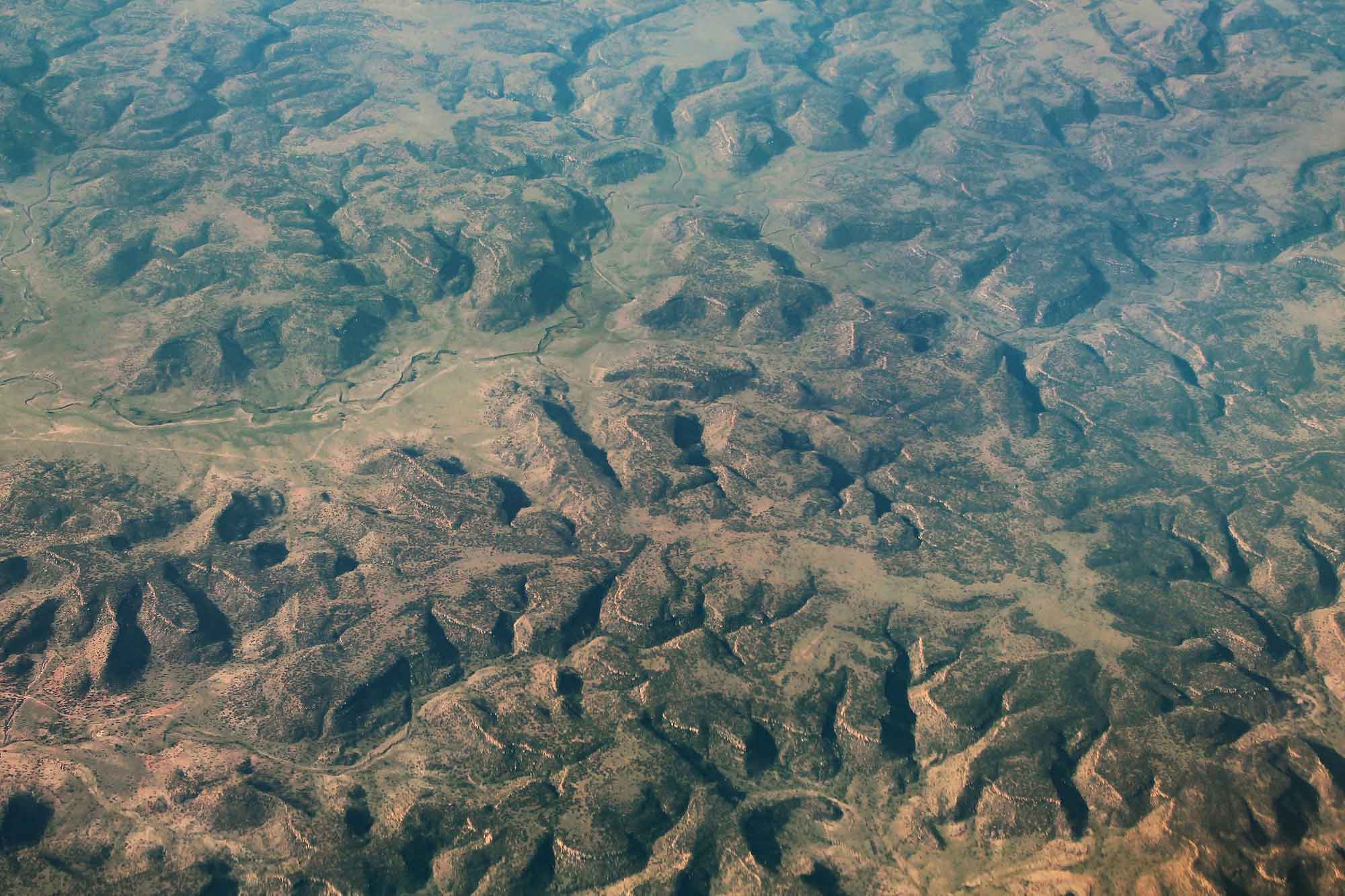
Aerial photograph of the Black Mesa Preserve in Oklahoma. Photograph by "formulanone" (Flickr; Creative Commons Attribution-ShareAlike 2.0 Generic license; image resized).
Lowest Elevation: Little River
The lowest point in Oklahoma lies at 88 meters (289 feet) above sea level and is located on the Little River at the Arkansas border.
Places to Visit
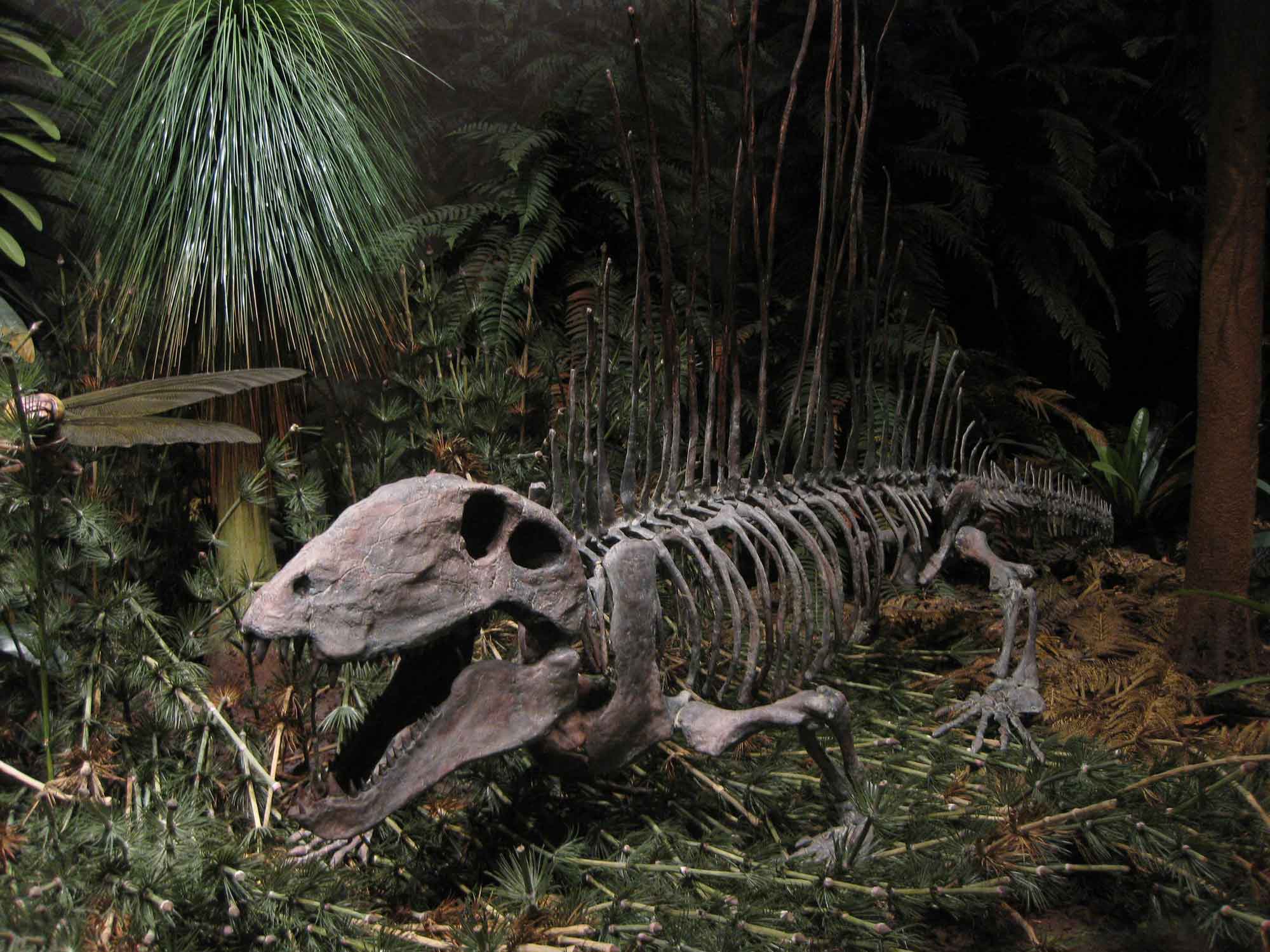
Dimetrodon skeleton on exhibit at the Sam Nobel Museum in Norman, Oklahoma. Photograph by Vince Smith (Flickr; Creative Commons Attribution 2.0 Generic license; image resized).


