Page snapshot: Washington State Geologic Map; Fossil; Rock; Mineral; Gem; Highest and Lowest Elevations; Places to Visit; and Additional Resources.
Image above: Mount Rainier at sunset. Photograph by Daniel Foster (Flickr; Creative Commons Attribution-NonCommercial-ShareAlike 2.0 Generic license).
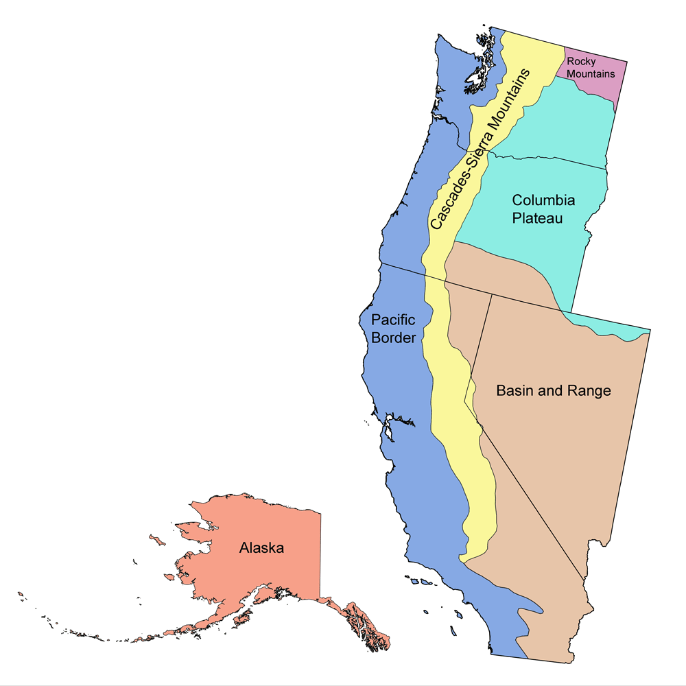
Geologic Map of Washington
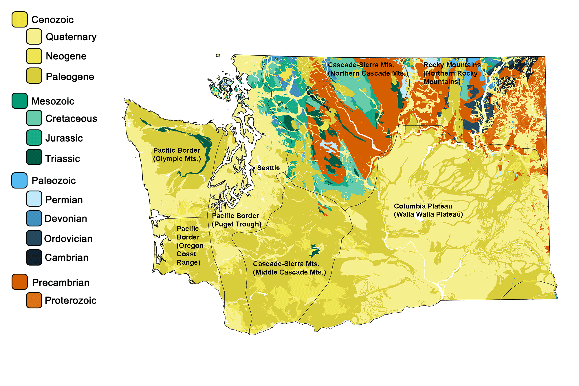
Geologic map of Washington showing maximum ages of mappable units. Image by Jonathan R. Hendricks for the Earth@Home project developed using QGIS and USGS data (public domain) from Fenneman and Johnson (1946) and Horton et al. (2017).
Washington State Fossil: Mammuthus columbi
The state fossil of Washington is Mammuthus columbi, the Columbian mammoth.
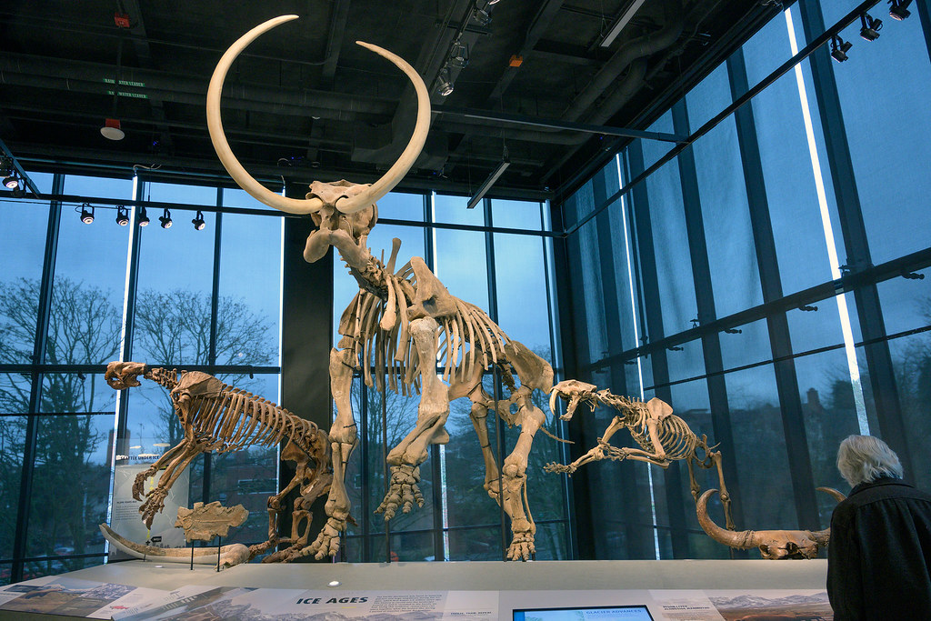
Skeleton of The Columbian Mammoth Mammuthus columbi on display at the Burke Museum in Seattle, Washington. Photograph by Richard Droker (Flickr; Creative Commons Attribution-NonCommercial-NoDerivs 2.0 Generic license).
Washington State Rock: None
Washington does not yet have an official state rock. What do you think it should be? Answer in the comments.
Washington State Mineral: Non
Washington does not yet have an official state mineral. What do you think it should be? Answer in the comments.
Washington State Gem: Petrified Wood
Washington's state gem is actually a fossil: petrified wood.
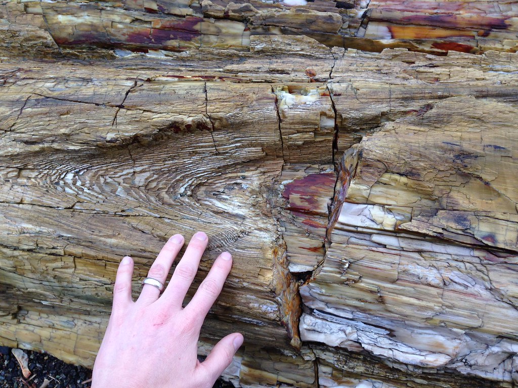
Petrified wood at Ginkgo Petrified Forest in Washington. Photograph by OER Training (Flickr; Creative Commons Attribution-NonCommercial 2.0 Generic license).
Washington's Highest and Lowest Elevations

Topographic map of Washington with physiographic regions and point of highest elevation identified. Topographic data are derived from the Shuttle Radar Topography Mission (SRTM GL3) Global 90m (SRTM_GL3) (Farr, T. G., and M. Kobrick, 2000, Shuttle Radar Topography Mission produces a wealth of data. Eos Trans. AGU, 81:583-583).
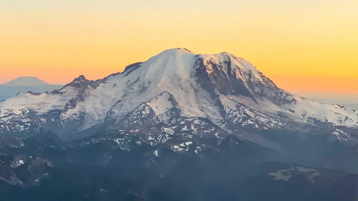
Highest Elevation: Mt. Rainier
Located 87 kilometers (54 miles) southeast of Seattle, the massive stratovolcano Mt. Rainier is Washington’s highest point at 4392 meters (14,411 feet) in elevation. As well as being the highest peak in the Cascade Range, Mt. Ranier is considered one of the world’s deadliest volcanoes due to its proximity to highly populated areas.
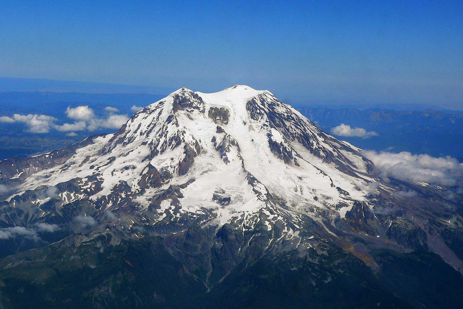
Aerial photograph of Mount Rainier. Image by Sten Shebs (Wikimedia Commons; Creative Commons Attribution-ShareAlike 3.0 Unported license).
Lowest Elevation: Pacific Coast
Washington’s lowest points are found at sea level along the coast, where the shoreline meets the Pacific Ocean.
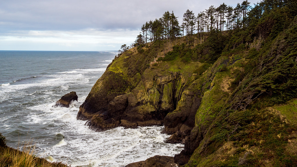
Cape Disappointment on the Pacific Coast of Washington. Photograph by Tom Collins (Flickr; Creative Commons Attribution-NoDervis 2.0 Generic license).
Places to Visit
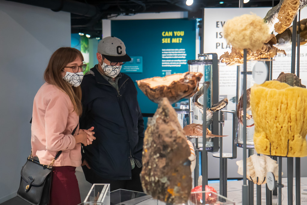
An exhibit inside the Burke Museum in Seattle, Washington. Photograph by Chris Blakeley (Flickr; Creative Commons Attribution-NonCommercial-NoDerivs 2.0 Generic license).
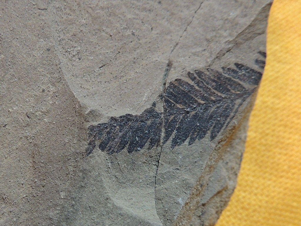
Fossil specimen of Metasequoia found at the Stonerose site in Republic, Washington. Photograph by "Upupa4me" (Flickr; Creative Commons Attribution-ShareAlike 2.0 Generic license).
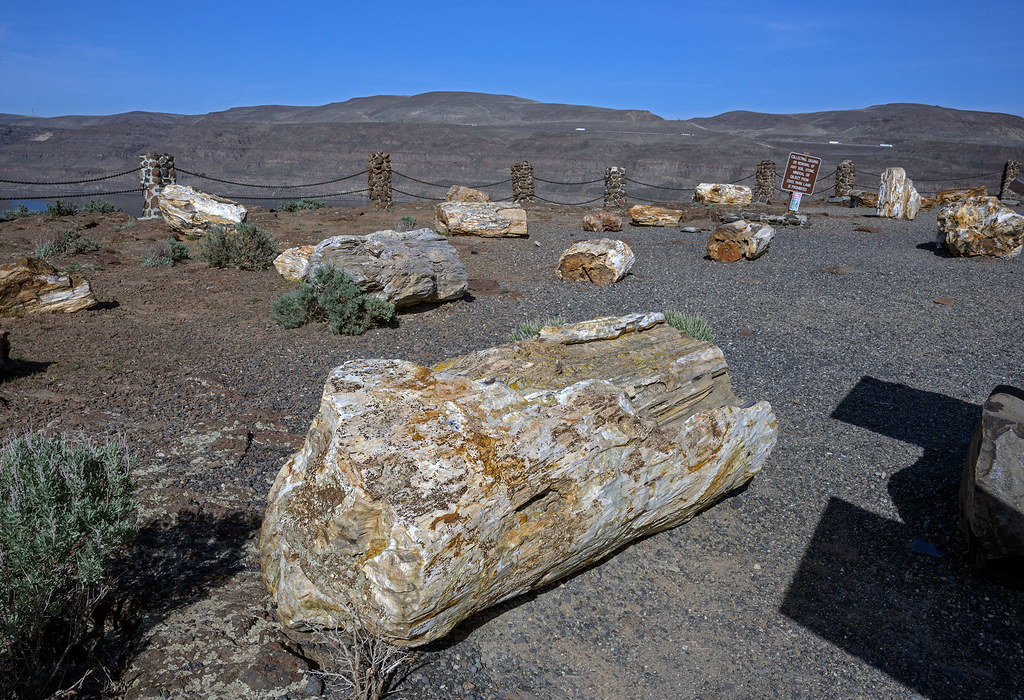
Petrified logs at Ginkgo Petrified Forest in Vantage, Washington. Photograph by Richard Droker (Flickr; Creative Commons Attribution-NonCommercial-NoDerivs 2.0 Generic license).
Additional resources