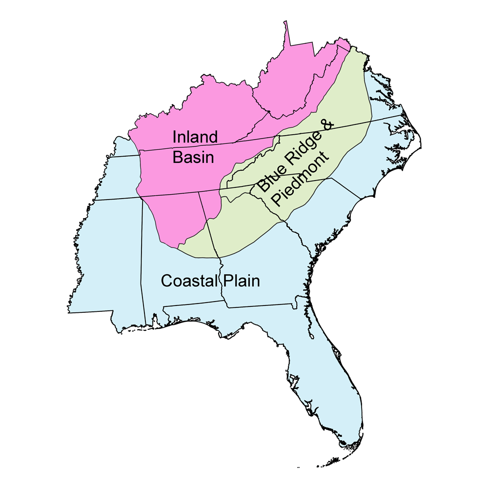
Page snapshot: Kentucky State Geologic Map; Fossil; Rock; Mineral; Gem; Highest and Lowest Elevations; Places to Visit; and Additional Resources.
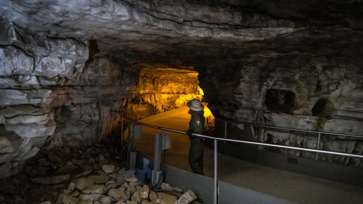
Image above: Little Bat Avenue inside of Mammoth Cave National Park, Kentucky. Photograph by Don Sniegowski (Flickr; Creative Commons Attribution-NonCommercial-ShareAlike 2.0 Generic license); image cropped and resized).
Geologic Map of Kentucky
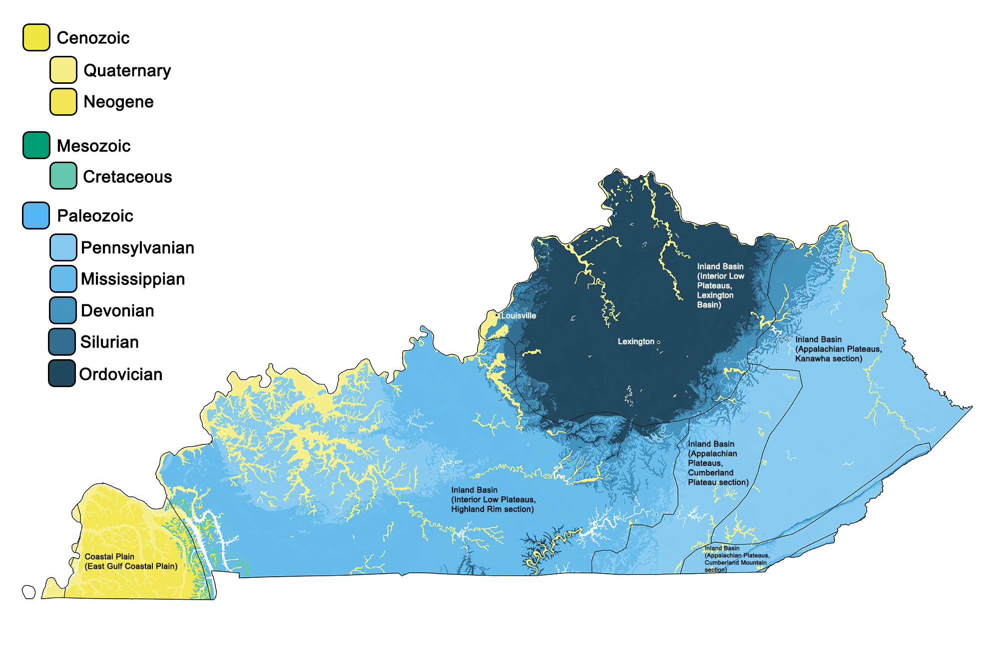
Geologic map of Kentucky showing maximum ages of mappable units. Image by Jonathan R. Hendricks for the Earth@Home project developed using QGIS and USGS data (public domain) from Fenneman and Johnson (1946) and Horton et al. (2017).
Kentucky State Fossil: Brachiopod
Kentucky's state fossil is a brachiopod (genus and species not stated). Brachiopod fossils are especially common in Ordovician-aged rocks in Kentucky near Cincinnati, Ohio. Learn more about brachiopods on the Digital Encyclopedia of Ancient Life.
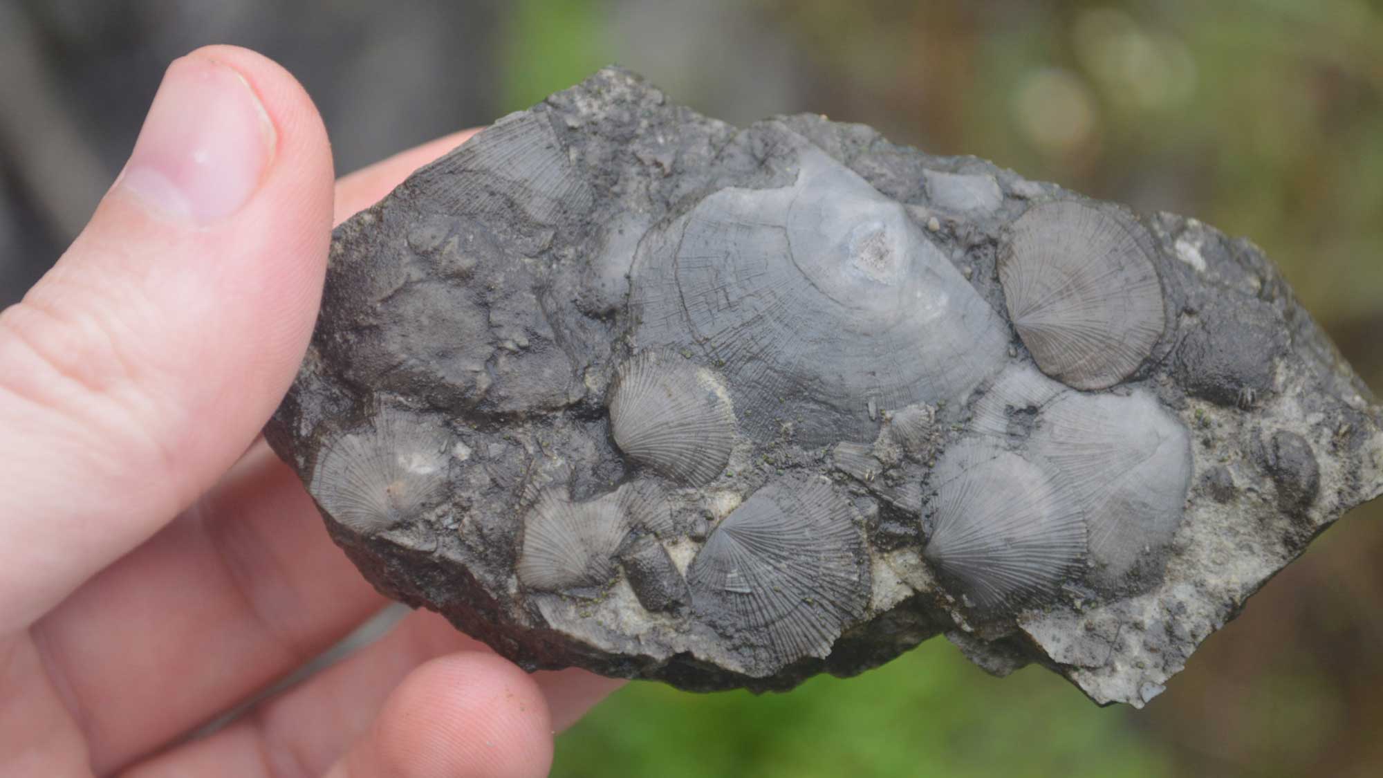
Brachiopods from the Ordovician of Kentucky. Photograph by Kyle Hartshorn (Flickr; Creative Commons Attribution 2.0 Generic license; image cropped and resized).
Kentucky State Rock: Kentucky Agate
Agate is a fine-grained and layered form of quartz, often having bright colors exhibited in patterns and bands. Kentucky agates are Mississippian in age and come in a variety of beautiful colors including red, black, gray, and yellow.
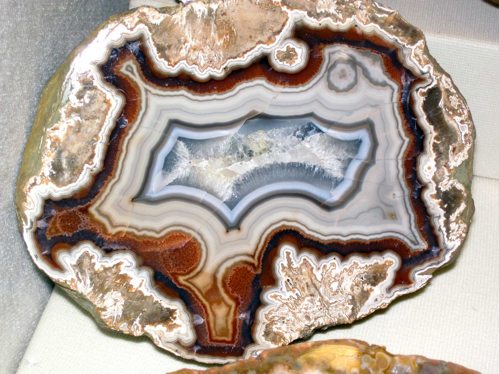
Sample of cut and polished agate from Kentucky (Mississippian Borden Formation). Photograph by James St. John (Flicker; Creative Commons Attribution 2.0 Generic license; image resized).
Kentucky State Mineral: Coal
Although the coal is not technically a mineral, it is legally considered a mineral resource thanks to its use as a fossil fuel. Kentucky is one of the top producers of coal in the US, mining 150–160 million tons annually.
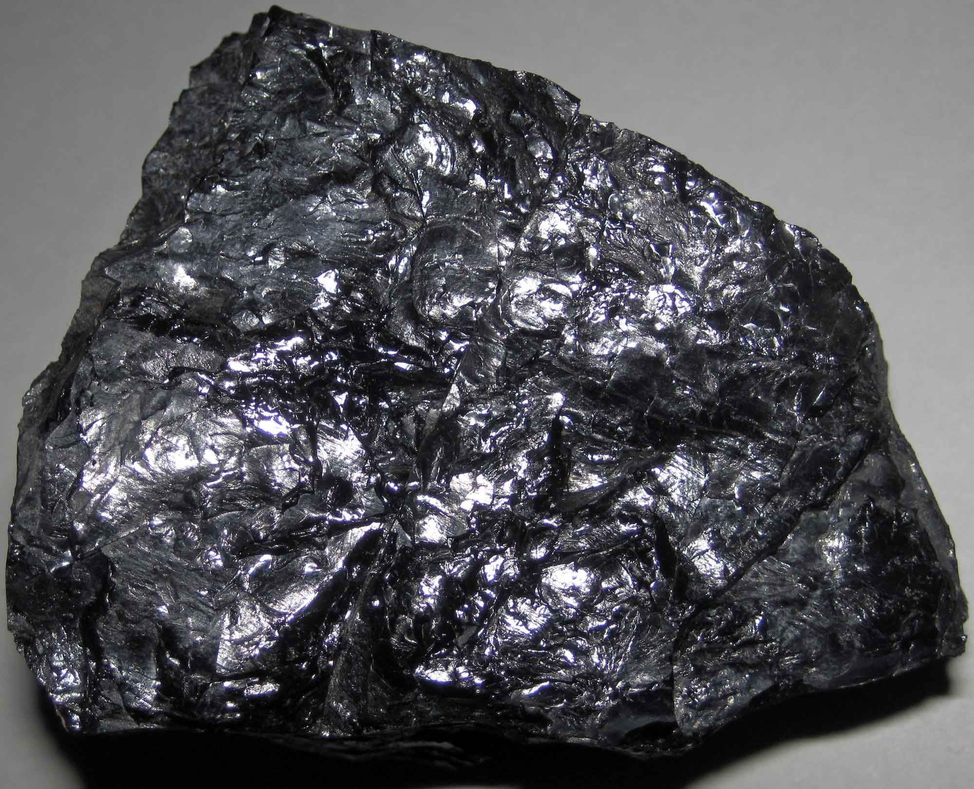
Sample of bituminous coal from the Pennsylvanian of Kentucky. Photograph by James St. John (Flicker; Creative Commons Attribution 2.0 Generic license; image resized).
Kentucky State Gem: Freshwater Pearl
While most gemstones are minerals, pearls are formed when an irritant (usually a sand grain) makes its way inside the body of a bivalve mollusk such as a mussel. The animal secretes a lining of calcium carbonate called nacre around the irritant to protect itself, forming a pearl. Due to overharvesting, pollution, and habitat loss, Kentucky’s natural pearl-producing mussels are at risk.
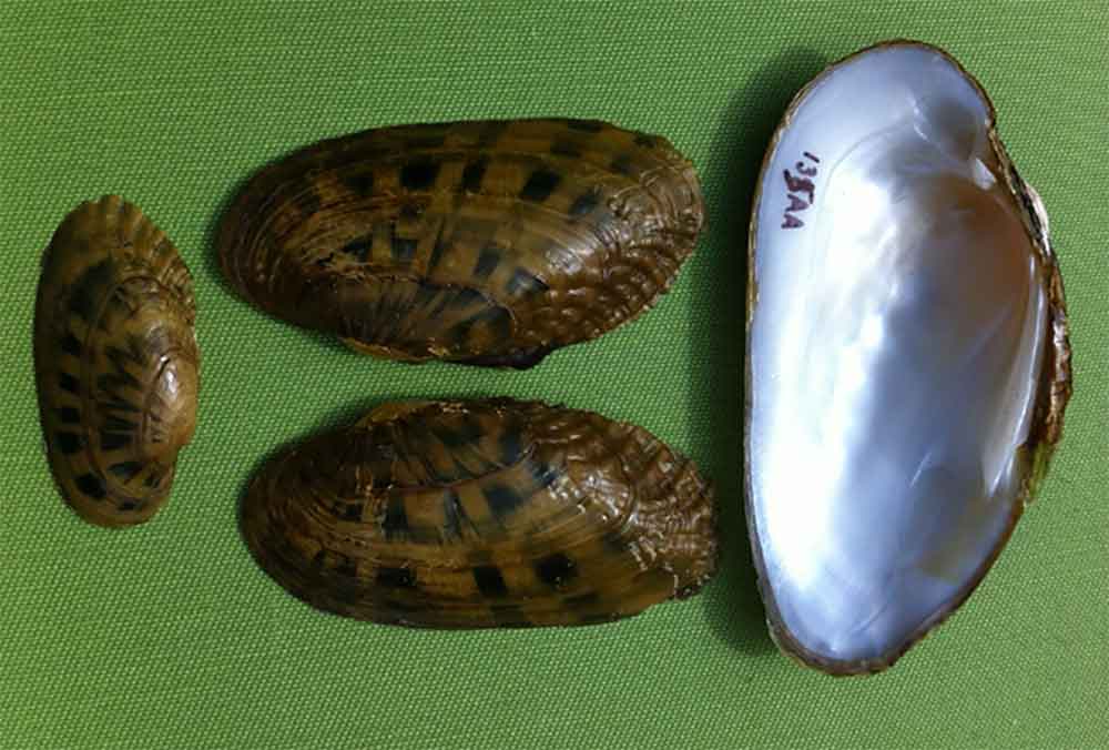
Shells of the fluted kidneyshell (Ptychobranchus subtentum), a type of freshwater mussel known from Kentucky and other nearby states. Photograph by the U.S. Fish and Wildlife Service (Flickr; Creative Commons Attribution 2.0 Generic license).
Kentucky's Highest and Lowest Elevations
Highest Elevation: Black Mountain
At 1263 meters (4139 feet) above sea level, Black Mountain is Kentucky's highest point, located in the Appalachians near the Virginia border in Harlan County. The mountain is located near rich coal veins and was threatened by mountaintop removal mining until the state purchased rights to the summit in 1999.
Black Mountain, Kentucky, the highest point in the state. Photograph by "iLoveMountains.org" (Flickr; Creative Commons Attribution 2.0 Generic license).
Lowest Elevation: Mississippi River at Kentucky Bend
The Mississippi River at Kentucky Bend in southwestern Kentucky is the lowest point in the state, with an elevation of 78 meters (257 feet).
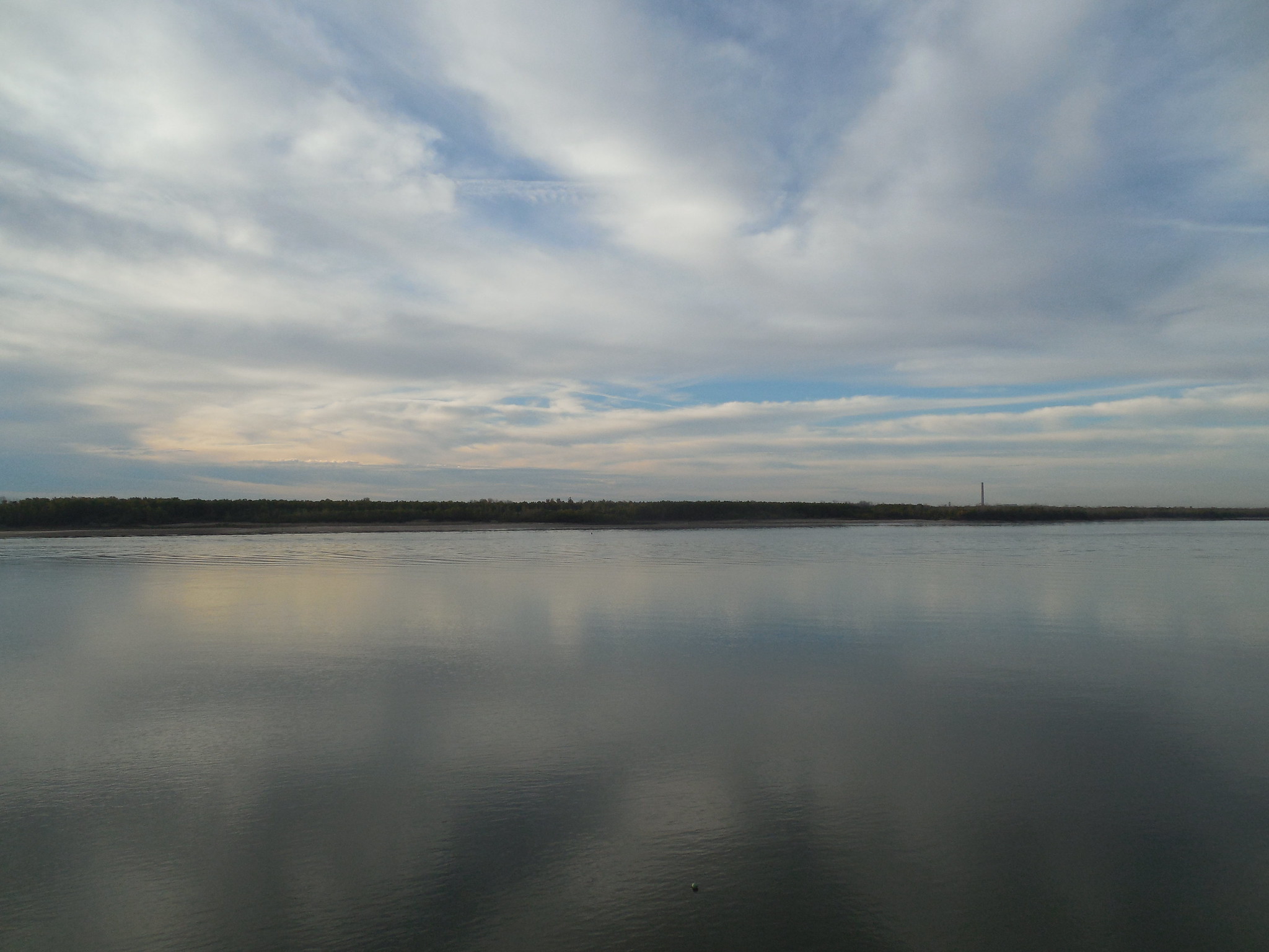
Kentucky Bend, the lowest point in Kentucky, as viewed from across the Mississippi River in New Madrid, Missouri. Photograph by Jimmy Emerson (Flickr; Creative Commons Attribution-NonCommercial-NoDerivs 2.0 Generic license).
Places to Visit
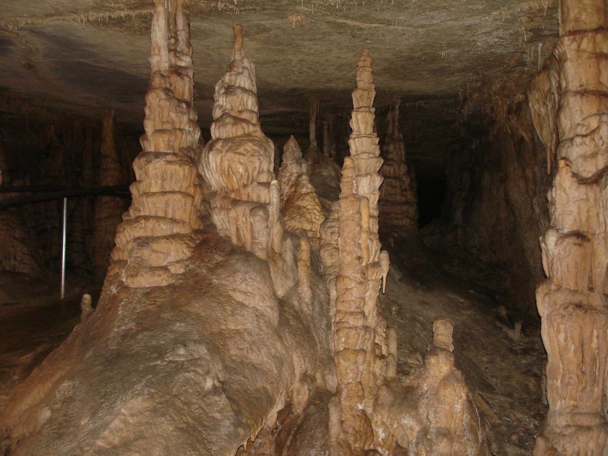
Stalagmites forming in Onyx Cave, Mammoth Cave National Park, Kentucky. Photograph by "Navin75" (Flickr; Creative Commons Attribution-ShareAlike 2.0 Generic license).
Cumberland Falls
Corbin, Kentucky. Learn more about the topography of Cumberland Falls here.
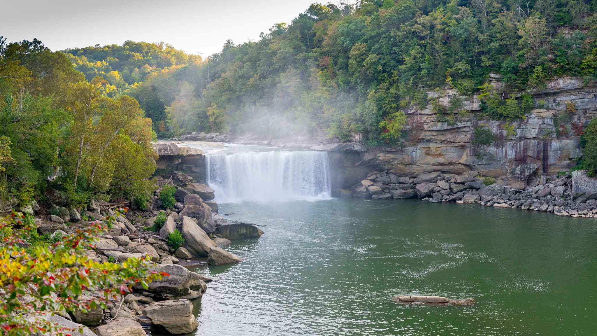
Cumberland Falls in southeastern Kentucky. Photograph by Jim Bauer (Flickr; Creative Commons Attribution-NoDerivs 2.0 Generic license).
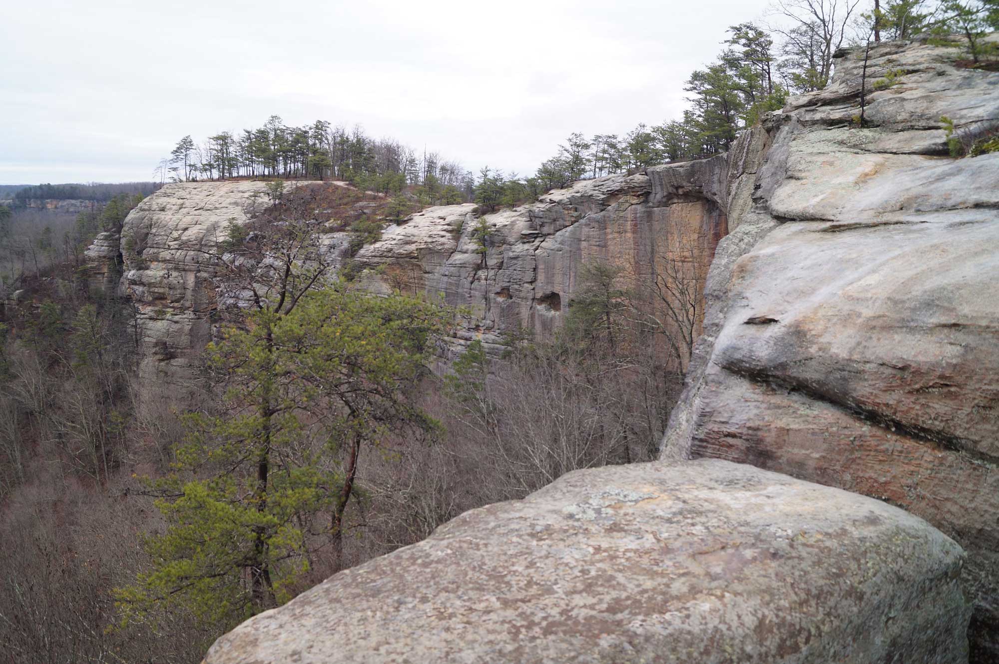
The Auxier Ridge Trail at Red River Gorge Geological Area in Kentucky. Photograph by "The Cut" (Flickr; Creative Commons Attribution 2.0 Generic license; image resized).
Additional resources