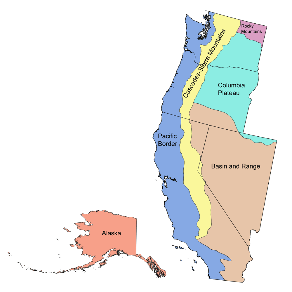
Page snapshot: Nevada State Geologic Map; Fossil; Rock; Mineral; Gem; Highest and Lowest Elevations; Places to Visit; and Additional Resources.
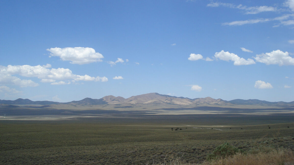
Image above: View across a basin toward a range in the Basin and Range region of Nevada, near Berlin-Ichthyosaur State Park, Nevada. Photograph by Jonathan R. Hendricks.
Geologic Map of Nevada
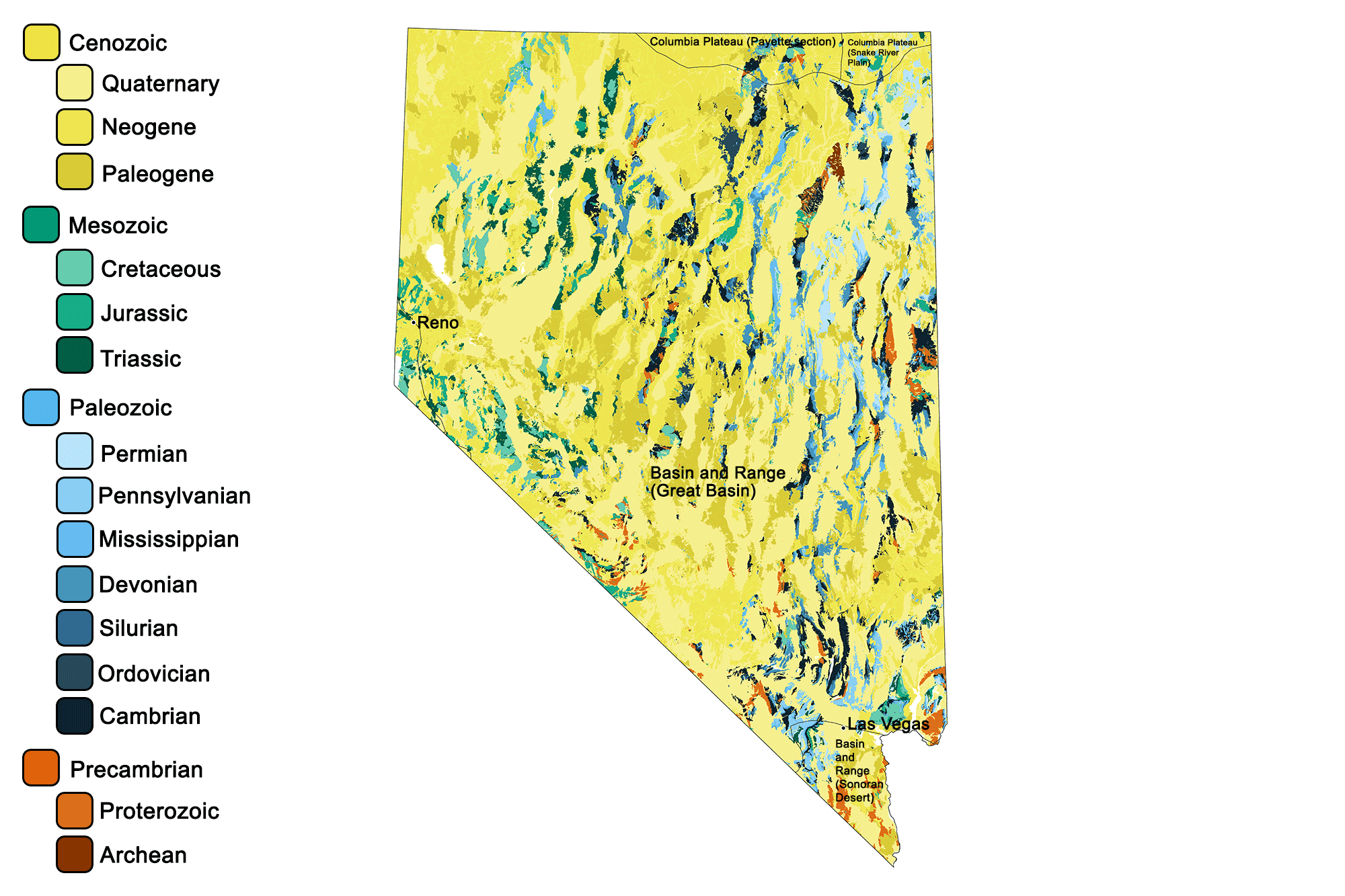
Geologic map of Nevada showing maximum ages of mappable units. Image by Jonathan R. Hendricks for the Earth@Home project developed using QGIS and USGS data (public domain) from Fenneman and Johnson (1946) and Horton et al. (2017).
Nevada State Fossil: Shonisaurus popularis (Ichthyosaur)
The state fossil of Nevada is the Triassic ichthyosaur Shonisaurus popularis, which was a type of marine reptile (not a dinosaur).
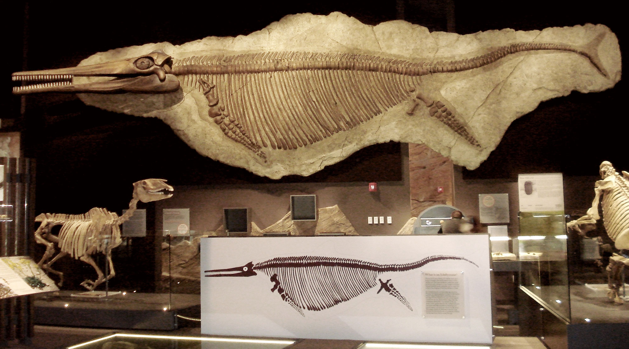
The large ichthyosaur Shonisaurus popularis from the Triassic of Nevada. Specimen on display in the Nevada State Museum, Las Vegas, Nevada. Photo by Kenneth Carpenter (Wikimedia Commons, Creative Commons Attribution-ShareAlike 4.0 International license, image cropped and resized).
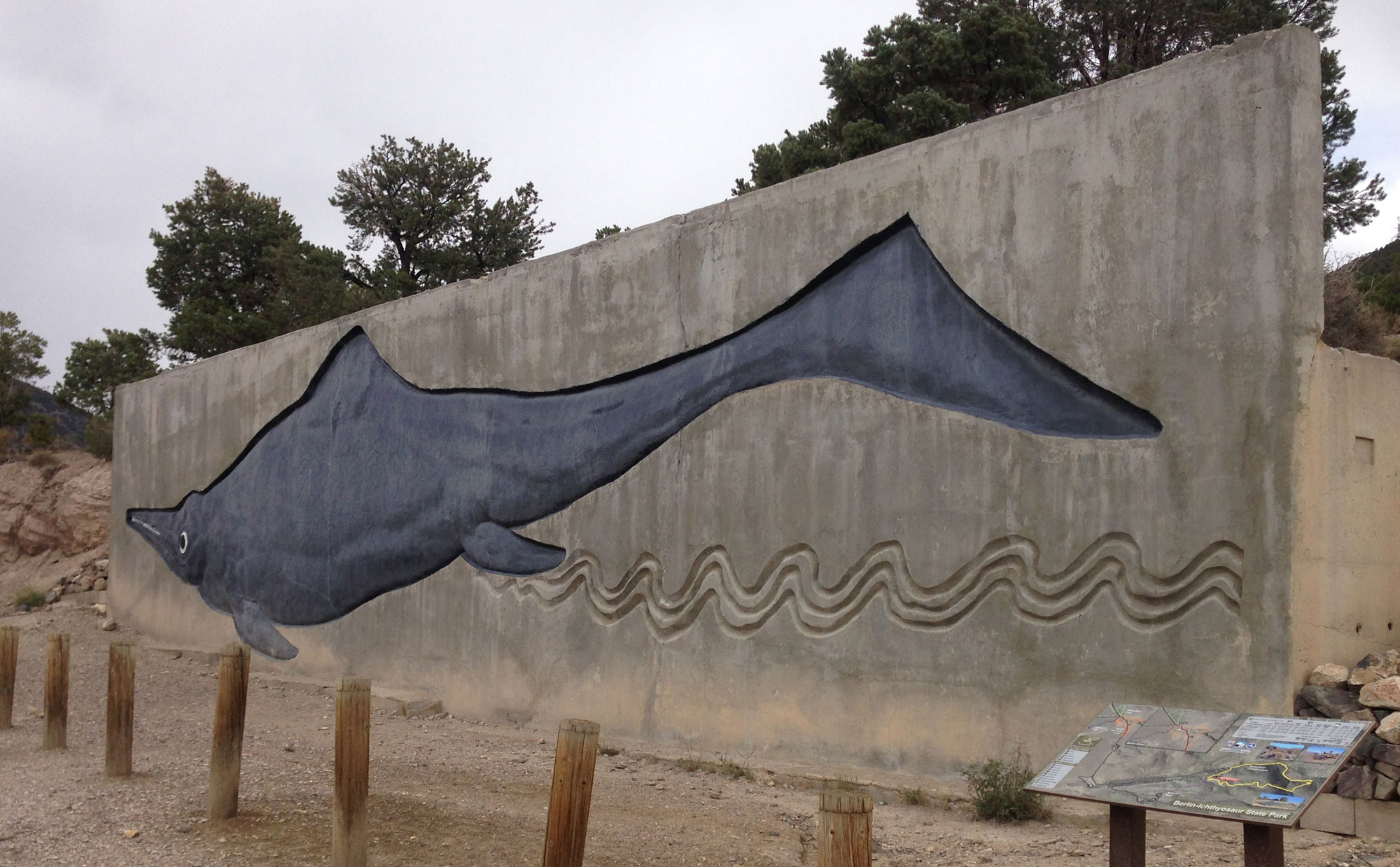
Artistic interpretation of Shonisaurus popularis at Berlin-Icthyosaur State Park in Nevada. Photo Famartin (Wikimedia Commons, Creative Commons Attribution-ShareAlike 4.0 International license, image cropped and resized).
Nevada State Rock: Sandstone
Sandstone is found throughout the entire state of Nevada and makes up some of its most spectacular scenery. The State Capitol Building is even built of sandstone.
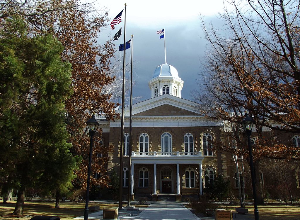
Nevada's state capitol building in Carson City was constructed from sandstone that was quarried nearby. Image by "Amadscientist" (Wikimedia Commons; Creative Commons Attribution-ShareAlike 3.0 Unported license).
Nevada State Mineral: Silver
Nevada’s nickname is the “Silver State,” dating back to the silver rush of the mid-1800s. In some areas, silver had weathered out of desert rocks over millions of years, and could often be shoveled right off the ground. Within a few decades, the desert had been picked clean of these silver deposits.
Nevada State Gem: Black Fire Opal
These gems are found in layers of clay that formed when a volcanic eruption filled an ancient lake. Silica in the ashfall replaced the cells and cavities in buried wood, hardening over time into opal.
"Mining RARE Black Fire Opal!!! | Virgin Valley - Royal Peacock Opal Mine | Denio, Nevada" by That Camping Couple (YouTube).
Nevada's Highest and Lowest Elevations
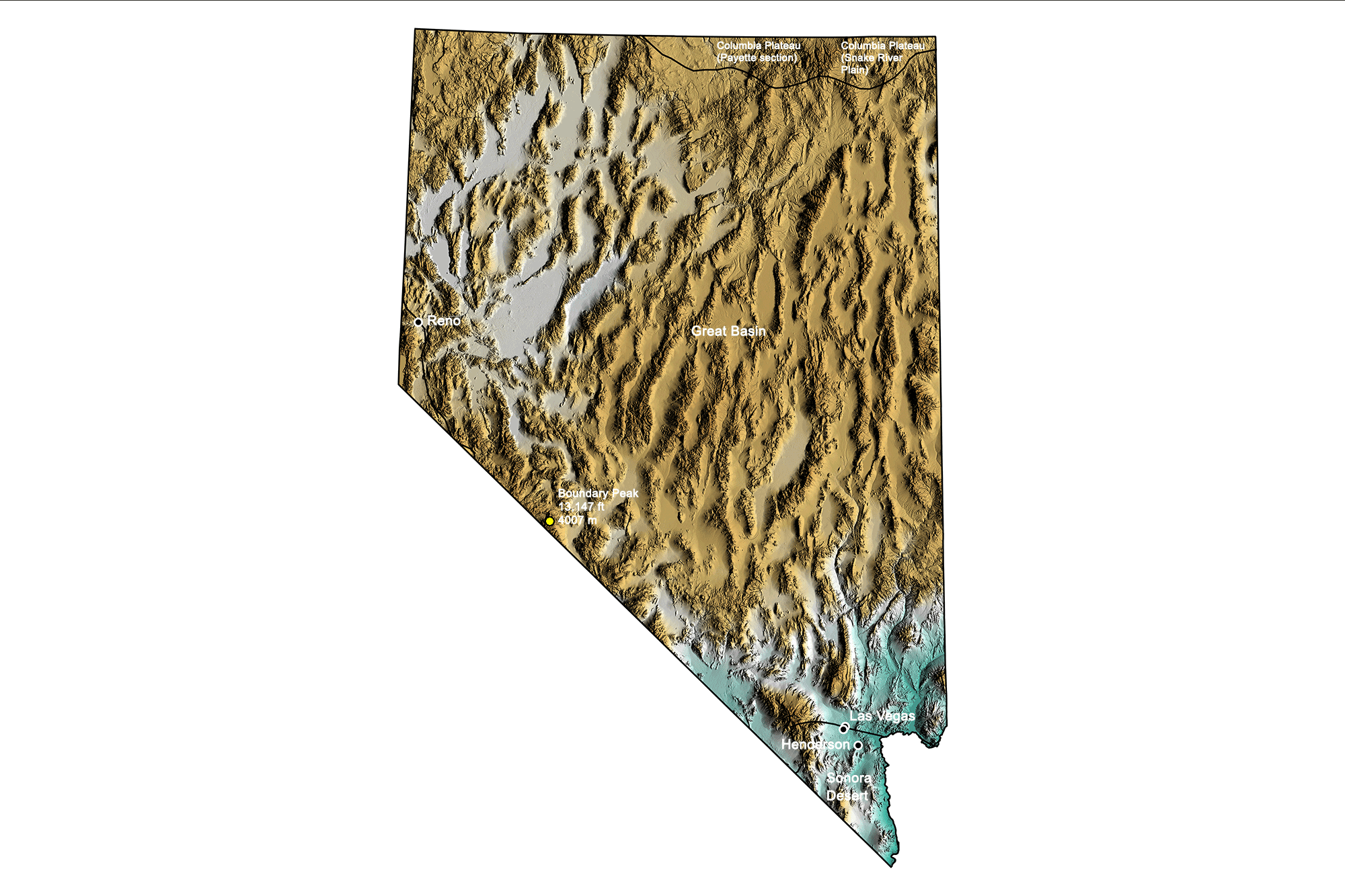
Topographic map of Nevada with physiographic regions and point of highest elevation identified. Topographic data are derived from the Shuttle Radar Topography Mission (SRTM GL3) Global 90m (SRTM_GL3) (Farr, T. G., and M. Kobrick, 2000, Shuttle Radar Topography Mission produces a wealth of data. Eos Trans. AGU, 81:583-583).
Highest Elevation: Boundary Peak
At 4007 meters (13,147 feet) above sea level, Boundary Peak is Nevada’s highest point, located less than 2 kilometers (1 mile) from the California border.
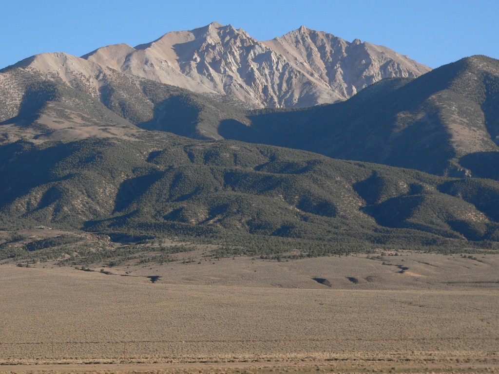
Boundary Peak, Nevada. Photograph by "An63ca" (Wikimedia Commons; public domain).
Lowest Elevation: Colorado River
Nevada’s extreme southern border with California, on the Colorado River, is the state’s lowest point at 147 meters (481 feet).
Places to Visit
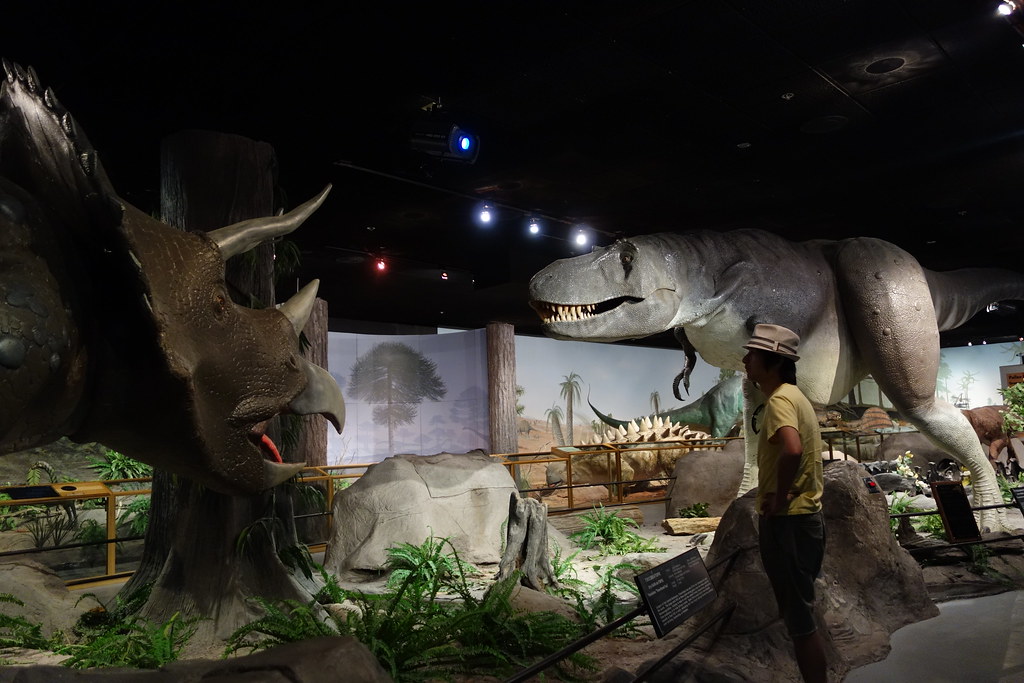
Exhibit at the Las Vegas Museum of Natural History in Nevada. Photograph by "kennejima" (Flickr; Creative Commons Attribution 2.0 Generic license).
Berlin-Ichthyosaur State Park
It's not really close to anywhere (38.871981, -117.593607), but is worth the trip! Explore a death assemblage of ichthyosaur skeletons (see above), as well as a ghost mining town.
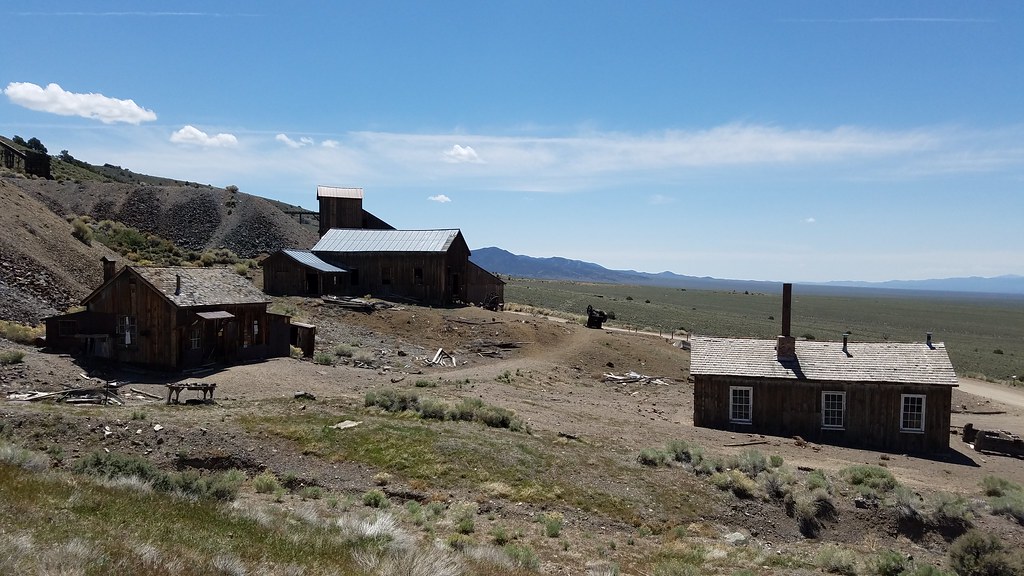
Ghost mining town at Berlin-Ichthyosaur State Park in Nevada. Photograph by Jeff Moser (Flickr; Creative Commons Attribution-NoDervis 2.0 Generic license).


