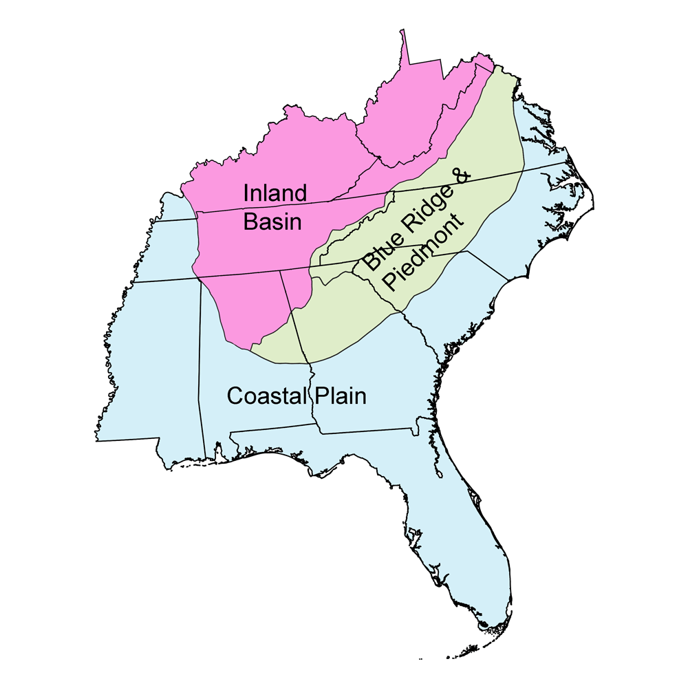
Page snapshot: South Carolina State Geologic Map; Fossil; Rock; Mineral; Gem; Highest and Lowest Elevations; Places to Visit; and Additional Resources.
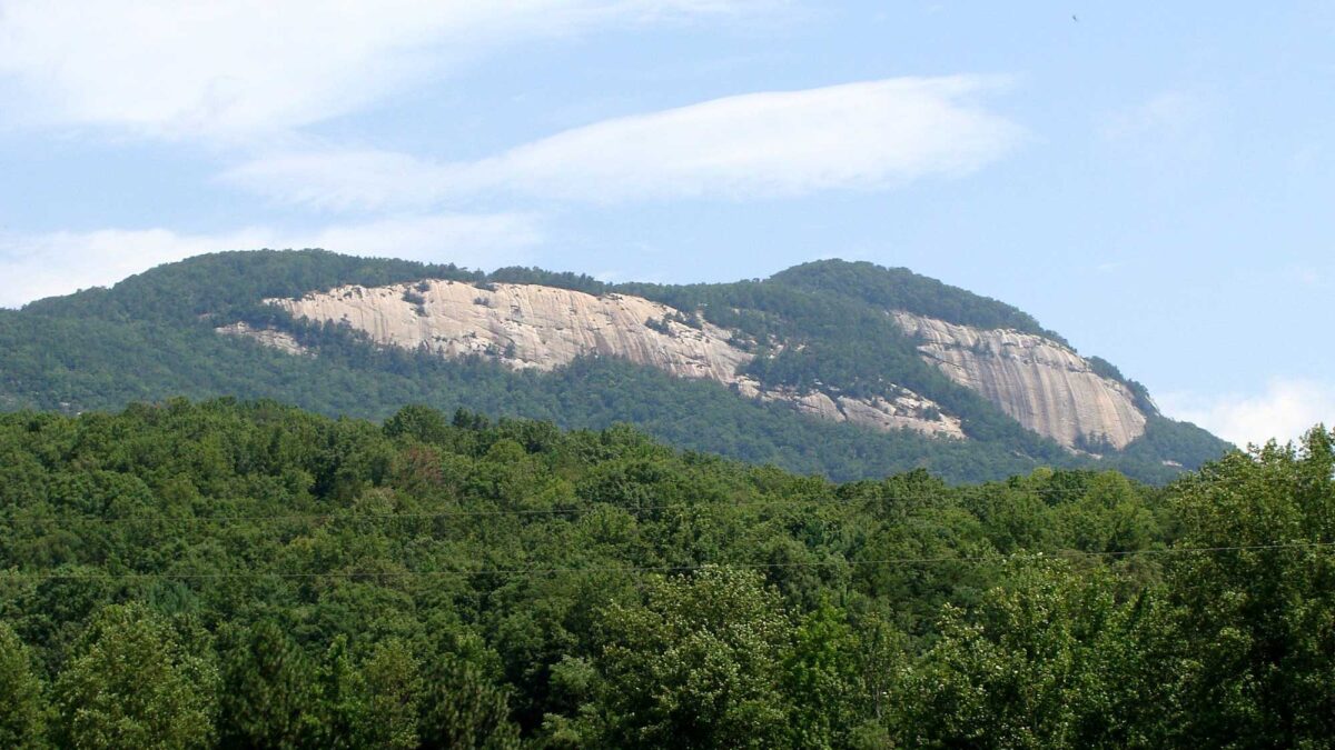
Image above: Table Rock Mountain, a monadnock in South Carolina (learn more about it here). Photograph by Martin LaBar (Flickr; Creative Commons Attribution-NonCommercial 2.0 Generic license; image cropped and resized).
Geologic Map of South Carolina
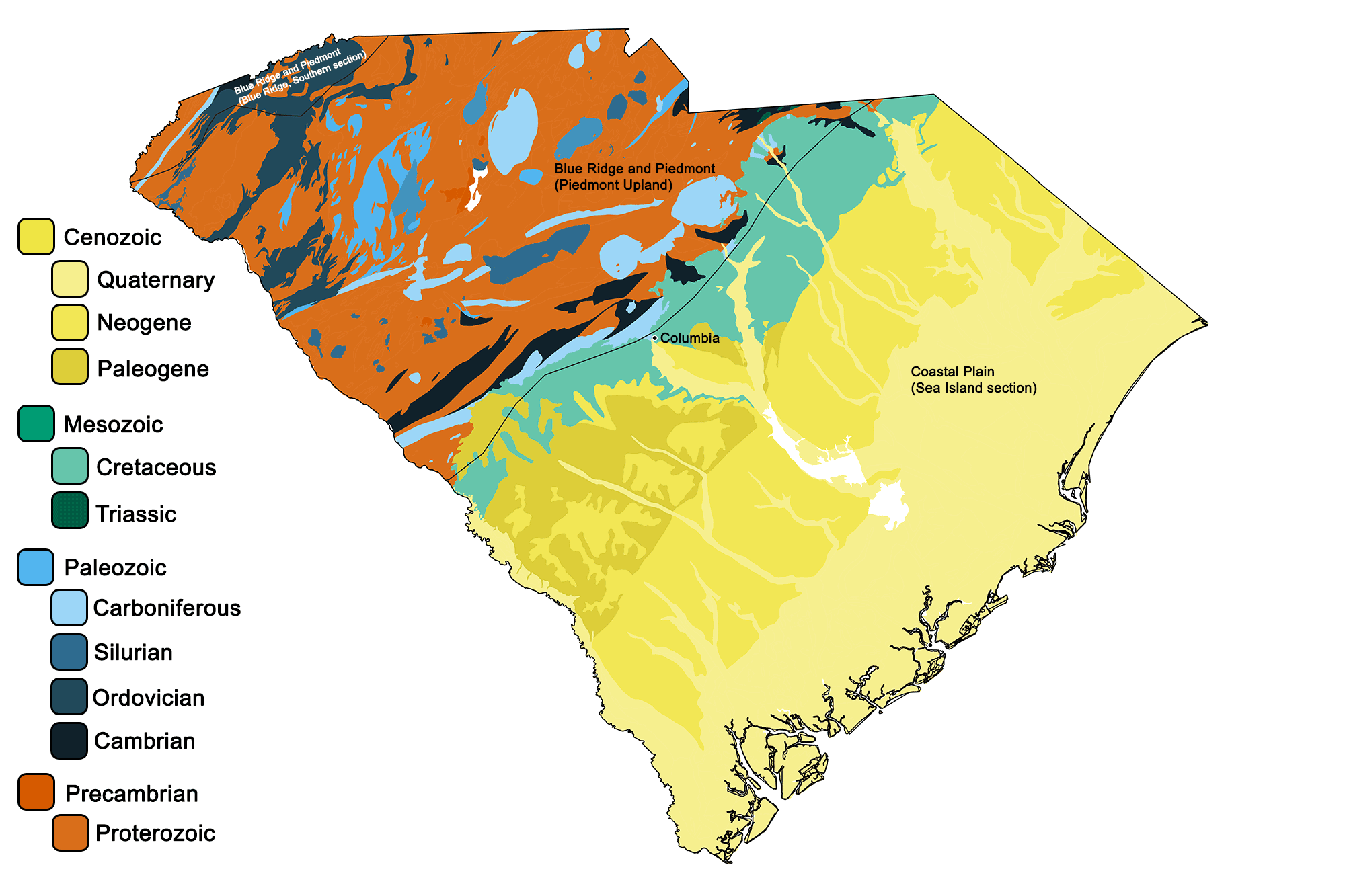
Geologic map of South Carolina showing maximum ages of mappable units. Image by Jonathan R. Hendricks for the Earth@Home project developed using QGIS and USGS data (public domain) from Fenneman and Johnson (1946) and Horton et al. (2017).
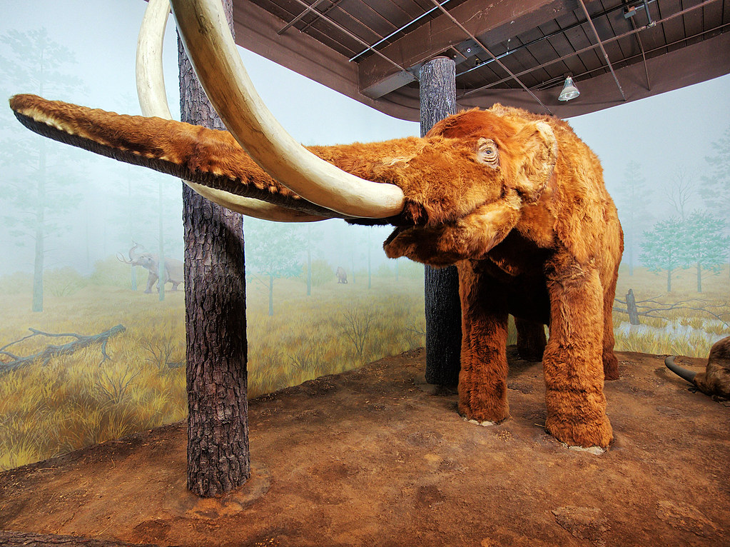
South Carolina State Fossil: Mammuthus columbi
South Carolina's state fossil is Mammuthus columbi, the Columbian mammoth, which lived during the Pleistocene Epoch.
South Carolina State Rock: Blue Granite
Blue granite is unique to the South Carolina's Midlands and Piedmont, and its blue color is most likely due to the presence of certain potassium feldspars in the rock. South Carolina is one of the nation’s top producers of granite for construction purposes.
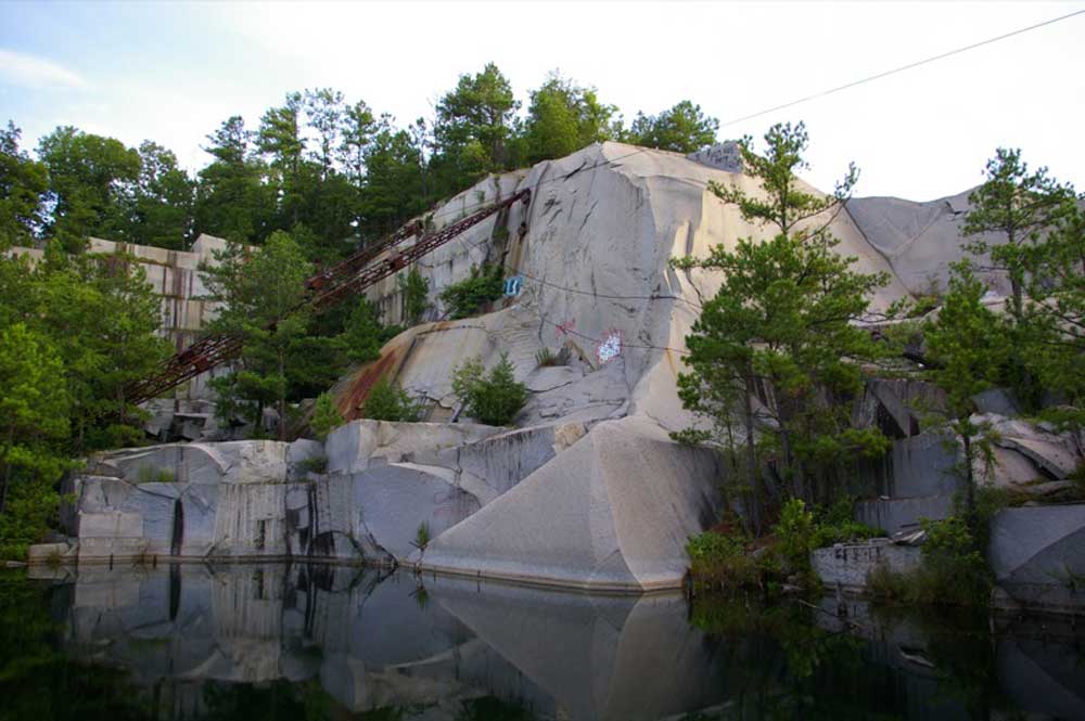
Abandoned quarry in South Carolina where blue granite was once mined. Photograph by Duane Burdick (Flickr; Creative Commons Attribution 2.0 Generic license).
South Carolina State Mineral: None
South Carolina has no state mineral, though it does have a state gem (amethyst, a type of purple-colored quartz; see below). What do you think South Carolina's official mineral should be? Please provide suggestions in the comments below.
South Carolina State Gem: Amethyst
Amethyst is a type of quartz crystal that is typically found in elongated clusters, and can range from a pale lilac color to a deep purple based on iron content. One of the largest amethyst clusters ever found, weighing in at 53 kilograms (118 pounds), was found at the Diamond Hill Quartz Prospect near Antreville, South Carolina in 2008.
"Digging for Top Quality World Class Amethyst Quartz Crystals in South Carolina" by The Crystal Collector (YouTube).
South Carolina's Highest and Lowest Elevations
Highest Elevation: Sassafras Mountain
Sassafras Mountain, in the Blue Ridge Mountains of northern Pickens County, is South Carolina's highest point. Although the mountain stands 1083 meters (3553 feet) above sea level, it is accessible from a parking lot at the summit.
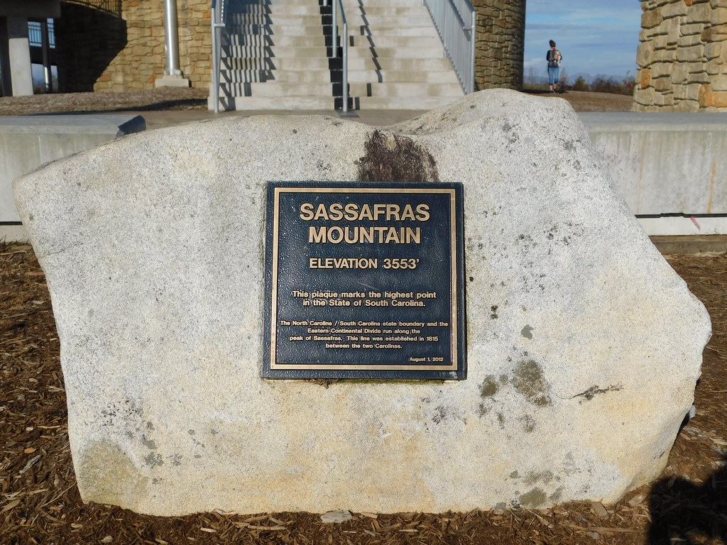
Sassafras Mountain is the highest point in South Carolina. Photograph by Jimmy Emerson (Flickr; Creative Commons Attribution-NonCommercial-NoDerivs 2.0 Generic license).
Lowest Elevation: Atlantic Coast
South Carolina's coast, where the shoreline meets the Atlantic Ocean, is the state's lowest point.
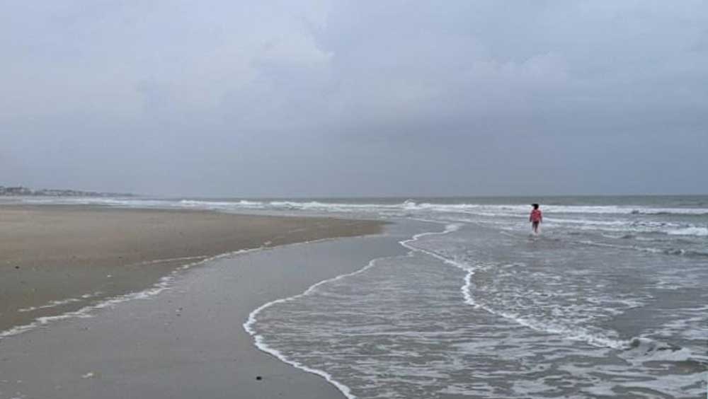
Sandy beach on the Atlantic coastline of South Carolina. Photograph by Ashley Hendricks.
Places to Visit
Mace Brown Museum of Natural History, College of Charleston
Charleston, South Carolina.

Mace Brown Museum of Natural History. Photograph by "Akrasia25" (Wikimedia Commons; Creative Commons Attribution-ShareAlike 4.0 International license).
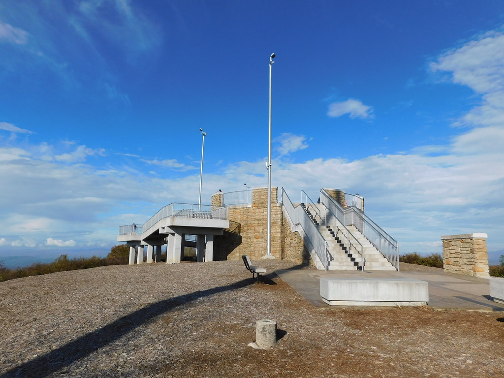
Observation platform at the top of Sassafras Mountain in South Carolina. Photograph by Jimmy Emerson (Flickr; Creative Commons Attribution-NonCommercial-NoDerivs 2.0 Generic license).
"Dig Your Own Amethyst Smoky Quartz Crystals | Diamond Hill Mine South Carolina" by The Crystal Collector (YouTube).
Additional resources
Learn more about the Earth science of South Carolina and the surrounding region on Earth@Home.


