

Snapshot: Overview of the topography of the Rocky Mountains region of northeastern Washington.
Topics covered on this page: Overview; Resources.
Credits: Most of the text of this page is derived from "Topography of the Western US" by Judith T. Parrish, Alexandra Moore, Louis A. Derry, and Gary Lewis, chapter 4 in The Teacher-Friendly Guide to the Earth Science of the Western US, edited by Mark D. Lucas, Robert M. Ross, and Andrielle N. Swaby (published in 2014 by the Paleontological Research Institution). The book was adapted for the web by Elizabeth J. Hermsen and Jonathan R. Hendricks in 2021–2022. Changes include formatting and revisions to the text and images. Credits for individual images are given in figure captions.
Updates: Page last updated May 11, 2022.
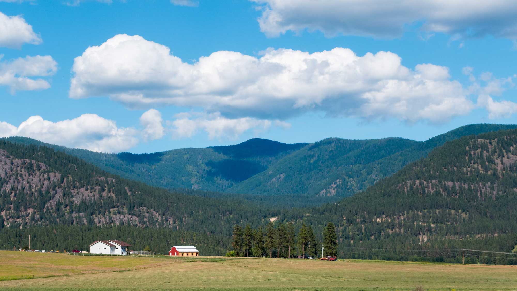
Image above: Abercrombie Mountain in northeastern Washington (elevation 7310 ft, 2228 m). Photograph by James Jacobson (Wikimedia Commons; copyright James Jacobson).
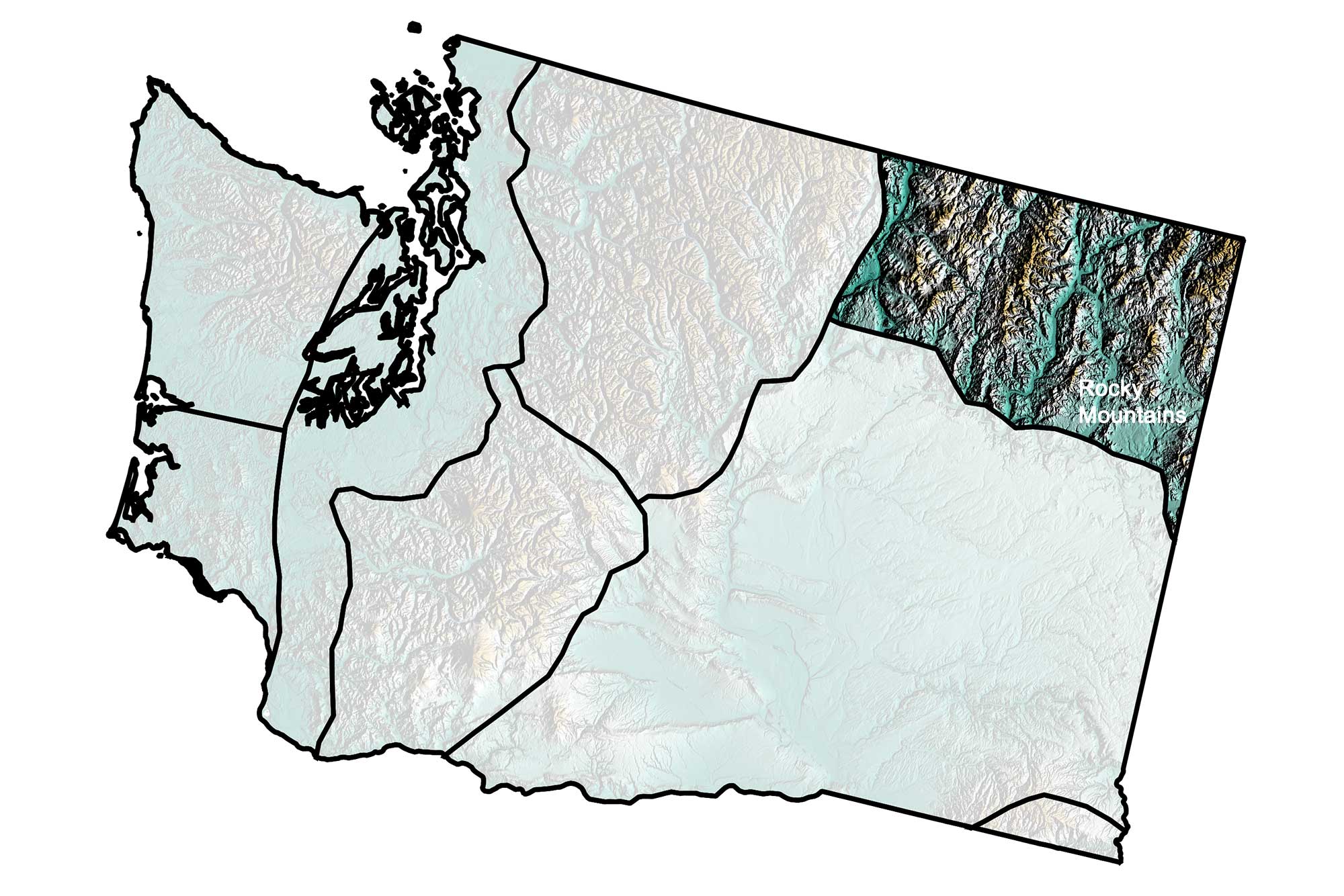
Topography of the Rocky Mountains region of northeastern Washington; greens indicate lower elevation, browns higher elevation; black lines indicate boundaries of other physiographic provinces. Topographic data derived from the Shuttle Radar Topography Mission (SRTM GL3) Global 90m (SRTM_GL3) (Farr, T. G., and M. Kobrick, 2000, Shuttle Radar Topography Mission produces a wealth of data. Eos Trans. AGU, 81:583-583.). Image created by Jonathan R. Hendricks for the Earth@Home project.
Overview
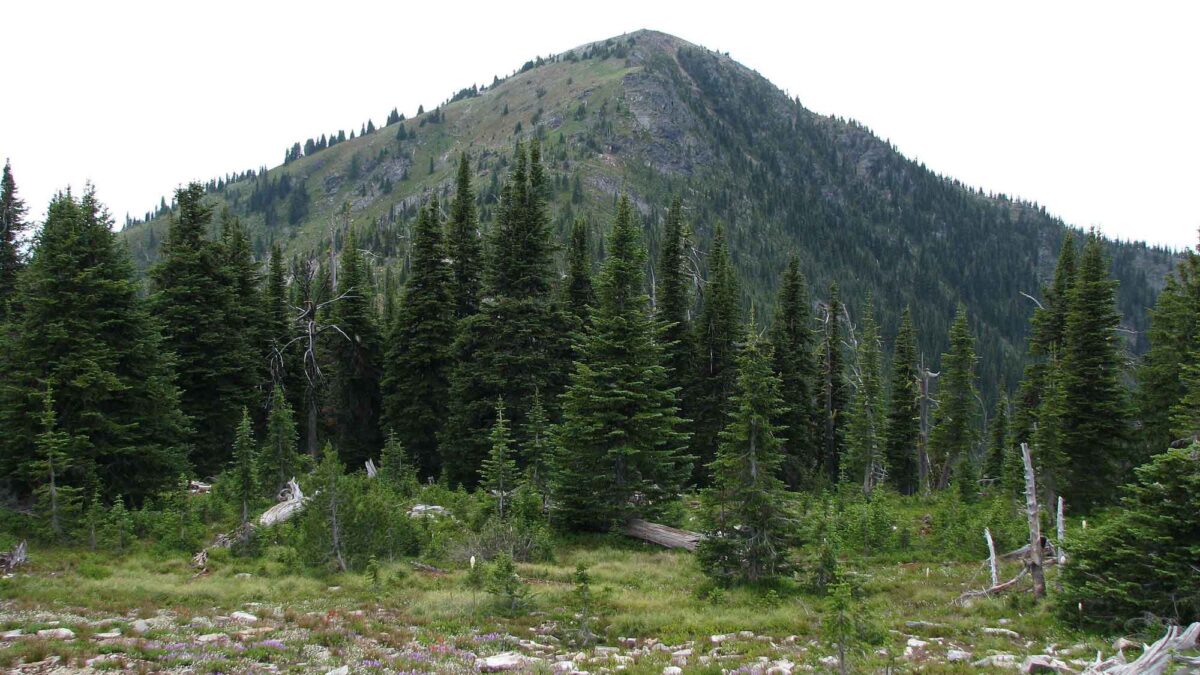
Extreme northeastern Washington has a history that is quite different from that of the other regions to the south and west. Although the rocks here contain both metamorphic and sedimentary structures, they share a similar degree of hardness. This means the region has been resistant to erosion, and, even though they are very old, these rocks remain exposed. Since this region was covered with ice during the last ice age, the mountains have been rounded by glaciation. Deep valleys were carved by glaciers flowing from the ice sheet.
The Rocky Mountains region in Colville National Forest, northeastern Washington. Photograph by Ed Suominen (Flickr; Creative Commons Attribution-NonCommercial 2.0 Generic license; image resized).