

Overview
In this section, you can find case examples of VFEs by PRI staff and colleagues that provide examples of a variety of pedagogical approaches to creating VFEs.
1. Highlighted VFEs
And their associated projects
We have highlighted several different kinds of VFEs constructed by PRI staff and colleagues as examples of how VFEs are constructed.
The Shale Hills Critical Zone Observatory VFE
Created in partnership with Penn State the Shale Hills Critical Zone Observatory (CZO) Network.
This VFE highlights how to tools such as Google Earth and Prezi can be used to help students explore the relationship between environmental data and the 3-D topography of the region. The critical zone is the physical environment in which most life resides, between the tops of the trees and the base of the groundwater; the flow of matter and energy through the system studied by interdisciplinary teams of scientists, reflecting the cores ideas of the Next Generation Science Standards. The Shale Hills CZO VFE website combines a general overview of critical zone science and VFEs, and includes both a Prezi presentation on the Shale Hills CZO.
Prezi presentation about the Shale Hills CZO by Don Haas.
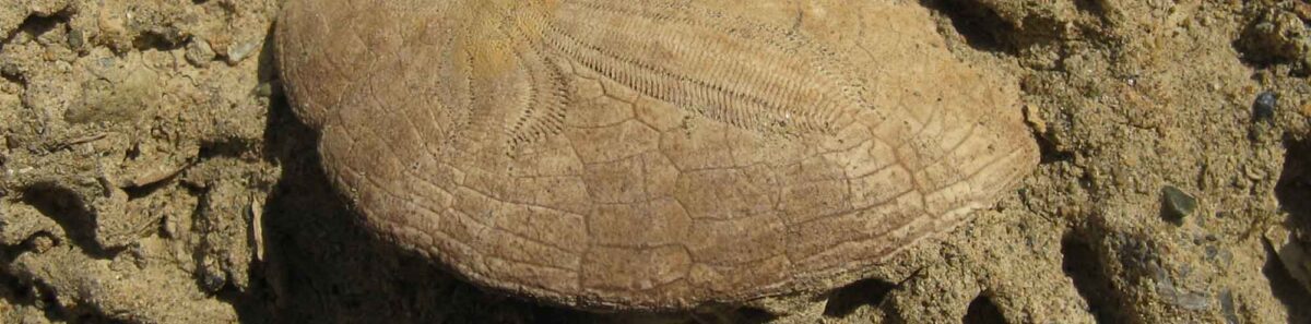
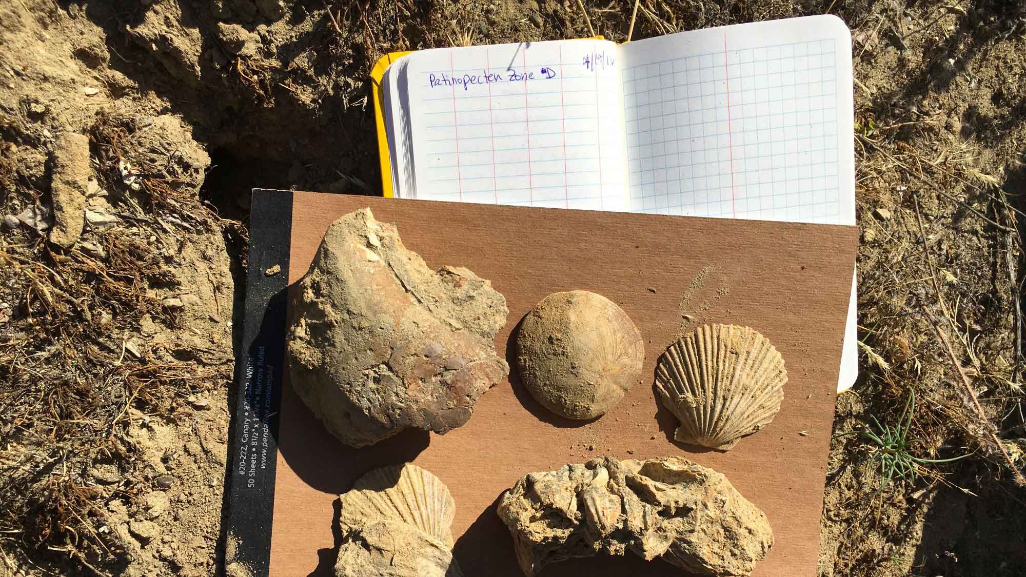
The Kettleman Hills of Central California VFE
From the Eastern Pacific Invertebrate Communities of the Cenozoic (EPICC) Project collection VFEs.
EPICC VFEs highlight how we can use field site and museum collection imagery to explore the fossil record of a site, and how to use tools such as ESRI Story Maps to presents a visually compelling story while asking students to interpret how a place came to look as it does. The EPICC program is a collaboration among nine natural history museum to make museum research collections of Cenozoic marine invertebrate fossil records from the eastern Pacific coastline; PRI partners with the UC Berkeley Museum of Paleontology to create the VFEs. The Kettleman Hills tell the story of gradually changing shallow marine environments.
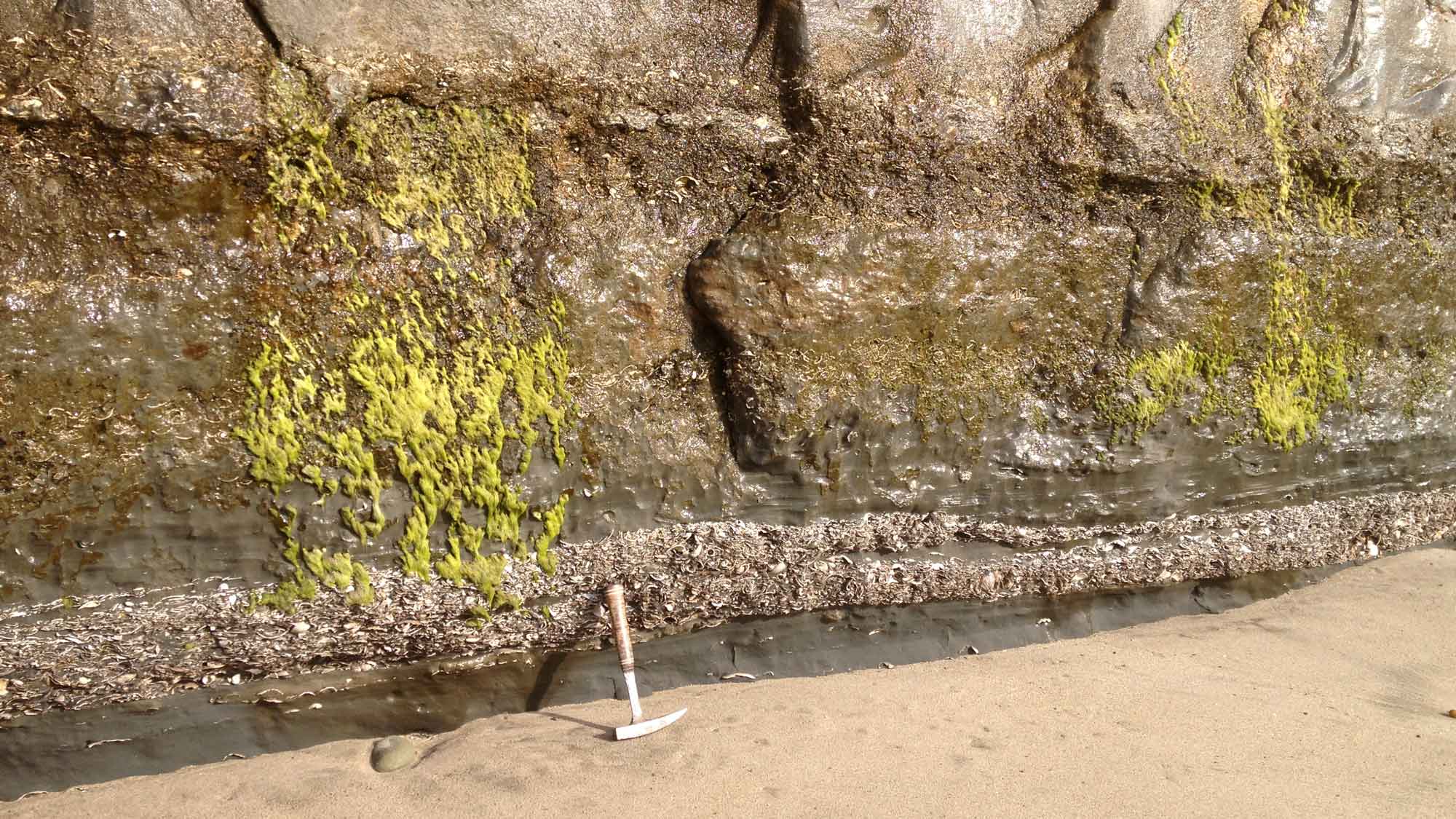
Central California Coast VFE
From the Eastern Pacific Invertebrate Communities of the Cenozoic (EPICC) Project collection VFEs.
Like the Kettleman Hills VFE above, this VFE uses ESRI Story Maps as a platform to explore sites important for their Cenozoic marine fossils, in this case Pliocene-aged fossiliferous strata exposed at Capitola Beach, Capitola, Santa Cruz County, California. While the Kettleman Hills VFE focuses more on deposits that are now in a dry inland environment, the deposits in the cliffs at Capitola Beach represent environments that are (relatively speaking) not greatly different than the marine environments immediately adjacent to them.
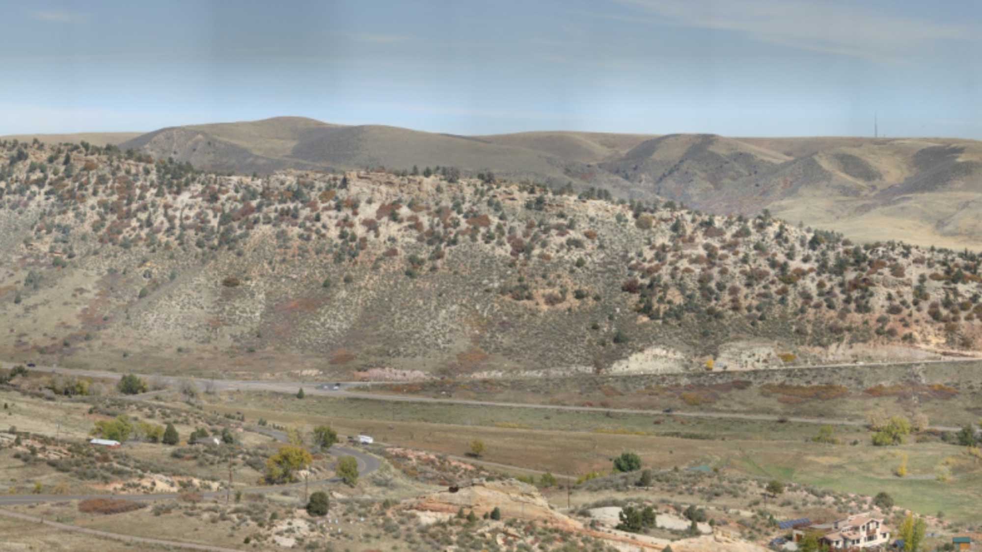
The Dinosaur Ridge & Ancient Denvers VFE
Created as part of the Regional and Local (ReaL) Earth Inquiry Project VFE.
The Dinosaur Ridge and Ancient Denvers VFE show how we can combine gigapixel-resolution images (GigaPans) and Google Earth files to interpret dinosaur behavior based on dinosaur tracks at a site in Colorado. The VFE complements a real-time experience in which teachers in Ithaca, NY participated remotely via videoconferencing in a field trip of the Geological Society of America annual conference.
Screenshot of a GigaPan image of Dinosaur Ridge captured by Don Haas.