

Page snapshot: Introduction to energy of Central Lowland region of the northwest-central United States, including fossil fuels, renewable energy, and nuclear power.
Topics covered on this page: Overview; Fossil fuels; Wind energy; Biofuels; Nuclear power; Resources.
Credits: Most of the text of this page comes from "Energy in the Northwest Central US" by Carlyn S. Buckler and Robert M. Ross, chapter 7 in The Teacher-Friendly Guide to the Earth Science of the Northwest Central US, edited by Mark D. Lucas, Robert M. Ross, and Andrielle N. Swaby (published in 2015 by the Paleontological Research Institution; currently out of print). The book was adapted for the web by Elizabeth J. Hermsen and Jonathan R. Hendricks in 2022. Changes include formatting and revisions to the text and images. Credits for individual images are given in figure captions.
Updates: Page last updated October 12, 2022.
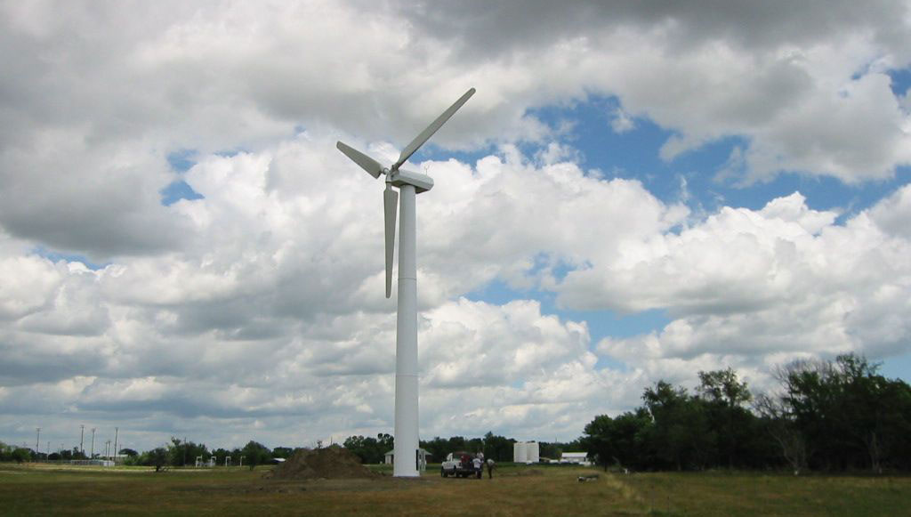
Image above: Wind turbine, Canova, South Dakota. Photo by Rural Learning Center (flickr, Creative Commons Attribution 2.0 Generic license).
Overview
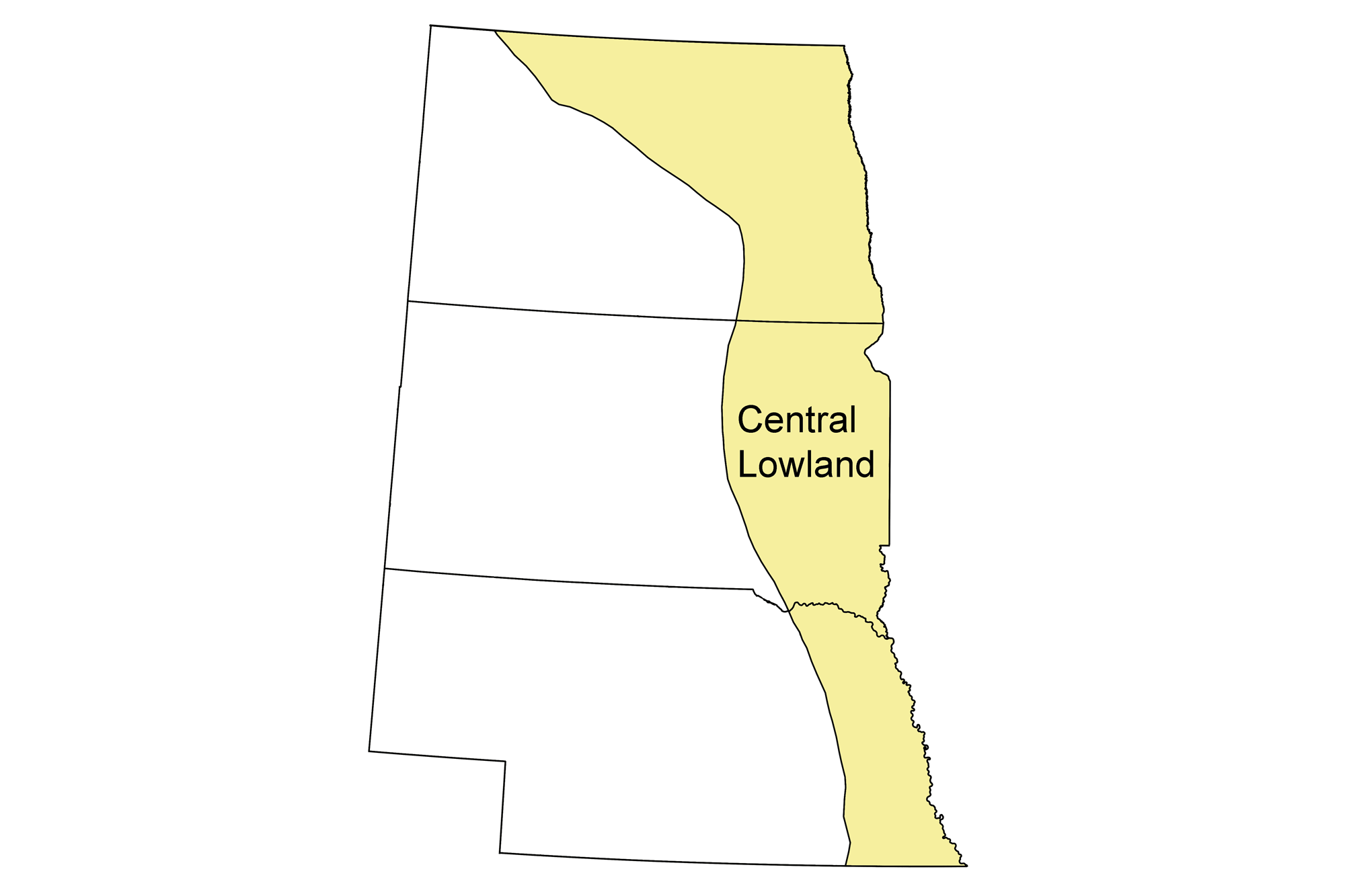
Due to its geological history, the Central Lowland is not a major producer of fossil fuels. In recent years, the region’s energy production has increased from two energy sources related to its topography: wind energy and corn-based ethanol. Even given these new sources, the Central Lowland of the northwest-central U.S. is not considered a center of production. Wind energy potential is even higher to the west in the Great Plains, and the bulk of corn production for ethanol occurs to the east, in the Midwestern U.S.
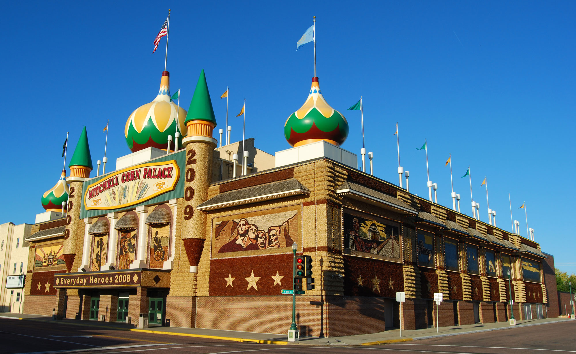
The Corn Palace in Mitchell, South Dakota, is decorated annually with corn and other crops and advertises the importance of agriculture to the region. Photo by Parkerdr (Wikimedia Commons, Creative Commons Attribution-ShareAlike 3.0 Unported license, image cropped and resized).
Fossil fuels
Fossil fuel production in the Central Lowland is primarily limited to a small part of the Forest City Basin in the southeast corner of Nebraska and the Salina Basin in south-central Nebraska.
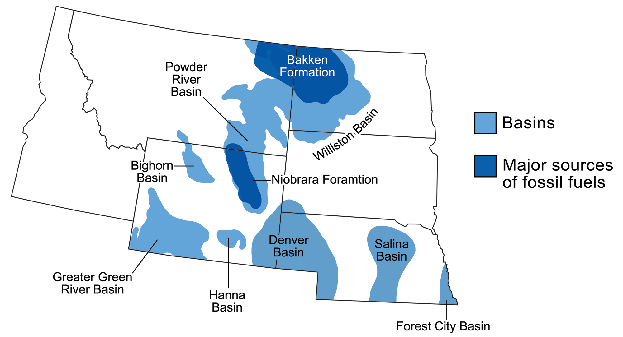
Sedimentary basins containing significant fossil fuel accumulations in the northwest-central U.S. Modified from a map by Wade Greenberg-Brand that was originally published in The Teacher-Friendly Guide to the Northwest Central US.
Wind energy
The Central Lowland and adjacent Great Plains regions, with their broad and flat topography, have become major sources of wind energy. North Dakota produces nearly two gigawatts of wind power, and its low population grants it the highest per capita generation of wind power in the country. Most of the state’s wind power is located in the Great Plains, which is discussed in greater detail in the next section of this chapter.
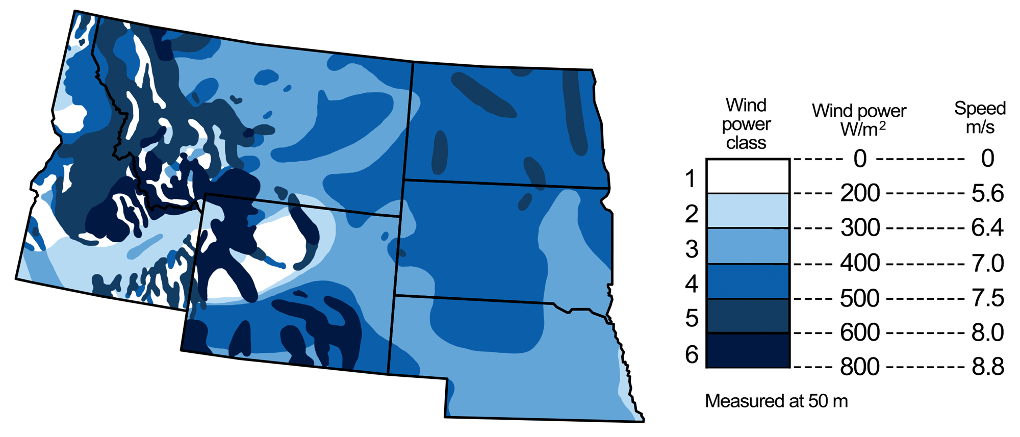
Wind energy potential in the northwest-central U.S. Map modified by a map by Wade Greenberg-Brand, adapted from image by National Renewable Energy Laboratory, originally published in The Teacher-Friendly Guide to the Earth Science of the Northwest Central US.
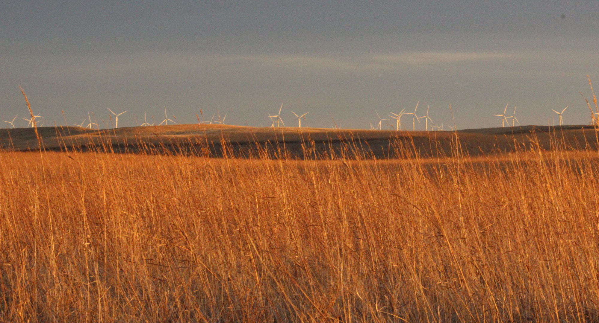
Wind turbines, Gruneich Waterfowl Production Area, North Dakota. Photo by Krista Lundgren, USFWS Mountain-Prairie (public domain).
Biofuels
Much of the Central Lowland is part of the “corn belt,” the largest corn-producing area in the U.S., which supports over a hundred-billion-dollar-a-year industry that helps feed the world and also produces plastics, biofuel, and livestock feed. In the northwest-central U.S., the corn belt has become a leading area for the production of corn-based biofuels. In fact, the processing and production of crops for biofuel has been expanding here since the 1980s. Corn ethanol is the most common liquid biofuel in the United States, with the majority blended into gasoline for use in passenger vehicles. About 40% of U.S.-grown corn is now used to produce ethanol.
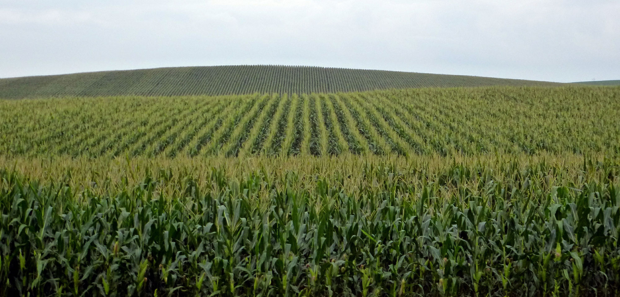
Original caption: "Cornfields near Winside, Nebraska." Photo by Ale Eminov (flickr, Creative Commons Attribution-NonCommercial 2.0 Generic license, image resized).
Nuclear power
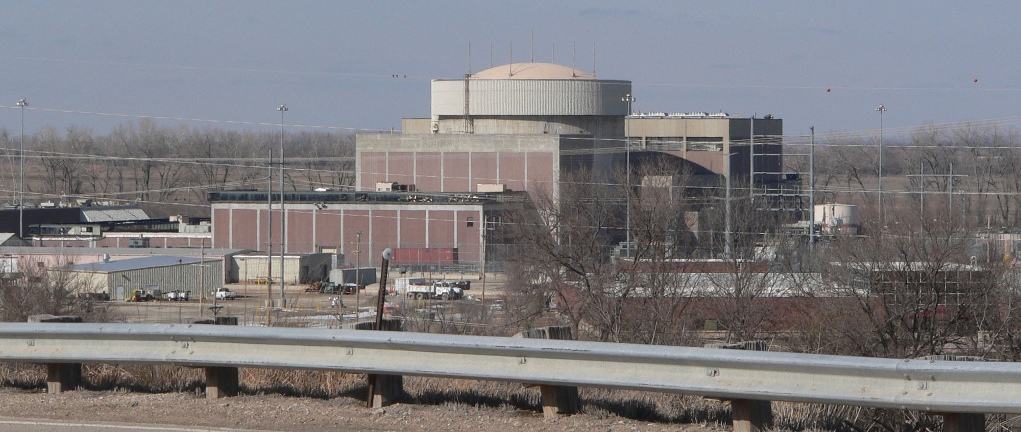
Only one nuclear power plants is currently operating in the Central Lowland, the Cooper Nuclear Station in Brownville, Nebraska. It is located near the Missouri River.
A second nuclear power plant that until recently operated along the Missouri River, Fort Calhoun Nuclear Generating Station, is now closed. The plant started generating power in 1973. In 2011, flooding along the Missouri River left the plant temporarily surrounded by water, and it was shut down for more than two years. The Fort Calhoun Station was permanently closed in 2016, primarily because the operator considered it no longer economically viable in the face of competition from other power sources and flat demand.
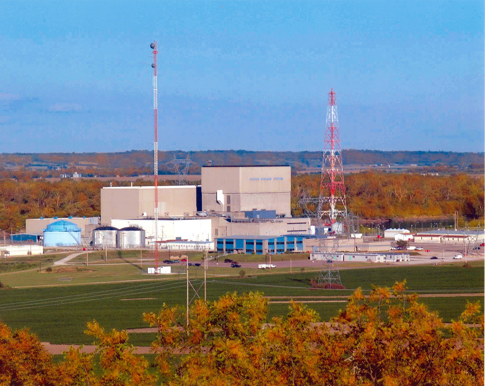
Cooper Nuclear Station, Brownville, Nebraska, 2007. Photo by Nuclear Regulatory Commission (flickr, Creative Commons Attribution-NonCommercial-NoDerivs 2.0 Generic license).
Fort Calhoun Nuclear Generating Station, Nebraska. This station is no longer operating. Photo by Ammondramus (Wikimedia Commons, CC0 1.0 Universal/public domain dedication).
Resources
Resources from the Paleontological Research Institution
Earth@Home: Earth Science of the Northeastern U.S. (energy in the Central Lowland region of New York): https://earthathome.org/hoe/ne/energy/
Earth@Home: Earth Science of the South-central U.S.: Energy in the Central Lowland and Interior Highlands (energy in the Central Lowland region of Arkansas, Kansas, Oklahoma, and Texas): https://earthathome.org/hoe/sc/energy-cl-ih
Earth@Home: Introduction to Energy: https://earthathome.org/hoe/energy