Page snapshot: Indiana State Geologic Map; Fossil; 3D models; Rock; Mineral; Gem; Highest and Lowest Elevations; Places to Visit; and Additional Resources.
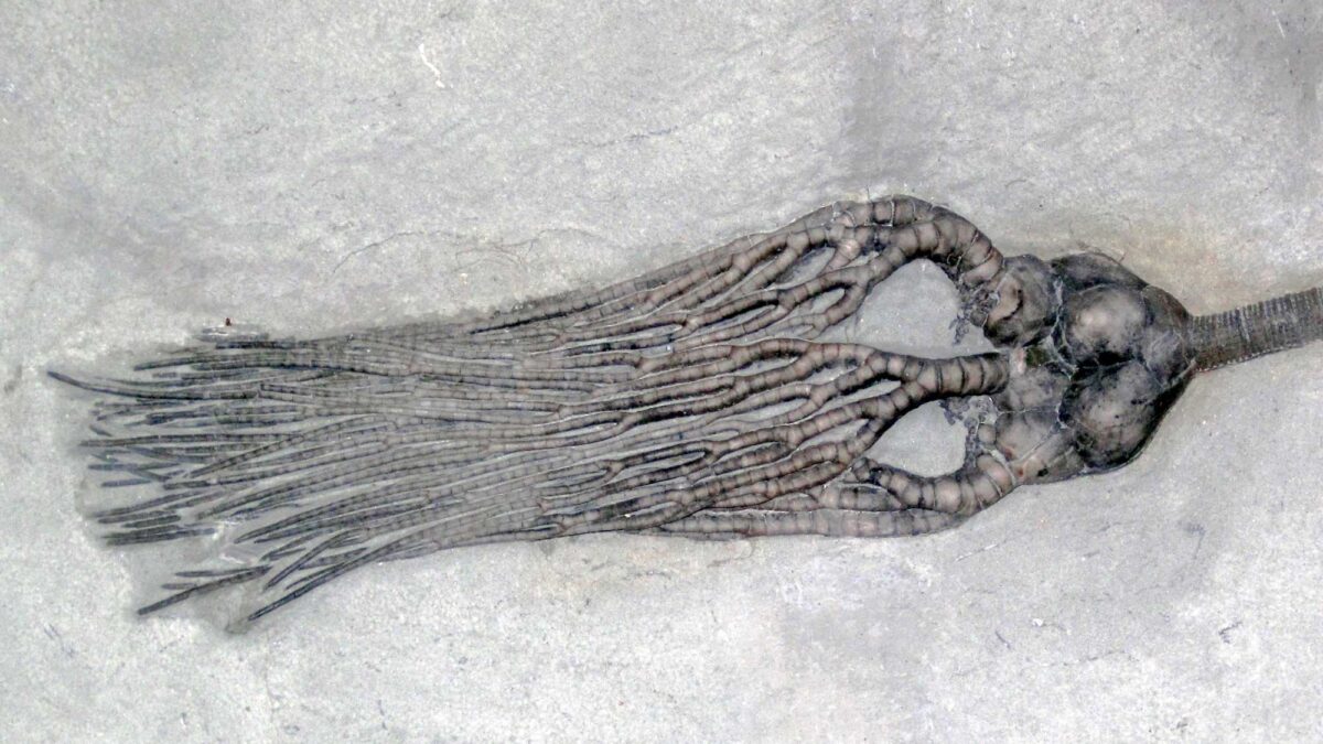
Image above: A crinoid fossil from the Mississippian of Indiana. Photograph by James St. John (Flickr; Creative Commons Attribution 2.0 Generic license; cropped and resized).
Geologic Map of Indiana
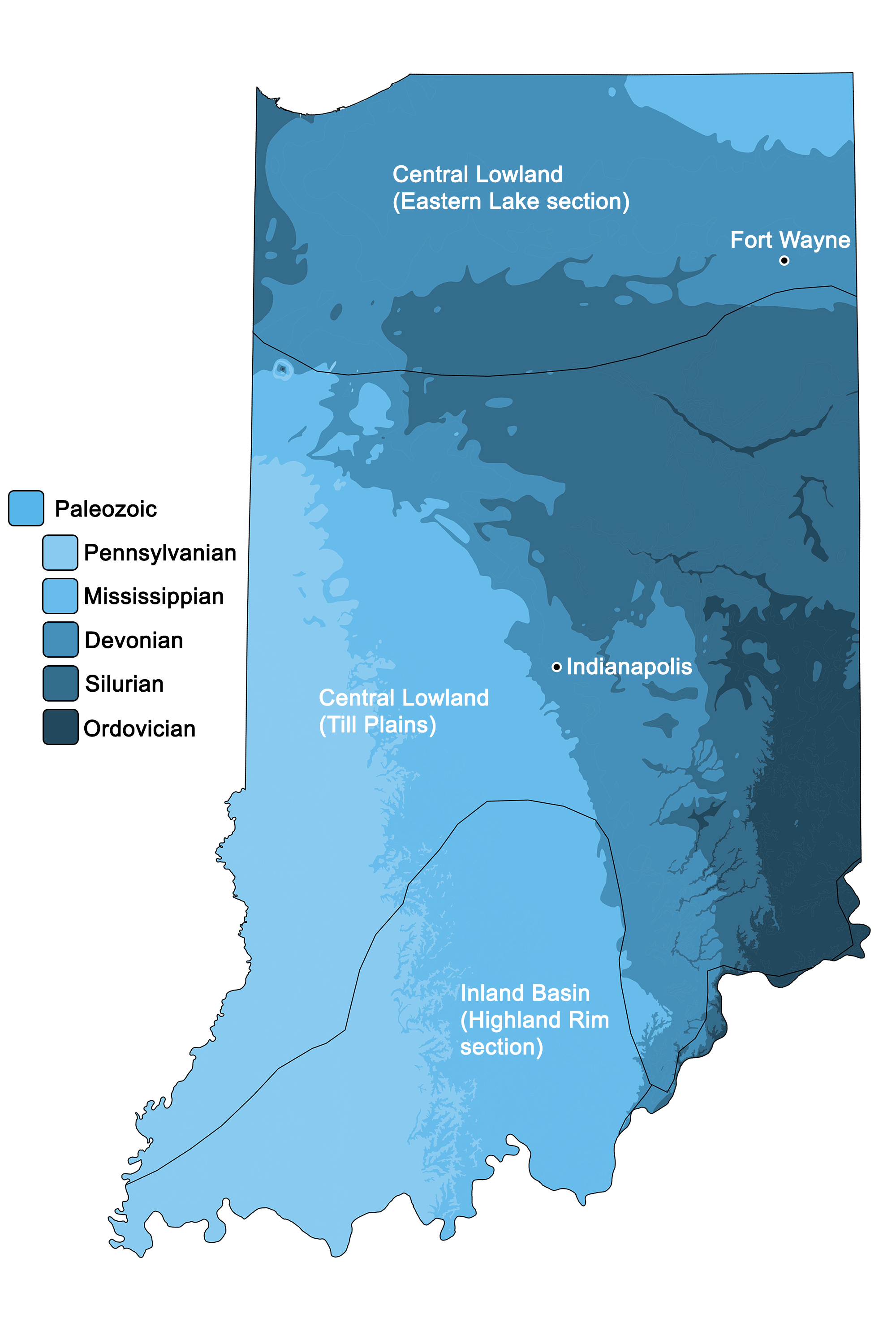
Geologic map of Indiana showing maximum ages of mappable units. Image by Jonathan R. Hendricks for the Earth@Home project developed using QGIS and USGS data (public domain) from Fenneman and Johnson (1946) and Horton et al. (2017).
Indiana State Fossil: American Mastodon
The American mastodon (Mammut americanum) became the official state fossil of Indiana in 2022.
"Mastodon bones found on Southern Indiana farmland" by WHAS11 (Youtube).
3D Models of fossils from Indiana
Fossil crinoid Actinocrinites gibsoni from the Carboniferous (Mississippian) Edwardsville Formation of Montgomery County, Indiana (PRI 78779). A feeding gastropod, Platyceras (Orthonychia) equilaterum, is associated with this specimen (PRI 78780). Specimen is from the research collection of the Paleontological Research Institution, Ithaca, New York. Length of crinoid is approximately 10 cm.
Fossil specimen of the crinoid Agaricocrinus americanus from the Mississippian Edwardsville Formation of Montgomery County, Indiana (PRI 70601). Also present is a small, parasitic gastropod called Palaeocapulus equilateralis. Specimen is from the collections of the Paleontological Research Institution, Ithaca, New York. Length of crinoid is approximtely 10 cm.
Fossil brachiopod specimen of Platystrophia cypha from the Ordovician Waynesville Formation of Indiana (PRI 76923). Specimen is from the collections of the Paleontological Research Institution, Ithaca, New York. Longest dimension of specimen is approximately 3.5 cm.
Fossil specimen of the brachiopod Rafinesquina alternata (as well as several additional brachiopods) from the Ordovician (Cincinnatian) of Union County, Indiana (PRI 42140). Specimen is from the research collections of the Paleontological Research Institution, Ithaca, New York. Length of rock is approximately 11 cm.
Indiana State Rock: Salem Limestone
Salem limestone is a high-quality building material that may be seen in the facades of buildings from the Empire State Building to the Pentagon to Yankee Stadium. It has also been used in the construction of scores of university and government buildings throughout the country.
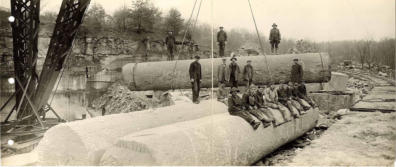
Workers quarrying Salem Limestone, which is also known as Indiana Limestone, Bedford, Indiana, ca. 1924. Photograph from the Indiana State Library and Historical Bureau (Wikimedia Commons; public domain).
Indiana State Mineral: None
Indiana does not yet have an official state mineral.
Indiana State Gem: None
Indiana does not yet have an official state gem.
Indiana's Highest and Lowest Elevations
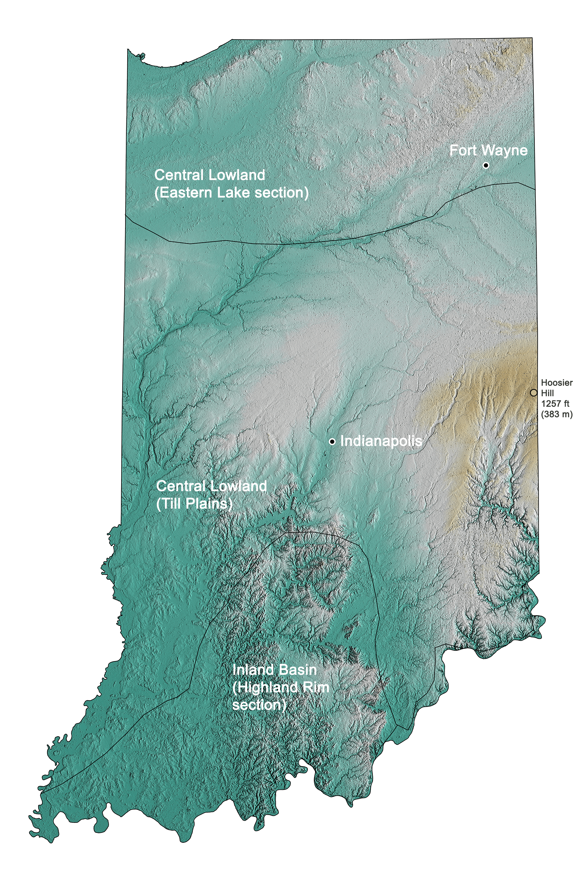
Topographic map of Indiana with physiographic regions and point of highest elevation identified. Topographic data are derived from the Shuttle Radar Topography Mission (SRTM GL3) Global 90m (SRTM_GL3) (Farr, T. G., and M. Kobrick, 2000, Shuttle Radar Topography Mission produces a wealth of data. Eos Trans. AGU, 81:583-583).
Highest Elevation: Hoosier Hill
Extreme eastern Indiana is home to Hoosier Hill, which, at 383 meters (1257 feet), is the state’s highest point.
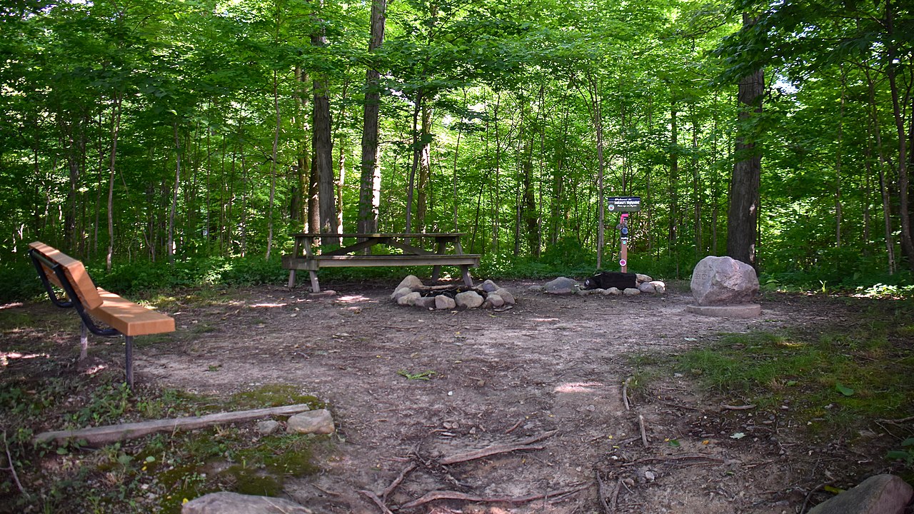
The summit of Hoosier Hill, Indiana. Photograph by Skye Marthaler (Wikimedia Commons; Creative Commons Attribution-Share Alike 4.0 International license).
Lowest Elevation: Ohio and Wabash Rivers
The confluence of the Ohio and Wabash Rivers is Indiana’s lowest point at 97 meters (320 feet).
Places to Visit
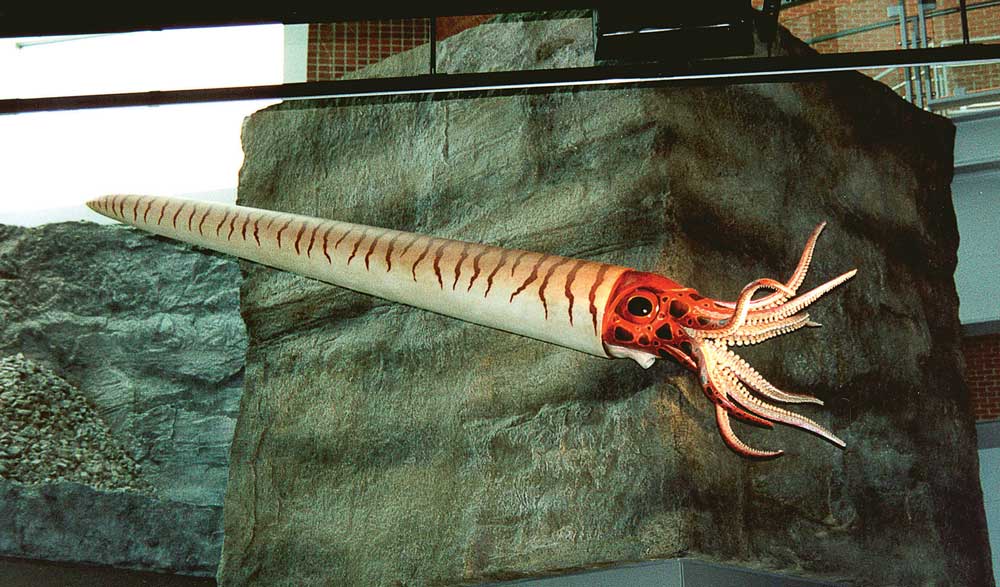
Reconstruction of an ancient cephalopod at the Indiana State Museum. Photograph by Taylor Studios, Inc. (Flickr; Creative Commons Attribution-NonCommercial 2.0 Generic license).
Falls of the Ohio State Park
Clarksville, Indiana. Explore Devonian-aged fossils in the field.
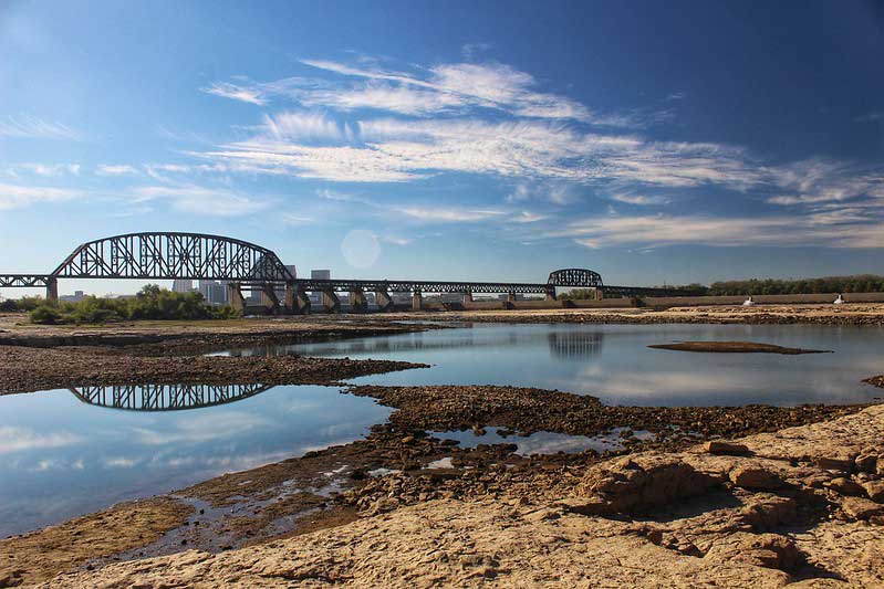
Falls of the Ohio (as viewed from Kentucky). Photograph by Jonathan Parrish (Flickr; Creative Commons Attribution-NonCommercial-NoDerivs 2.0 Generic license).
Additional resources
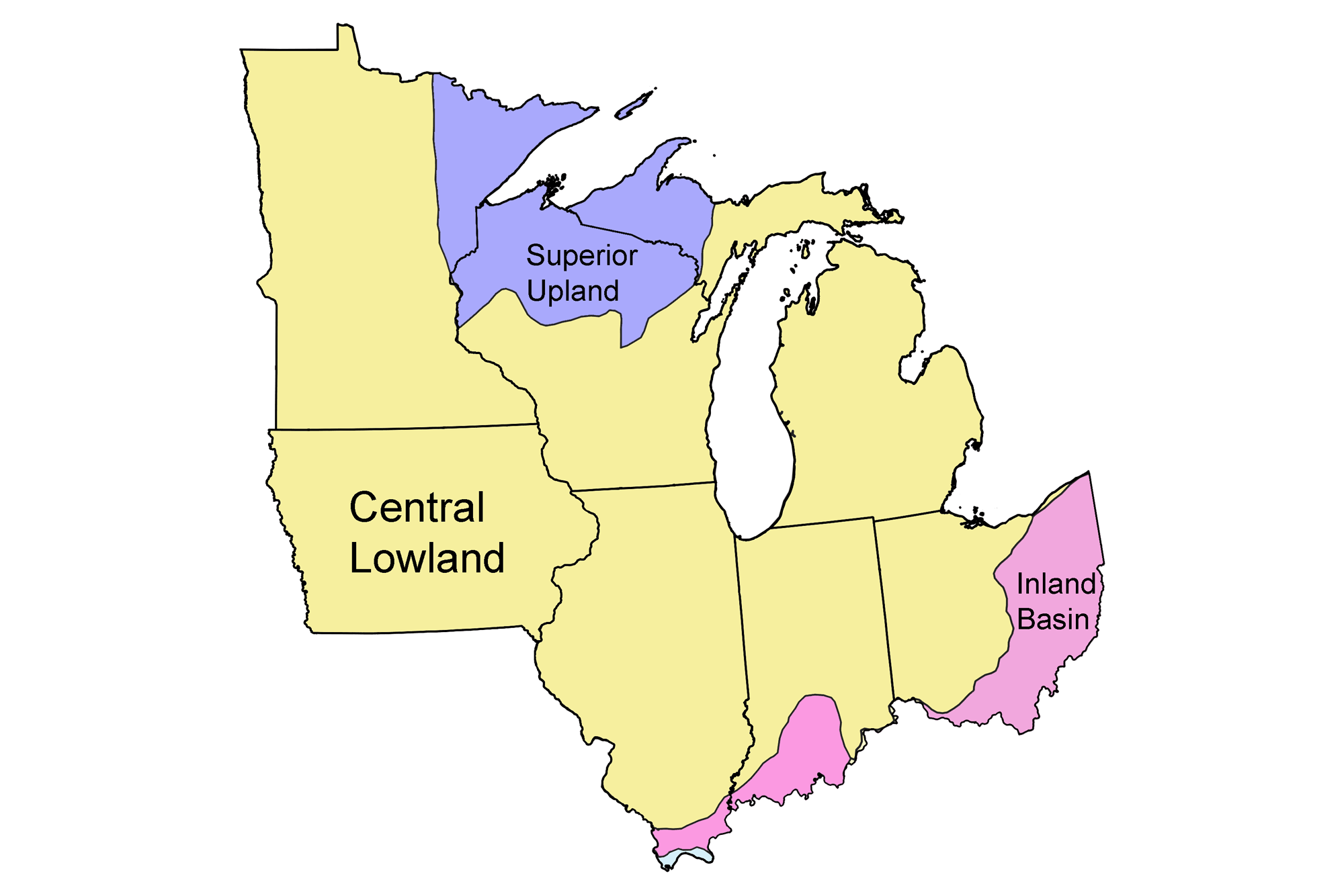
Earth@Home resources about Indiana and nearby states:
- Rocks: Superior Upland, Central Lowland, and Inland Basin
- Fossils: Superior Upland, Central Lowland, and Inland Basin
- Topography: Superior Upland, Central Lowland, and Inland Basin
- Mineral Resources: Superior Upland, Central Lowland, and Inland Basin
Earth@Home resources about the Midwest region of the United States:


