Page snapshot: Wisconsin State Geologic Map; Fossil; 3D models; Rock; Mineral; Gem; Highest and Lowest Elevations; Places to Visit; and Additional Resources.
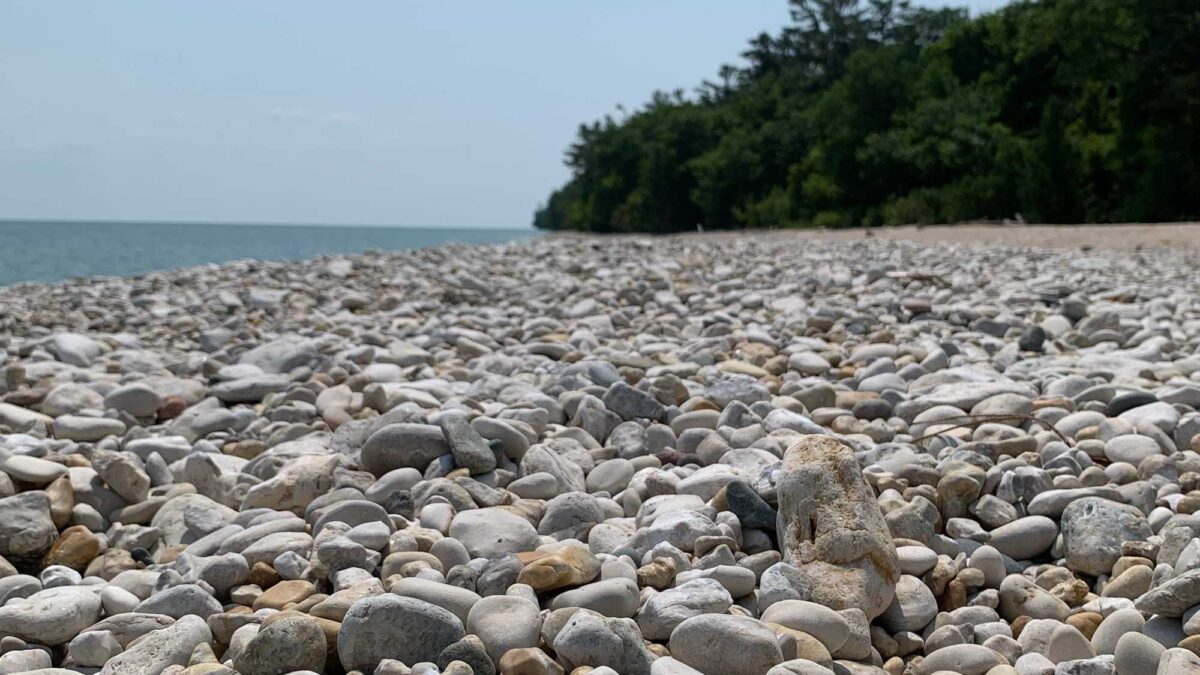
Image above: Glacial cobbles of fossiliferous Silurian dolostone on a beach in Door County, Wisconsin. Photograph by Jonathan R. Hendricks.
Geologic Map of Wisconsin
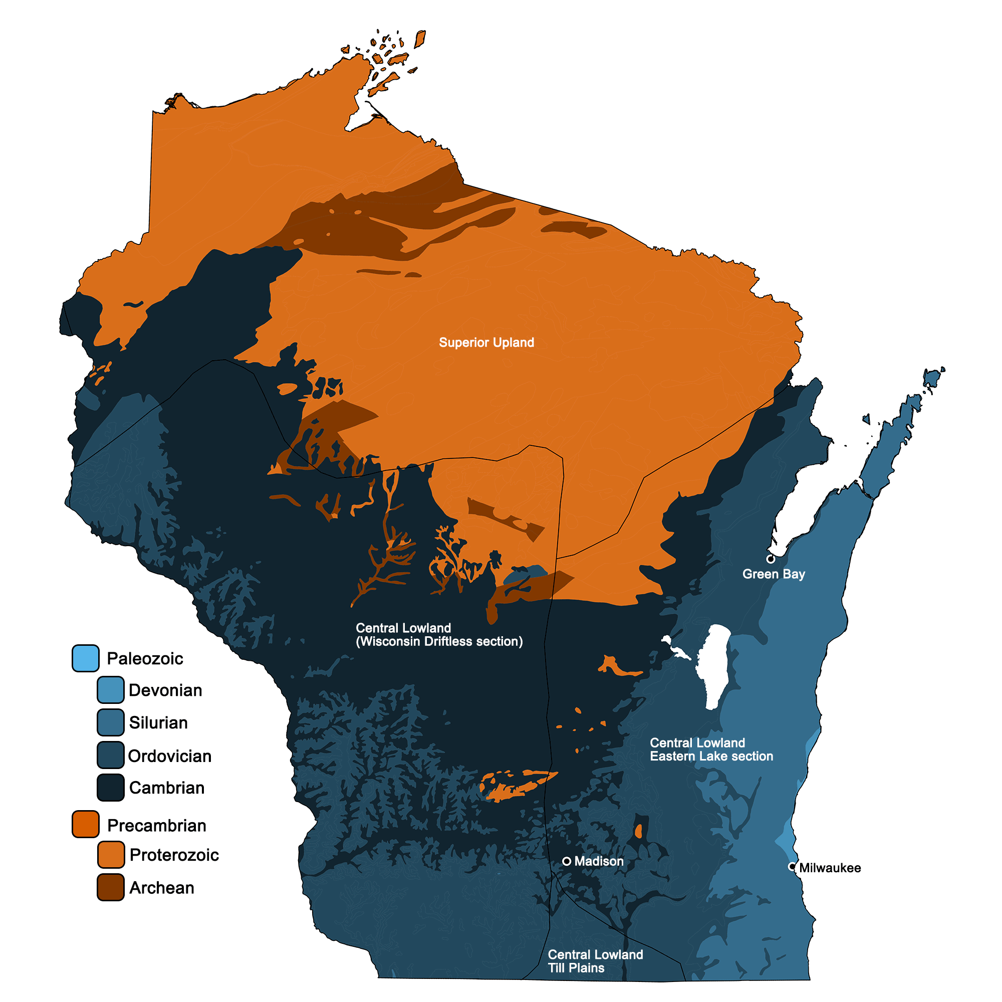
Geologic map of Wisconsin showing maximum ages of mappable units. Image by Jonathan R. Hendricks for the Earth@Home project developed using QGIS and USGS data (public domain) from Fenneman and Johnson (1946) and Horton et al. (2017).
Wisconsin State Fossil: Trilobite
Wisconsin's official state fossils is the Silurian trilobite Gravicalymene celebra (formerly called Calymene celebra).
Fossil specimen of the trilobite Calymene celebra from the Silurian Niagara Series of Milwaukee, Wisconsin (PRI 42100). Specimen is from the collections of the Paleontological Research Institution, Ithaca, New York. Specimen is approximately 4 cm in length.
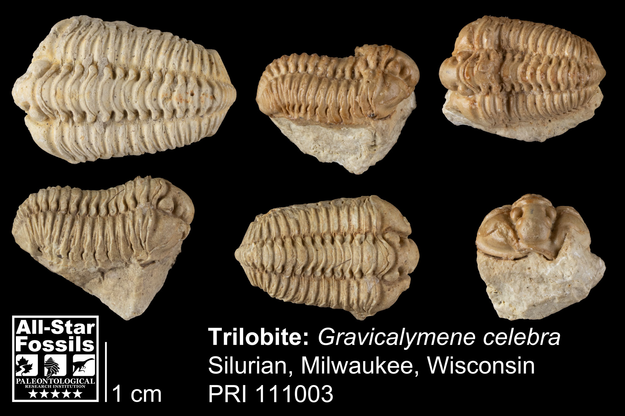
Specimens of the trilobite Gravicalymene celebra from the Silurian of Milwaukee, Wisconsin (PRI 111003). Specimens from the collections of the Paleontological Research Institution, Ithaca, New York.
3D Models of fossils from Wisconsin
Favosites, a tabulate coral fossil from the Silurian of Wisconsin. Longest dimension of specimen is approximately 16 cm.
Specimens of the inarticulate brachiopod Obolus matinalis from the Cambrian of Polk County, Wisconsin (PRI 76740). Specimens are from the collections of the Paleontological Research Institution, Ithaca, New York. Longest dimension of specimen is approximately 7 cm.
Wisconsin State Rock: Red granite
Red granite is mined in northern Wisconsin and, depending on its quality, is used to make products from countertops to gravel. It was formed around 1.85 billion years ago when an island arc crashed into the Superior Upland.
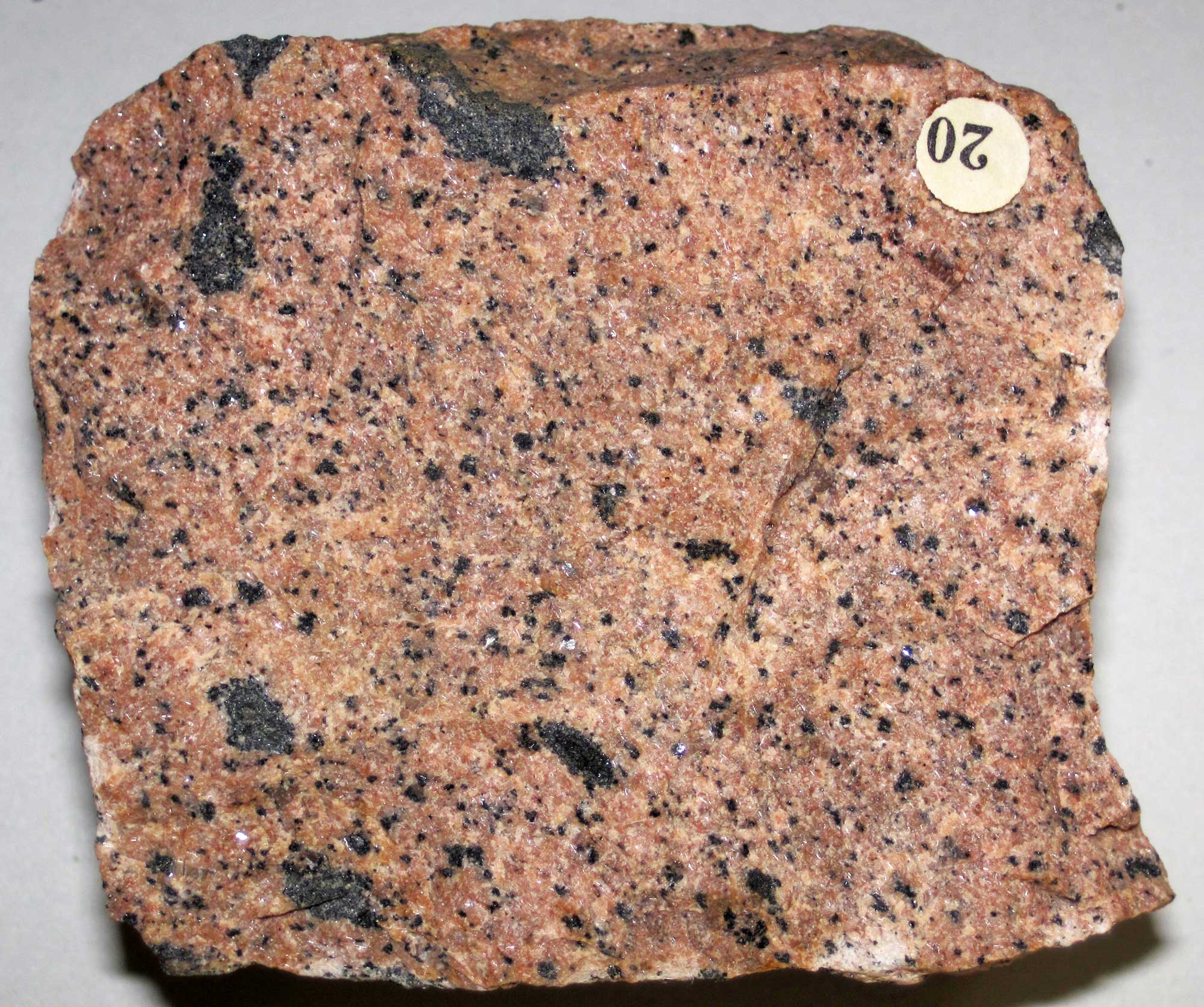
Proterozoic-aged red granite from Wausau, Wisconsin. Photograph by James St. John (Flickr; Creative Commons Attribution 2.0 Generic license; image resized).
Wisconsin State Mineral: Galena
Galena played an important role in the founding of the state of Wisconsin because European settlers mined it as a lead ore.
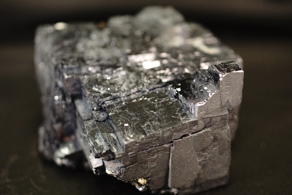
Sample of the mineral galena from Reynolds County, Missouri. Photograph by "Tjflex2" (Flickr; Creative Commons Attribution-NoDervis 2.0 Generic license).
Wisconsin State Gem: None
Wisconsin does not yet have an official state gem.
Wisconsin's Highest and Lowest Elevations
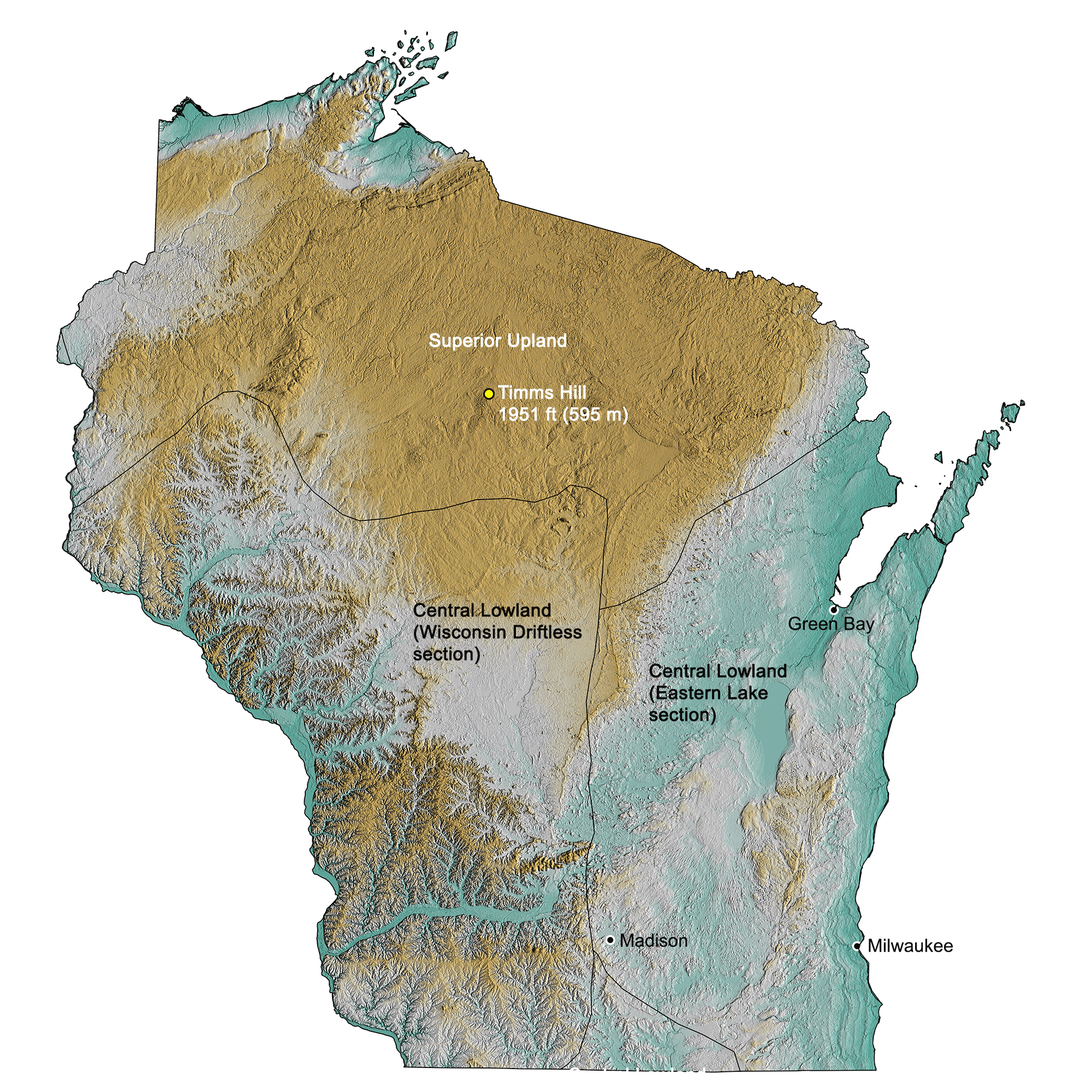
Topographic map of Wisconsin with physiographic regions and point of highest elevation identified. Topographic data are derived from the Shuttle Radar Topography Mission (SRTM GL3) Global 90m (SRTM_GL3) (Farr, T. G., and M. Kobrick, 2000, Shuttle Radar Topography Mission produces a wealth of data. Eos Trans. AGU, 81:583-583).
Highest Elevation: Timms Hill
At 595 meters (1951 feet) above sea level, Timms Hill, located in the northern central part of Wisconsin, is the highest point in the state.
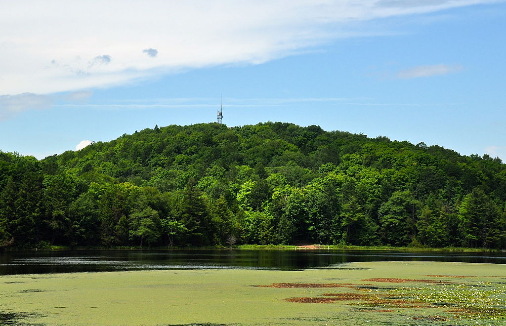
Timms Hill, the point of highest elevation in Wisconsin. Photograph by Skye Marthaler (Wikimedia Commons; Creative Commons Attribution-Share Alike 3.0 Unported license).
Lowest Elevation: Lake Michigan
The state’s lowest elevation is Lake Michigan at 177 meters (581 feet).
Places to Visit
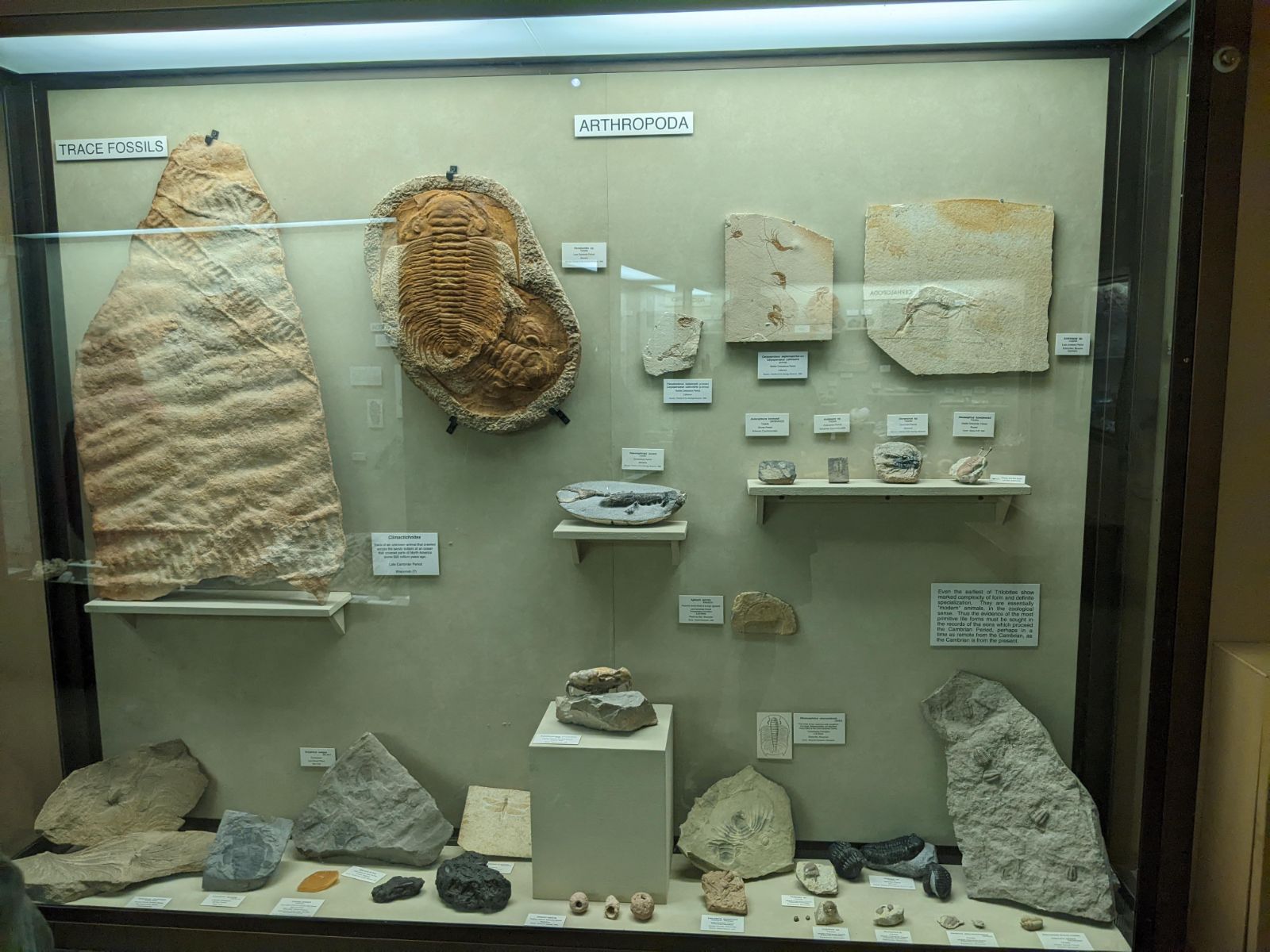
Fossils on display at the University of Wisconsin Geology Museum. Photograph by Ashley Hendricks.
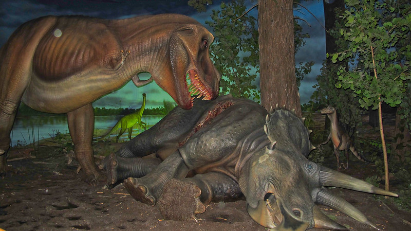
Dinosaur display at the Milwaukee Public Museum. Photograph by Ed Bierman (Flickr; Creative Commons Attribution 2.0 Generic license).
Additional resources
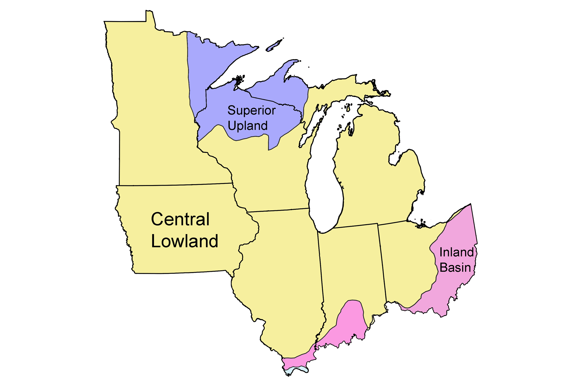
Earth@Home resources about Wisconsin and nearby states:
- Rocks: Superior Upland, Central Lowland, and Inland Basin
- Fossils: Superior Upland, Central Lowland, and Inland Basin
- Topography: Superior Upland, Central Lowland, and Inland Basin
- Mineral Resources: Superior Upland, Central Lowland, and Inland Basin
Earth@Home resources about the Midwest region of the United States:


