Page snapshot: Connecticut State Geologic Map; Fossil; 3D models; Rock; Mineral; Gem; Highest and Lowest Elevations; Places to Visit; and Additional Resources.
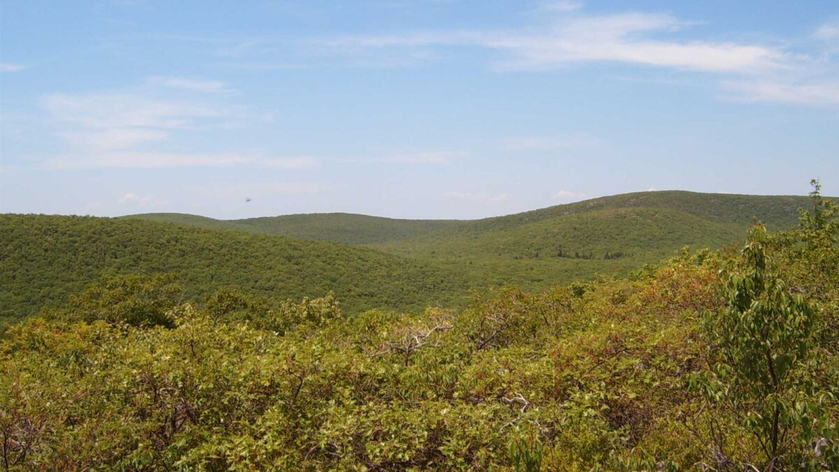
Image above: Mount Frissell (right), the highest point in Connecticut, as viewed from Bear Mountain. Photograph by "Heatkernel" (Wikimedia Commons; public domain; image cropped and resized).
Geologic Map of Connecticut
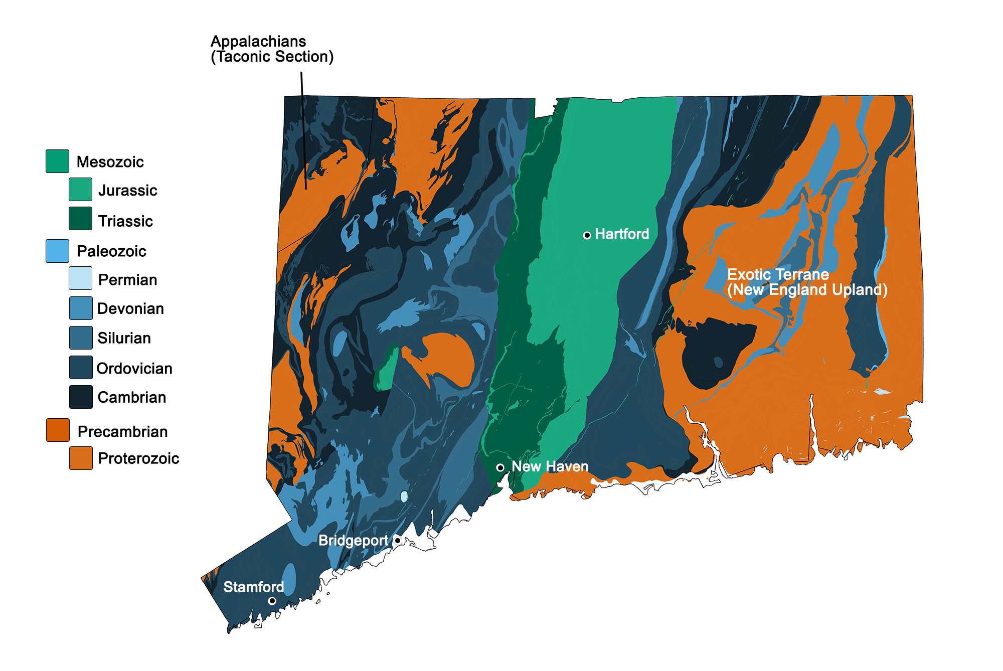
Geologic map of Connecticut showing maximum ages of mappable units. Image by Kiera D. Crowley for the Earth@Home project developed using QGIS and USGS data (public domain) from Fenneman and Johnson (1946) and Horton et al. (2017).
Connecticut State Fossil: Dinosaur Tracks
The state fossil of Connecticut is Eubrontes, which is a type of dinosaur footprint that is found in the Triassic to Jurassic rocks of the Newark Supergroup in the Northeast. Examples of these footprints are preserved under a dome at Dinosaur State Park in Connecticut. Fossils of the prosauropod dinosaur Anchisaurus polyzelus, which may have made the Eubrontes tracks in the Northeast, have been found in Connecticut and Massachusetts.
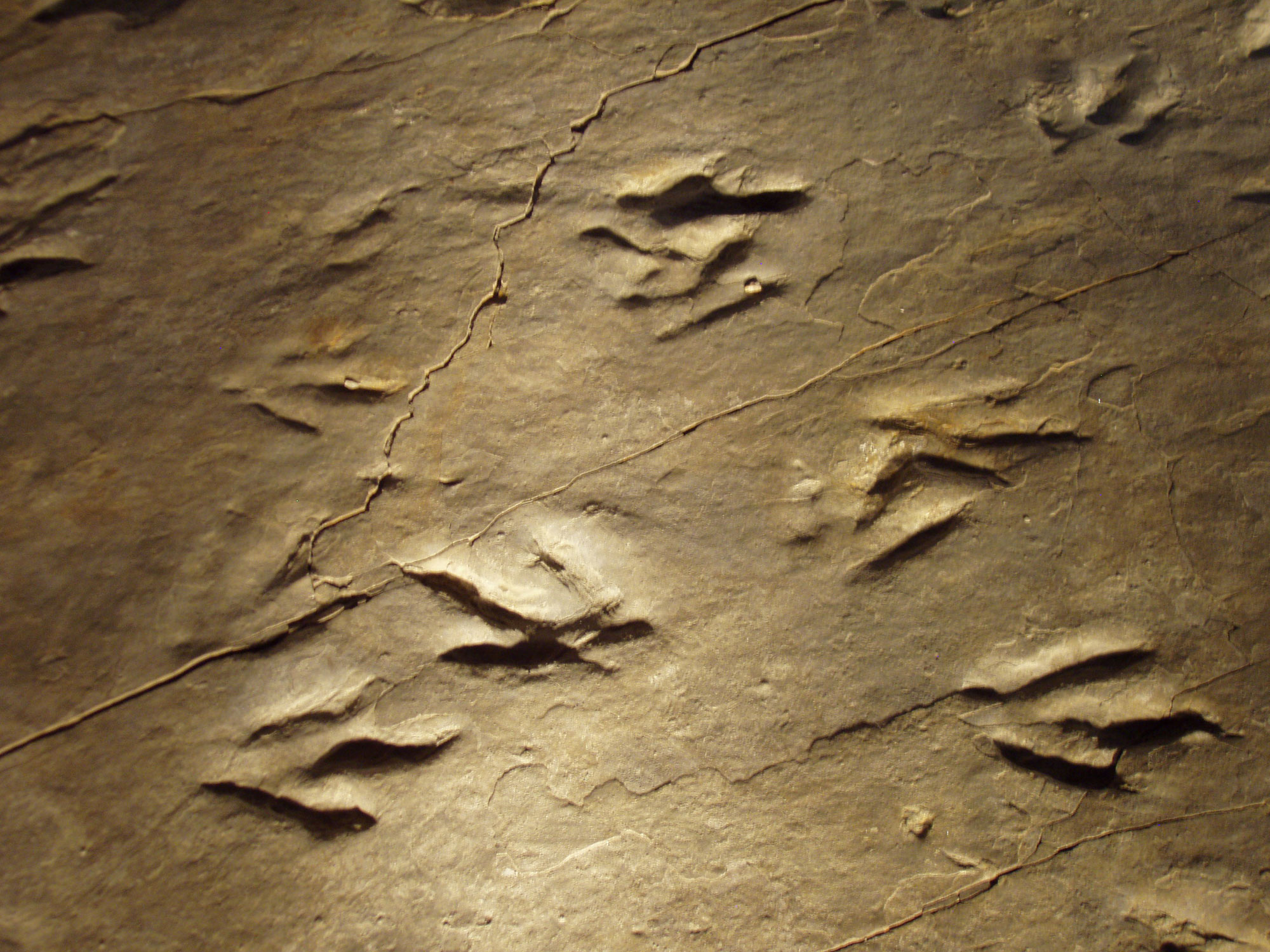
Eubrontes tracks at Dinosaur State Park in Connecticut. Photo by Daderot (Wikimedia Commons, Creative Commons Attribution-ShareAlike 3.0 Unported license).
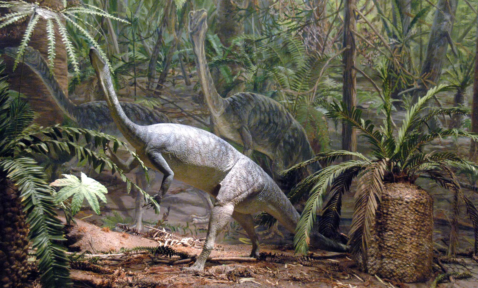
Mural depicting Anchisaurus from the Lower Jurassic of the Newark Supergroup, Dinosaur State Park, Connecticut. Anchisaurus bones have been found in both Connecticut and Massachusetts. Photo by JERRYE AND ROY KLOTZ MD (Wikimedia Commons, Creative Commons Attribution-ShareAlike 3.0 Unported license).
3D Models of fossils from Connecticut
Fossil fish (semionotid) from the Triassic or Jurassic of Connecticut (PRI 53568). Specimen is from the research collections of the Paleontological Research Institution, Ithaca, New York. Fish is approximately 12.5 cm in length. Model by Emily Hauf.
Fossil specimen of the dinosaur footprint Grallator sp. from the Jurassic of Connecticut (PRI 40798); footprint likely made by the dinosaur Coelophysis. Specimen is from the collections of the Paleontological Research Institution, Ithaca, New York. Length of footprint (not including surrounding rock) is approximately 13 cm. Model by Emily Hauf.
Connecticut State Rock: None
Connecticut does not yet have an official state rock.
Connecticut State Mineral: Almadine garnet
The state mineral of Connecticut, designated in 1977, is almadine garnet. Garnet was historically extracted in Connecticut to make abrasives.
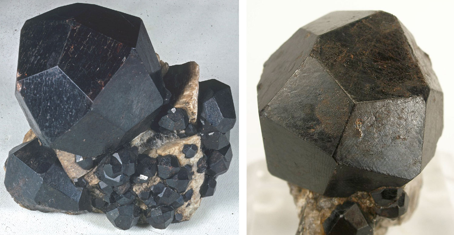
Amadine garnet from Russell Garnet Mine in nearby Massachusetts. Left photo by Rock Currier (Wikimedia Commons, Creative Commons Attribution 3.0 Unported license); right photo by Robert M. Lavinsky (Wikimedia Commons, Creative Commons Attribution-ShareAlike 3.0 Unported license); images cropped.
Connecticut State Gem: None
Connecticut does not yet have an official state gem.
Connecticut's Highest and Lowest Elevations
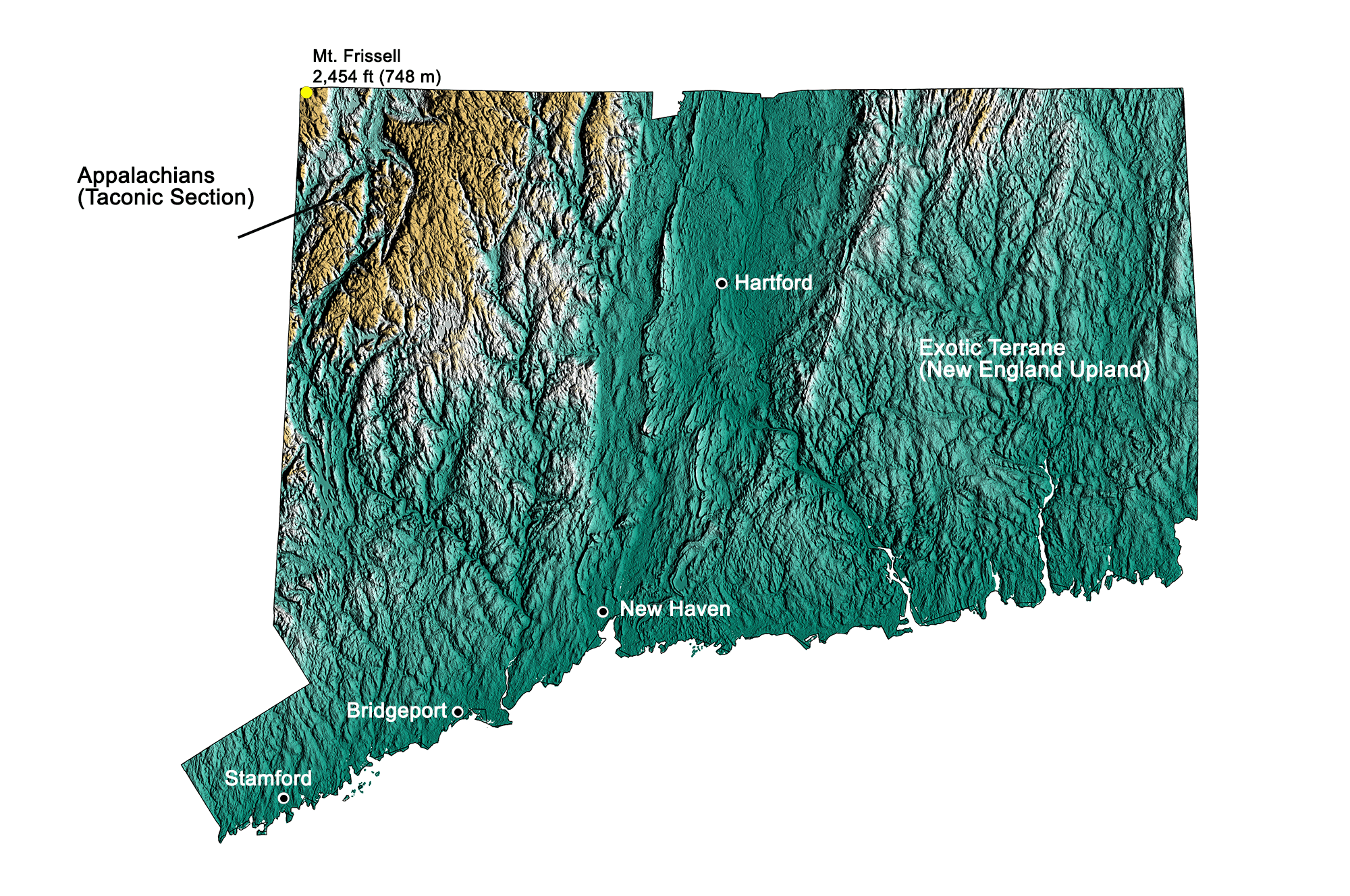
Topographic map of Connecticut with physiographic regions and point of highest elevation identified. Topographic data are derived from the Shuttle Radar Topography Mission (SRTM GL3) Global 90m (SRTM_GL3) (Farr, T. G., and M. Kobrick, 2000, Shuttle Radar Topography Mission produces a wealth of data. Eos Trans. AGU, 81:583-583). Image by Kiera D. Crowley for the Earth@Home project.
Highest Elevation: Mt. Frissell
Mt. Frissel, Connecticut's highest point at 748 meters (2454 feet) above sea level, is located in the state's extreme northwest.
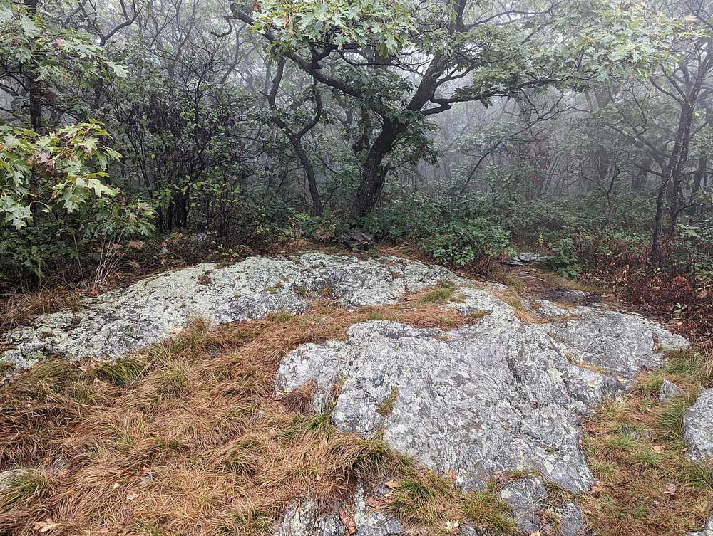
The summit of Mount Frissell in northwestern Connecticut. Photograph by "Purplepumpkins" (Wikimedia Commons; Creative Commons Attribution-Share Alike 4.0 International license; image resized).
Lowest Elevation: Atlantic Coast
Connecticut's lowest points are along its Atlantic coastline, where the shore is at sea level.
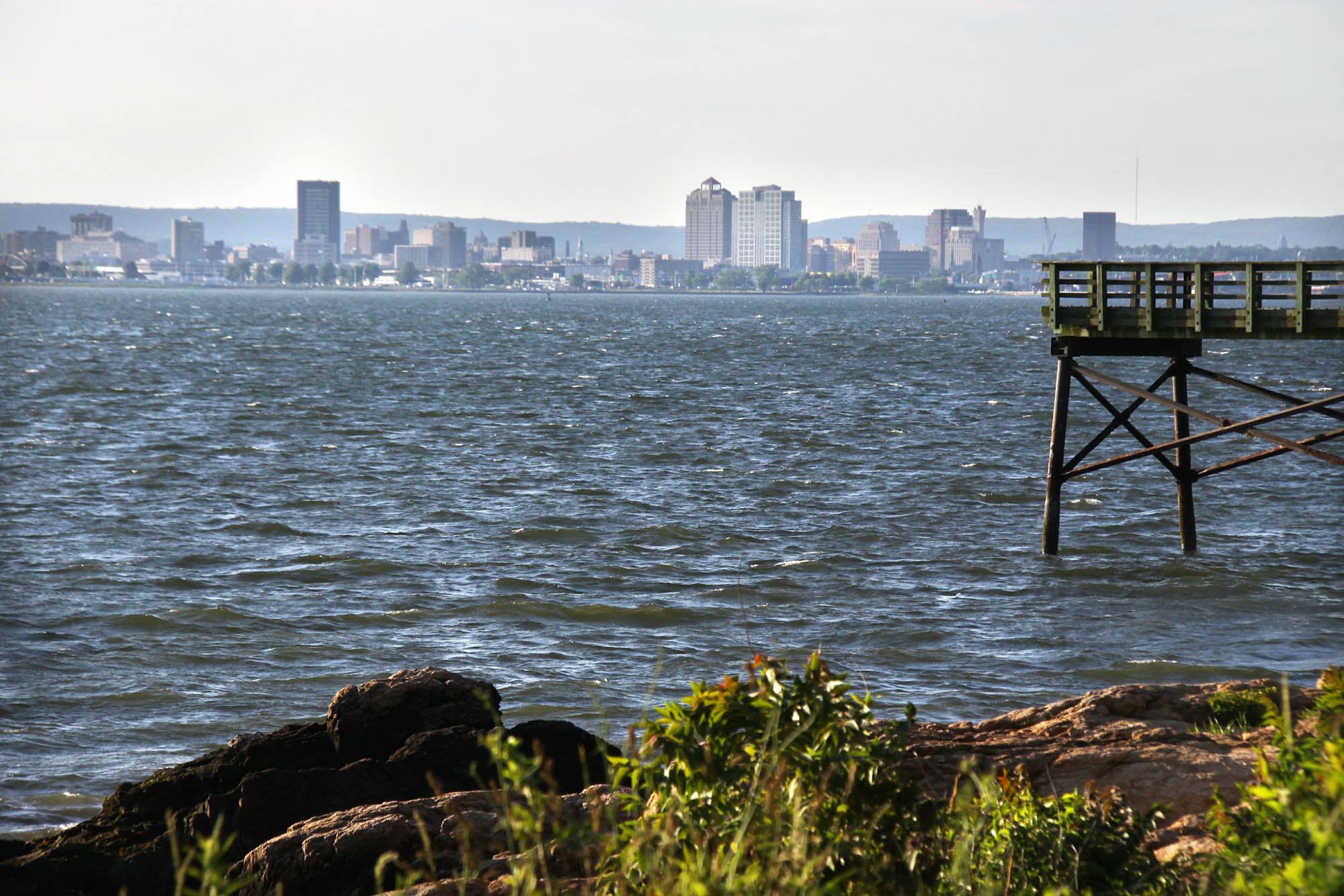
The skyline of New Haven, Connecticut, on the shore of the Atlantic. Photo by M. G. (Flickr; Creative Commons Attribution-NonCommercial 2.0 Generic license; image resized).
Places to Visit
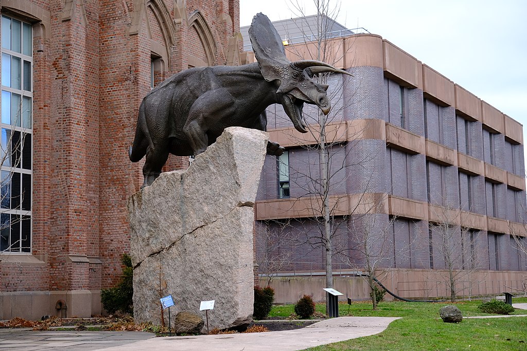
The Yale Peabody Museum of Natural History. Photograph by Tosh Chiang (Wikimedia Commons; Creative Commons Attribution 2.0 generic license; image resized).
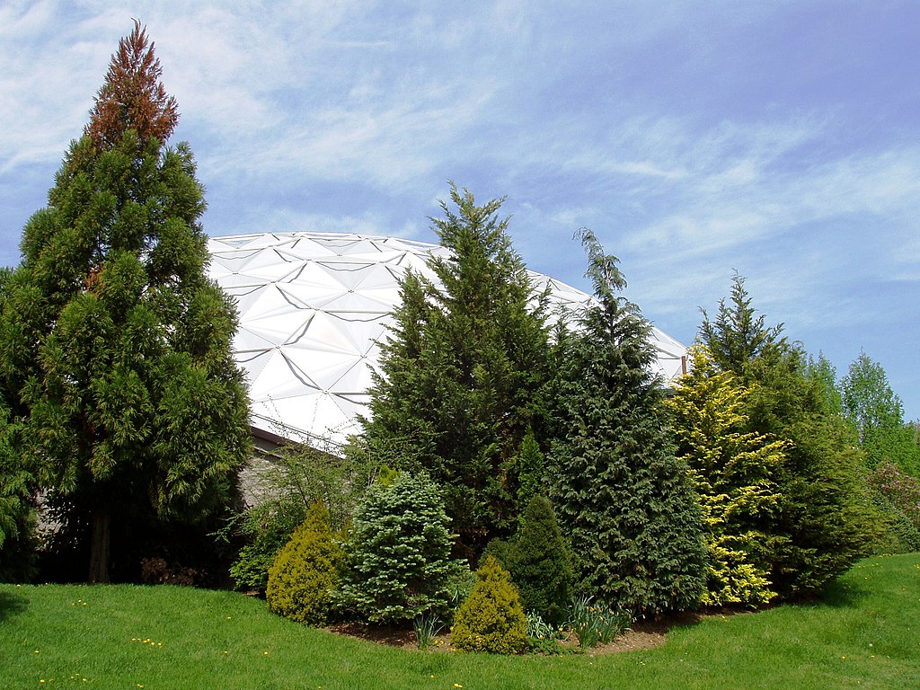
Geodesic dome at Dinosaur State Park. Photograph by "Daderot" (Wikimedia Commons; Creative Commons Attribution-Share Alike 3.0 Unported license; image resized).
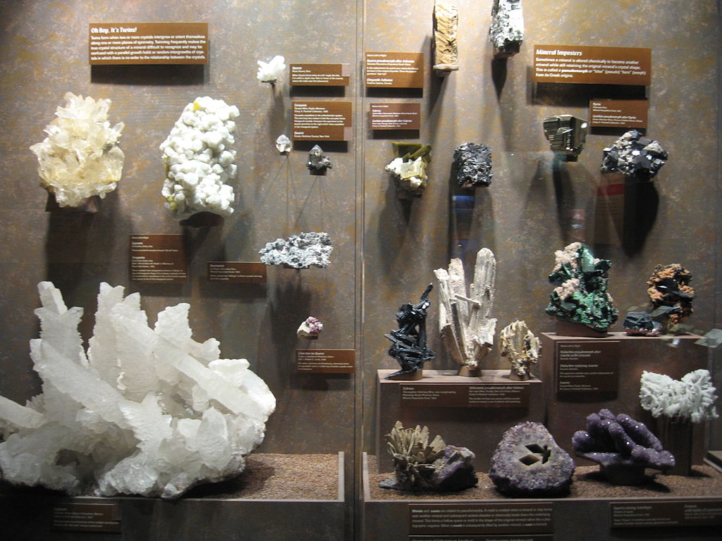
Mineral specimens on display at the Bruce Museum. Photograph by "Jllm06" (Wikimedia Commons; public domain; image resized).
Additional resources

Earth@Home resources about Connecticut and nearby states:
- Rocks: Central Lowland, Inland Basin, Appalachians and Piedmont, Coastal Plain, and Exotic Terrane.
- Fossils: Central Lowland, Inland Basin, Appalachians and Piedmont, Coastal Plain, and Exotic Terrane.
- Topography: Central Lowland, Inland Basin, Appalachians and Piedmont, Coastal Plain, and Exotic Terrane.
- Mineral Resources: Central Lowland, Inland Basin, Appalachians and Piedmont, Coastal Plain, and Exotic Terrane.
Earth@Home resources about the northeastern region of the United States:


