

Page snapshot: Delaware State Geologic Map; Fossil; Rock; Mineral; Gem; Highest and Lowest Elevations; Places to Visit; and Additional Resources.
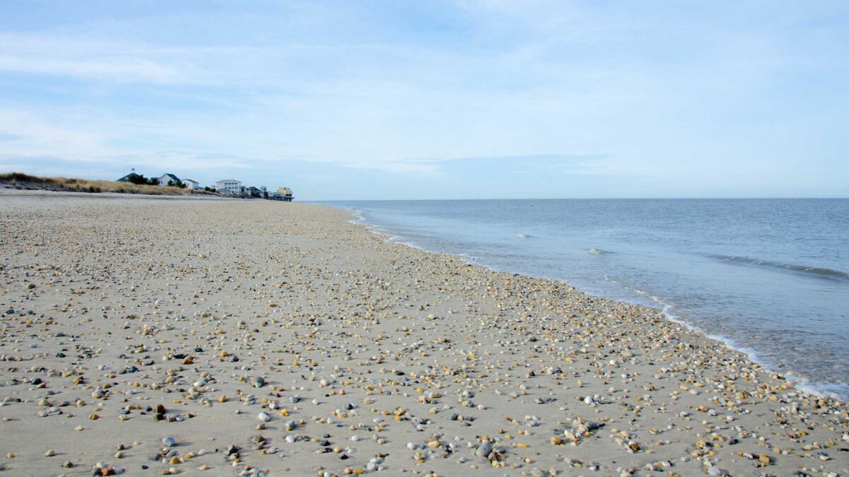
Image above: Broadkill Beach in Delaware, which meets the Atlantic Ocean; photograph by Katie Yaeger Rotramel (Flickr; Creative Commons Attribution-NonCommercial-ShareAlike 2.0 Generic license; image cropped and resized).
Geologic Map of Delaware
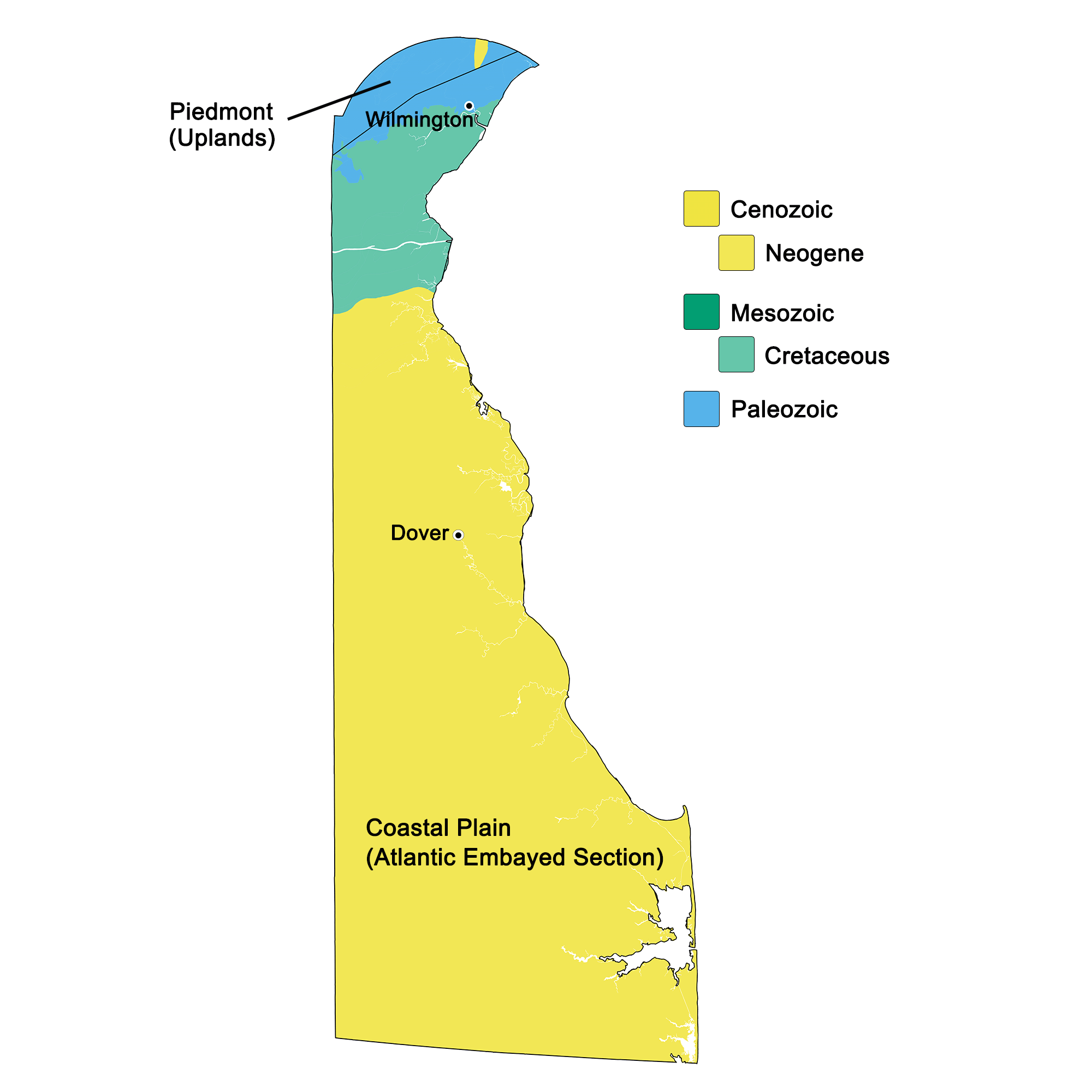
Geologic map of Delaware showing maximum ages of mappable units. Image by Kiera D. Crowley for the Earth@Home project developed using QGIS and USGS data (public domain) from Fenneman and Johnson (1946) and Horton et al. (2017).
Delaware State Fossil: Belemnite
The state fossil of Delaware is the Cretaceous belemnite Belemnitella americana, which occurs in the Mount Laurel Formation in the Chesapeake and Delaware (C&D) Canal. Belemnites are an extinct group of cephalopods that are related to squid.
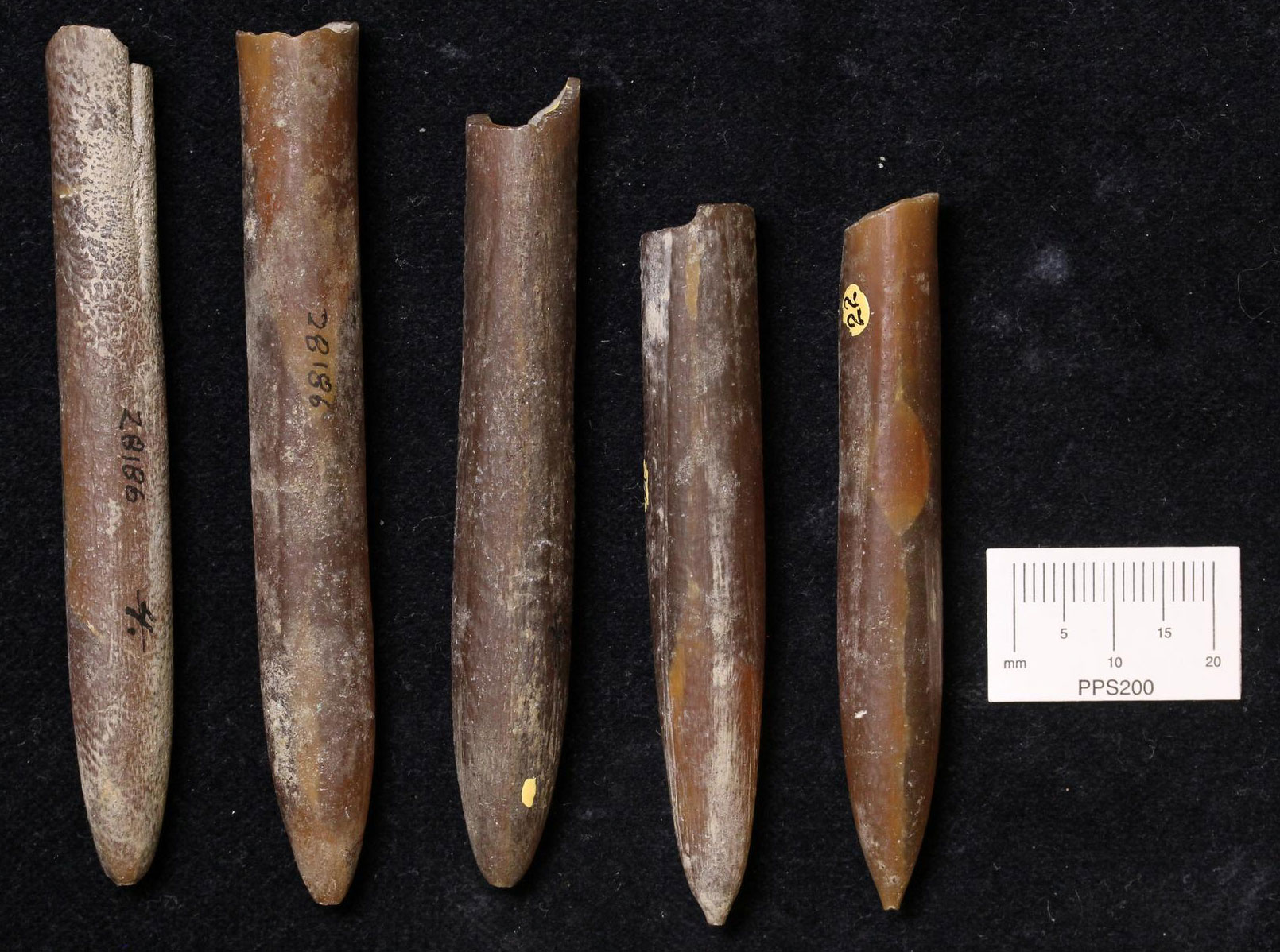
Belemnites (Belemnites americana), Cretaceous, Monmouth County, New Jersey. Although these belemnites did not come from the C&D Canal, similar fossils can be found there. Photo of specimen YPM IP 028186 by Jessica Utrup, Yale Peabody Museum (GBIF.org, CC0 1.0 Universal, public domain dedication).
Delaware State Rock: None
Delaware does not yet have an official state rock.
Delaware State Mineral: Sillimanite
The official state mineral of Delaware is Sillimanite, named for Benjamin Silliman.
Delaware State Gem: None
Delaware does not yet have an official state gem.
Delaware's Highest and Lowest Elevations
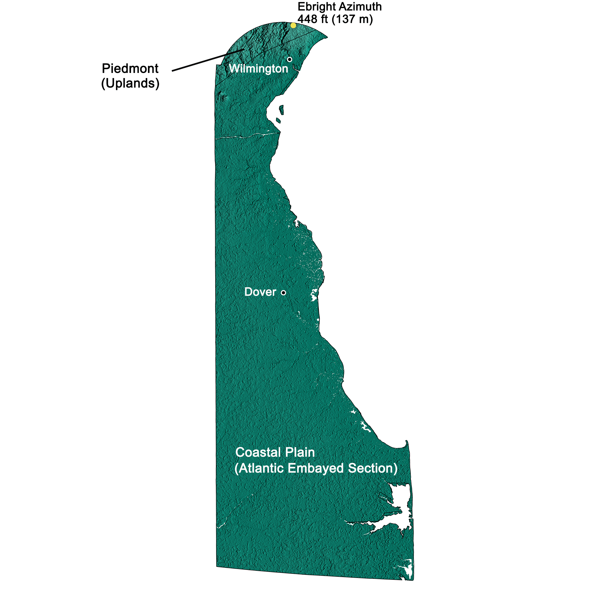
Topographic map of Delaware with physiographic regions and point of highest elevation identified. Topographic data are derived from the Shuttle Radar Topography Mission (SRTM GL3) Global 90m (SRTM_GL3) (Farr, T. G., and M. Kobrick, 2000, Shuttle Radar Topography Mission produces a wealth of data. Eos Trans. AGU, 81:583-583). Image by Kiera D. Crowley for the Earth@Home project.
Highest Elevation: Ebright Azimuth
The point of highest elevation in Connecticut is Ebright Azimuth (448 ft; 137 m).
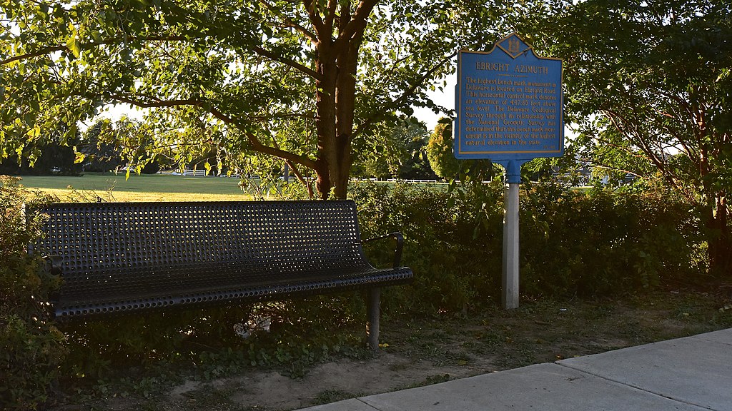
Ebright Azimuth, the point of highest elevation in Delaware. Photograph by Skye Marthaler (Wikimedia Commons; Creative Commons Attribution-Share Alike 4.0 International license).
Lowest Elevation: Atlantic Coast
Delaware's lowest points are along its Atlantic coastline, where the shore is at sea level.
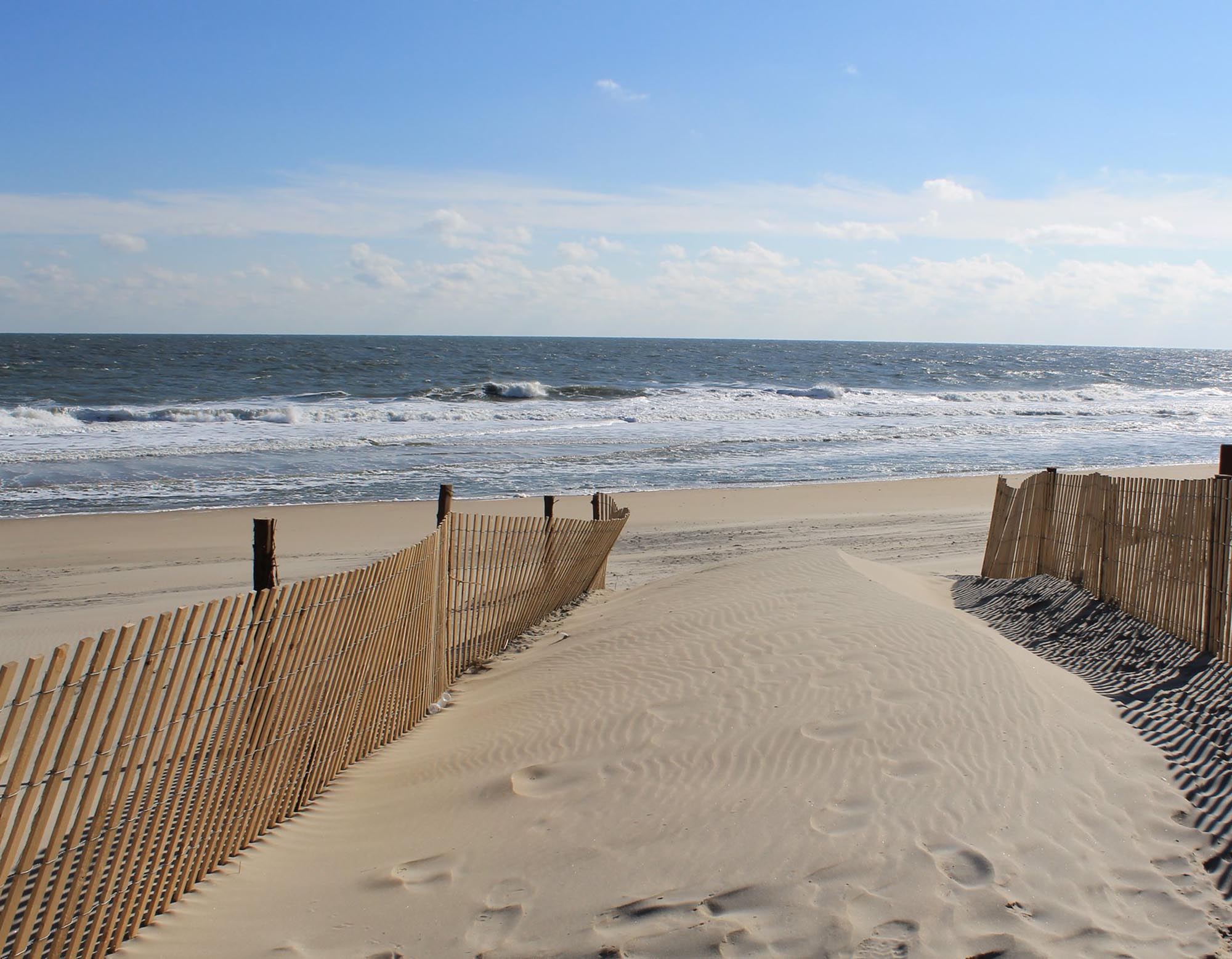
The sandy beach of the Atlantic Coast at Fenwick Island State Park in southern Delaware. Photo by Patrick Nouhailler (Flickr; Creative Commons Attribution-ShareAlike 2.0 generic license; image cropped and resized).
Places to Visit
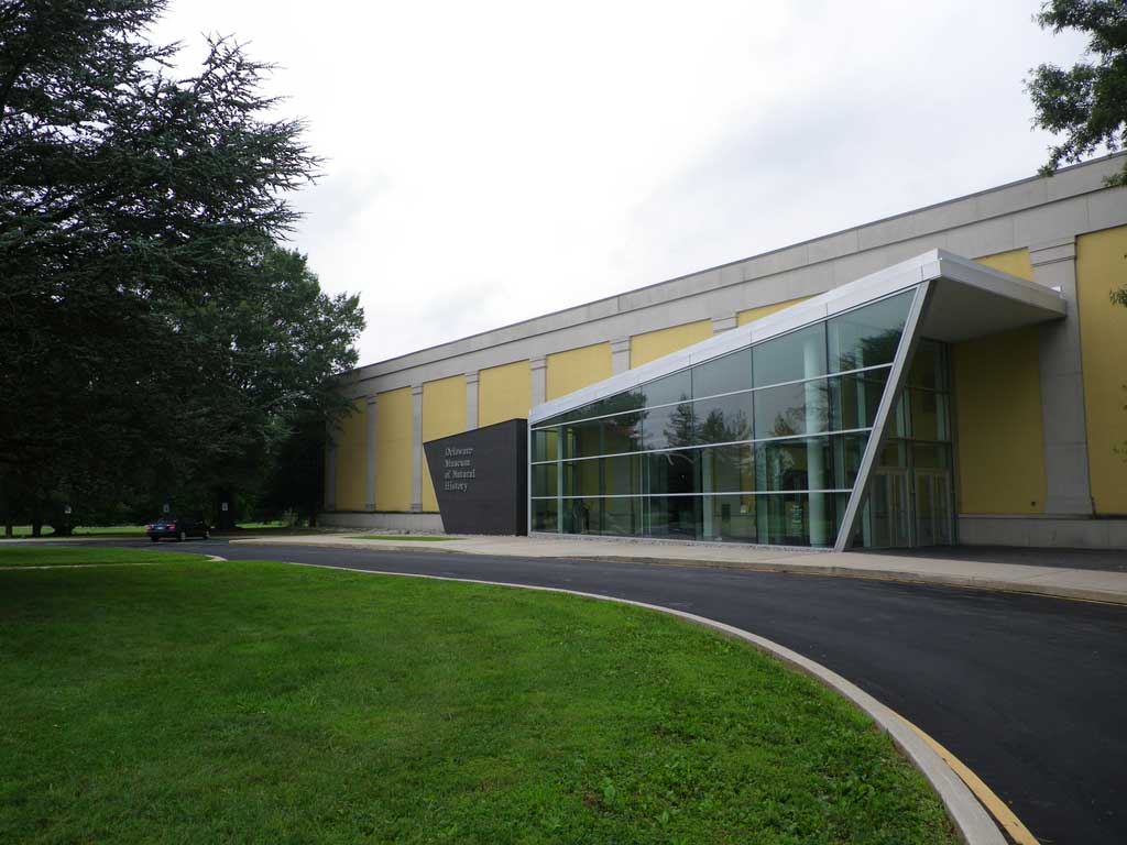
The Delaware Museum of Nature & Science. Photograph by "Dmadeo" (Wikimedia Commons; Creative Commons Attribution-Share Alike 3.0 Unported license).
Additional resources

Earth@Home resources about Delaware and nearby states:
- Rocks: Central Lowland, Inland Basin, Appalachians and Piedmont, Coastal Plain, and Exotic Terrane.
- Fossils: Central Lowland, Inland Basin, Appalachians and Piedmont, Coastal Plain, and Exotic Terrane.
- Topography: Central Lowland, Inland Basin, Appalachians and Piedmont, Coastal Plain, and Exotic Terrane.
- Mineral Resources: Central Lowland, Inland Basin, Appalachians and Piedmont, Coastal Plain, and Exotic Terrane.
Earth@Home resources about the northeastern region of the United States: